All posts by eJv1730

Hovenweep National Monument, SE Utah

hov2
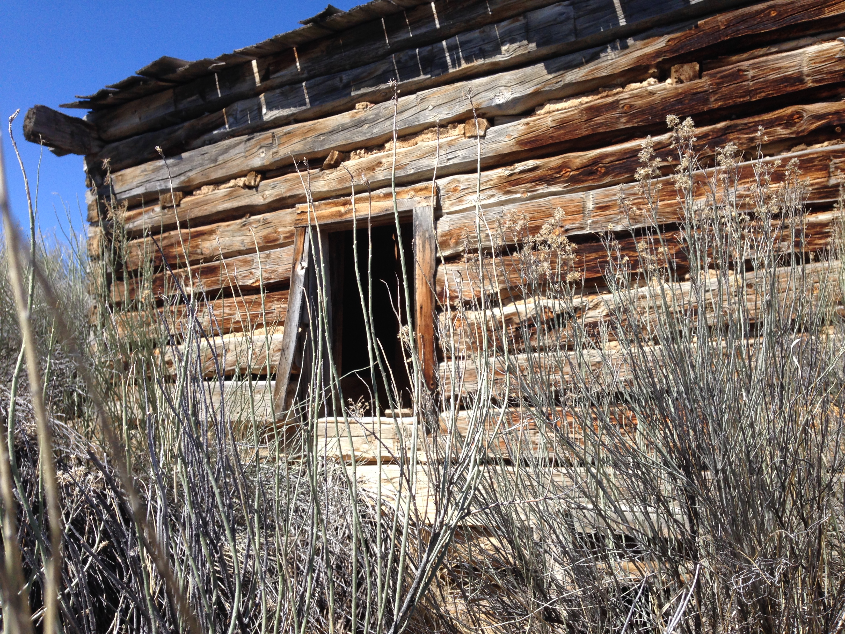
The first we know that there was structural ruins in this area came from an account in 1854 by a Mormon explorer named W.D. Huntington.  Some twenty years later when it was being surveyed and photographed, photographer Henry Jackson gave Hovenweep it’s name, which means “deserted valley” in the Ute/Paiute language.  The evidence was clear that someone had been here long ago but had also left long ago.

hov7

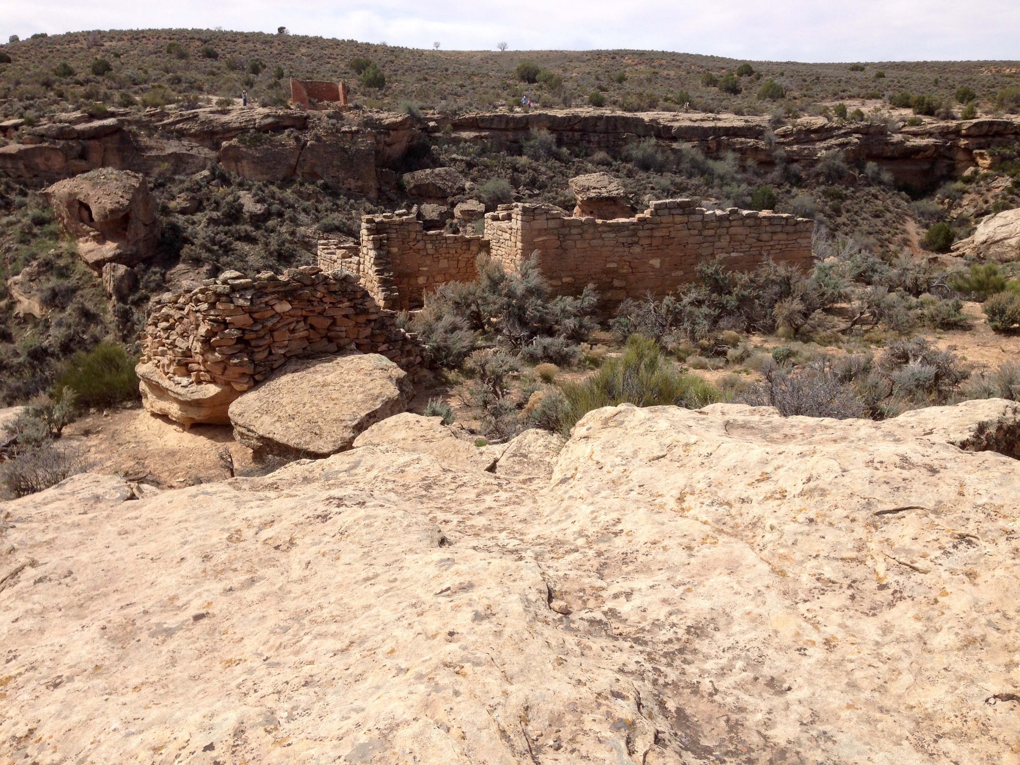
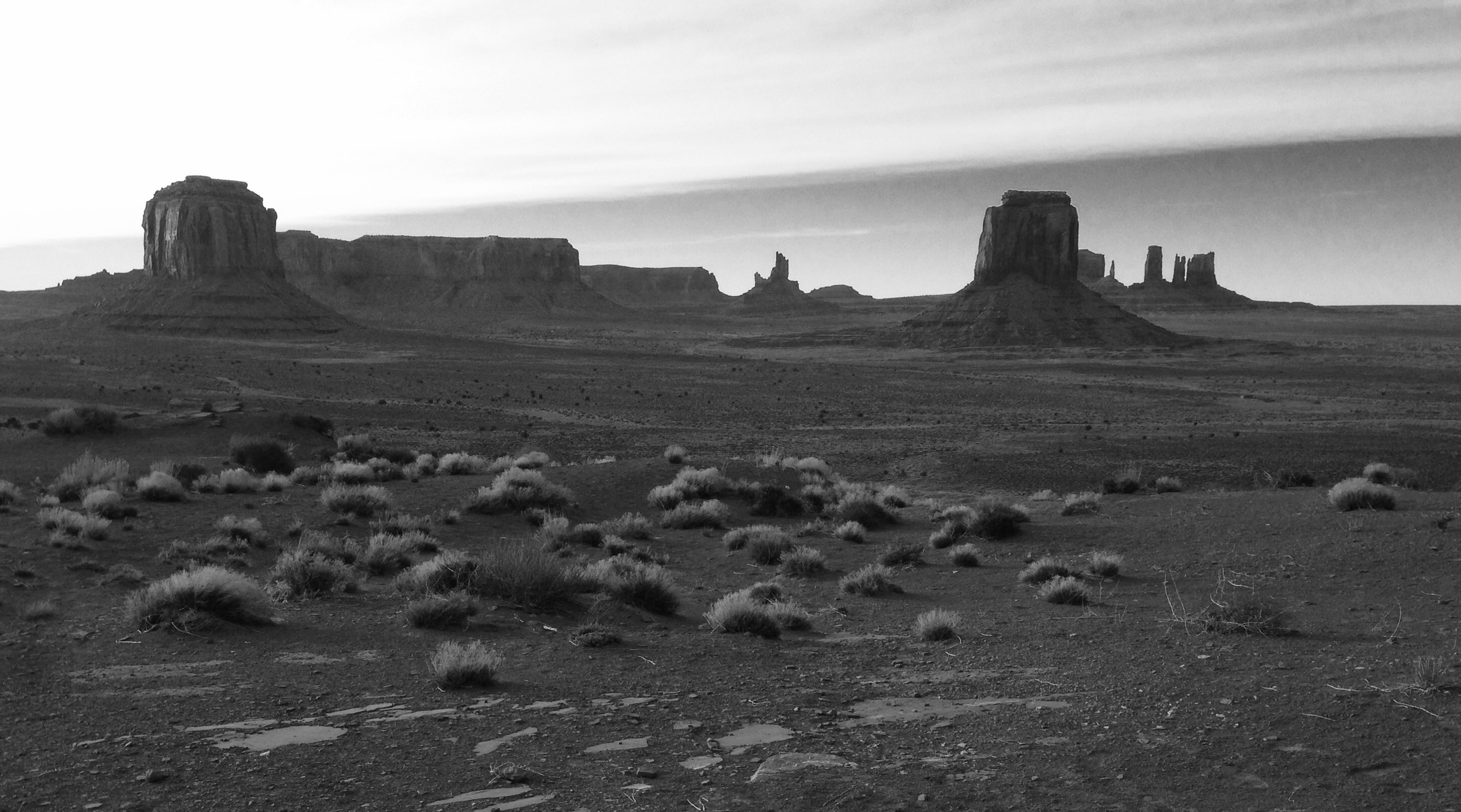
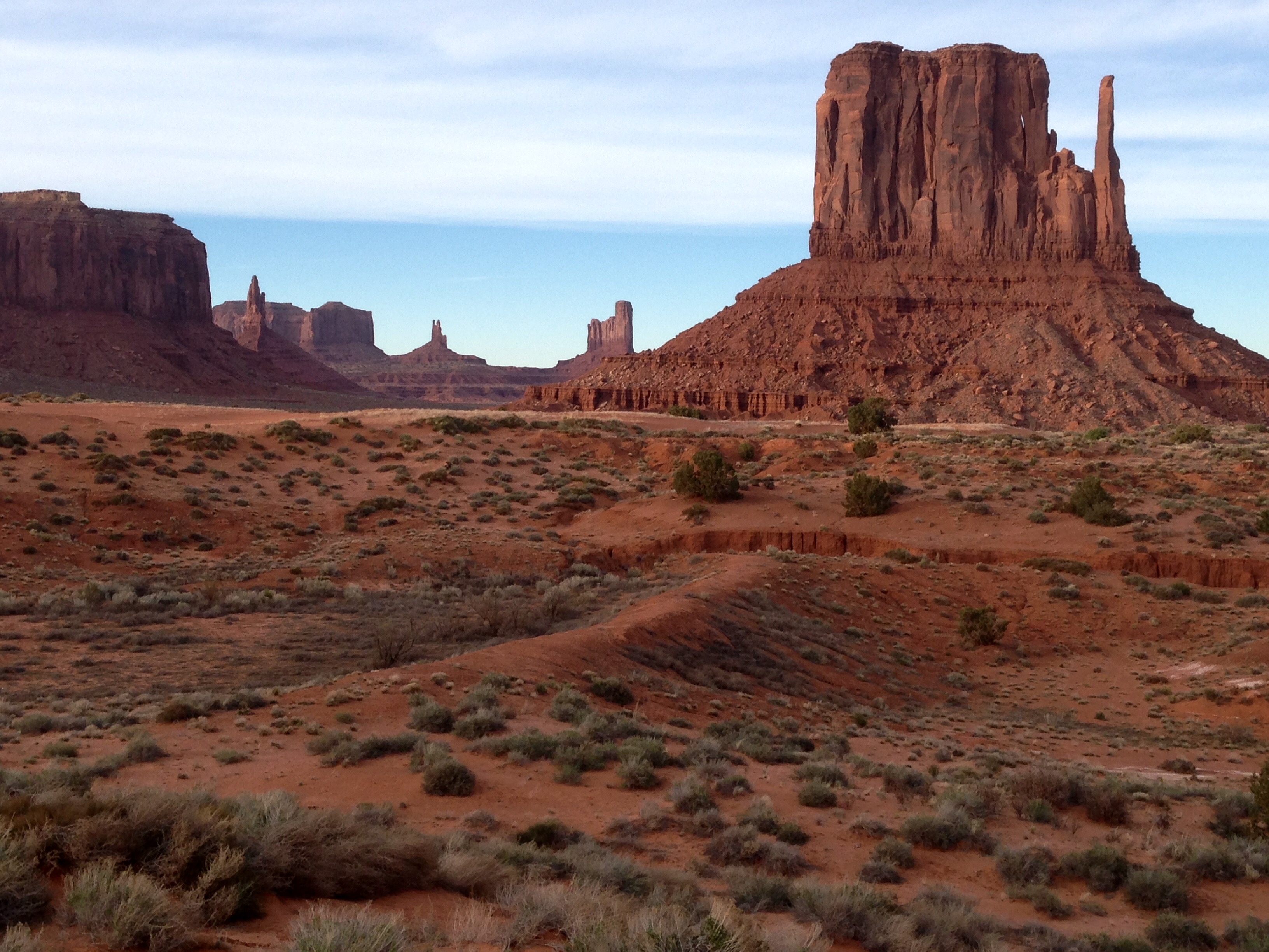
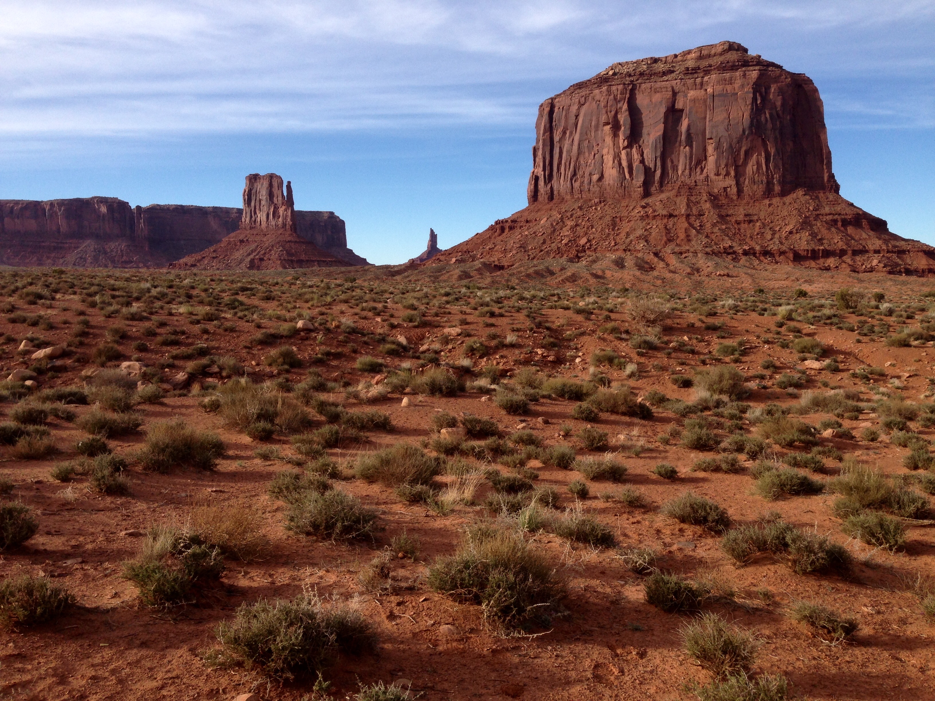
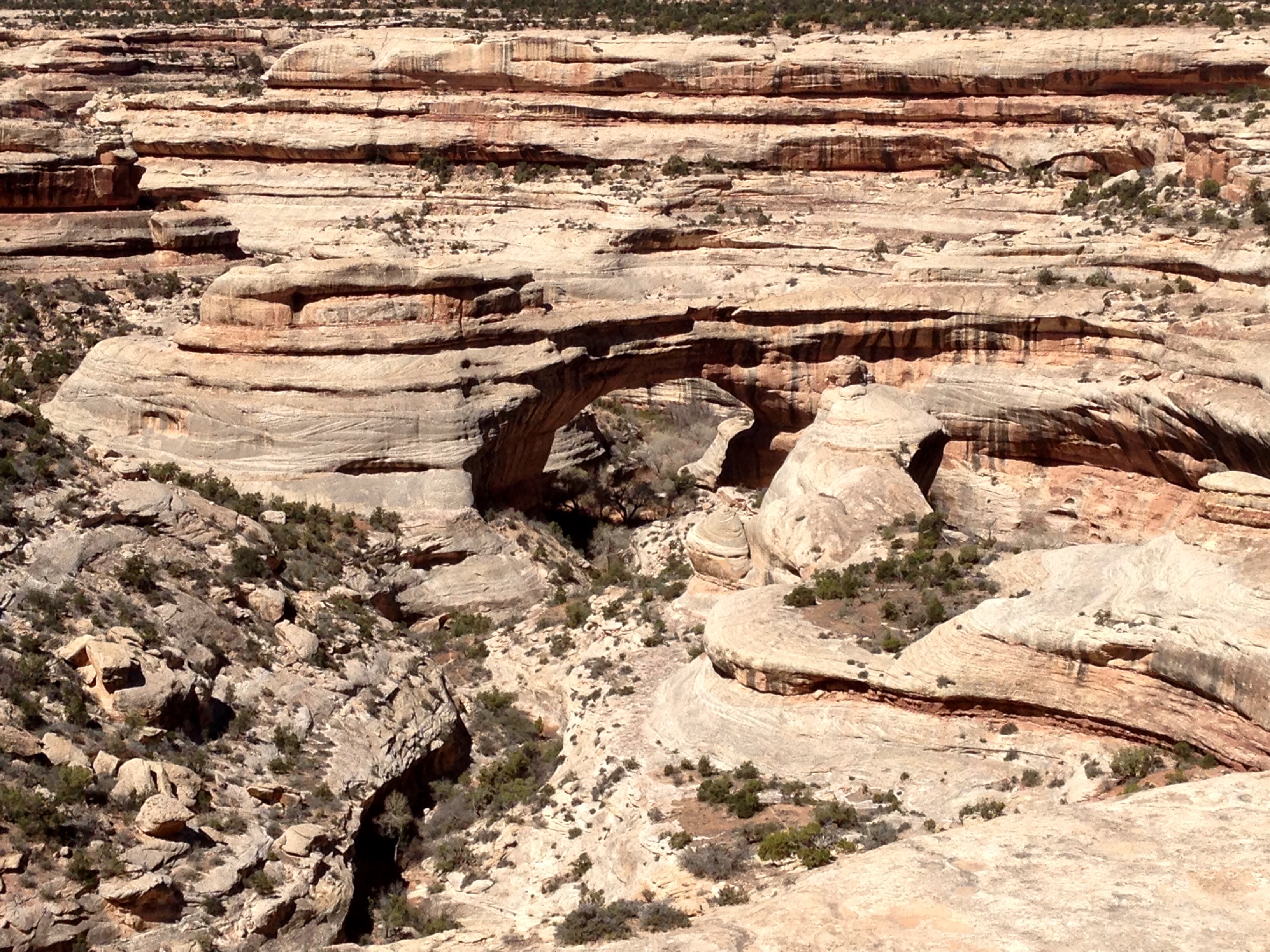
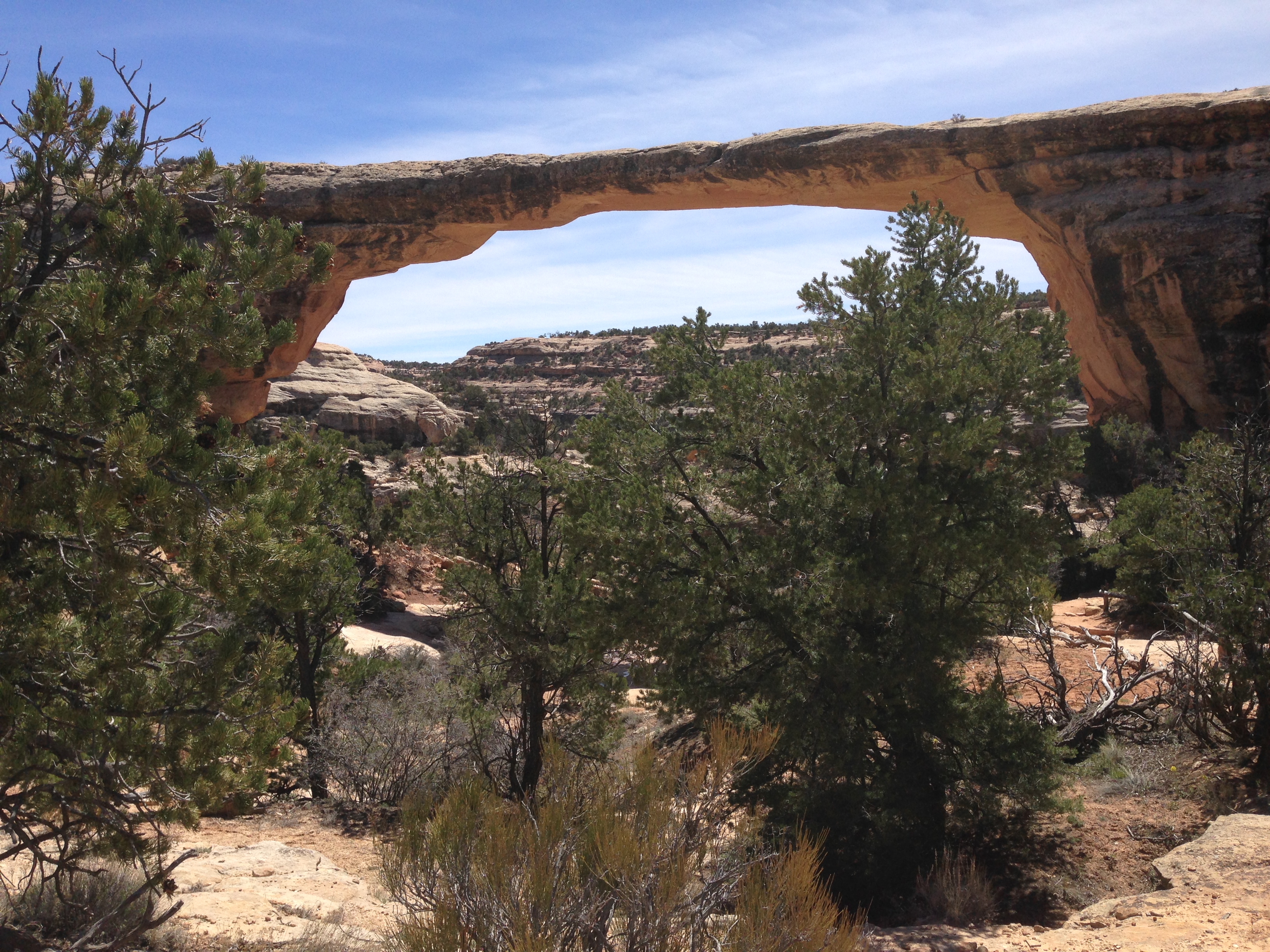
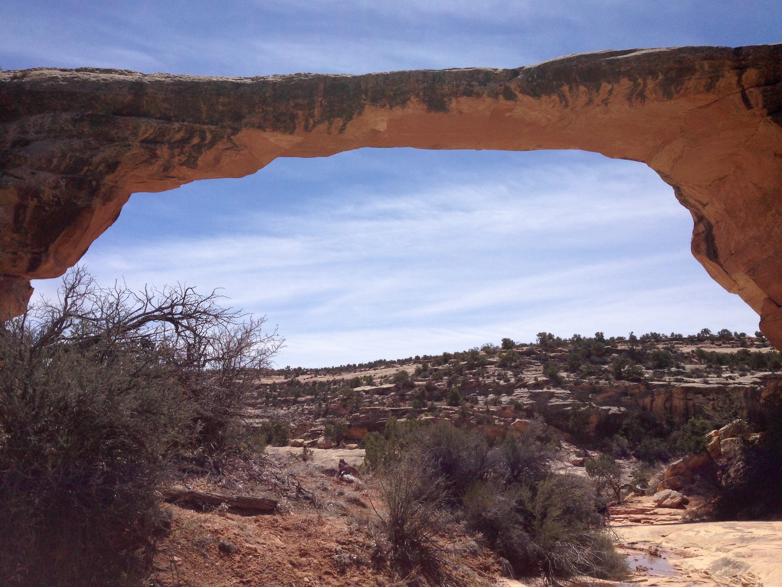
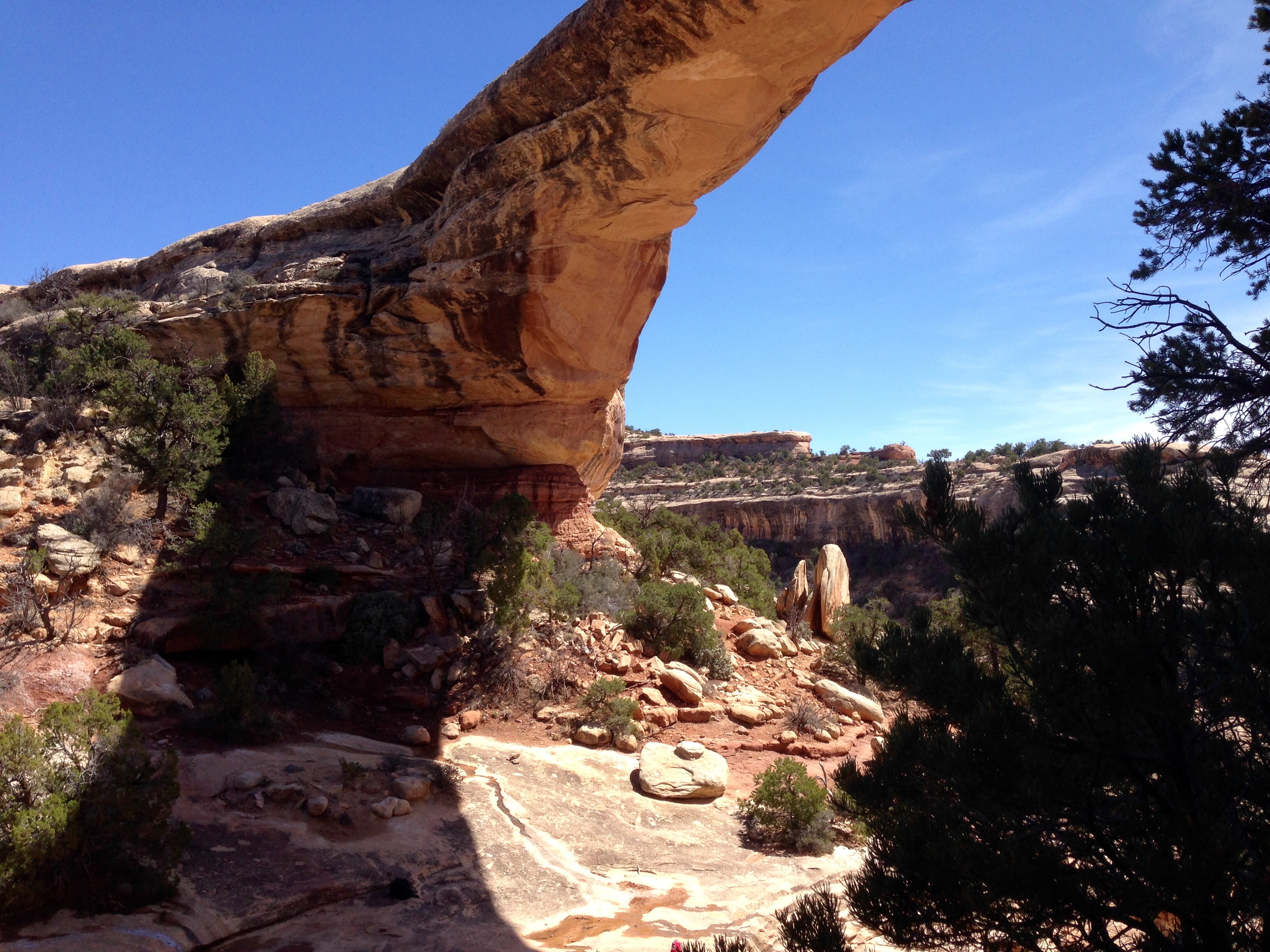
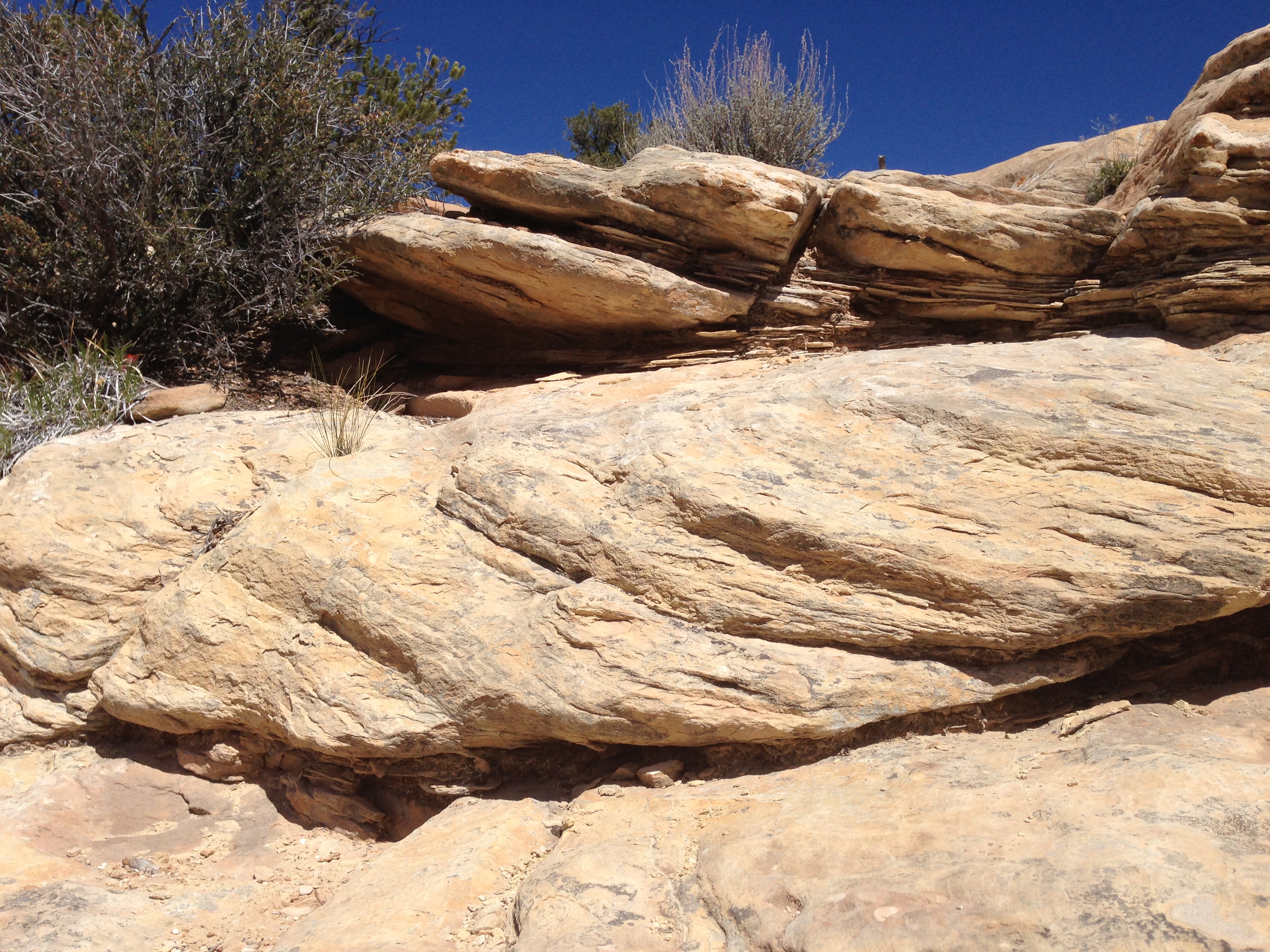
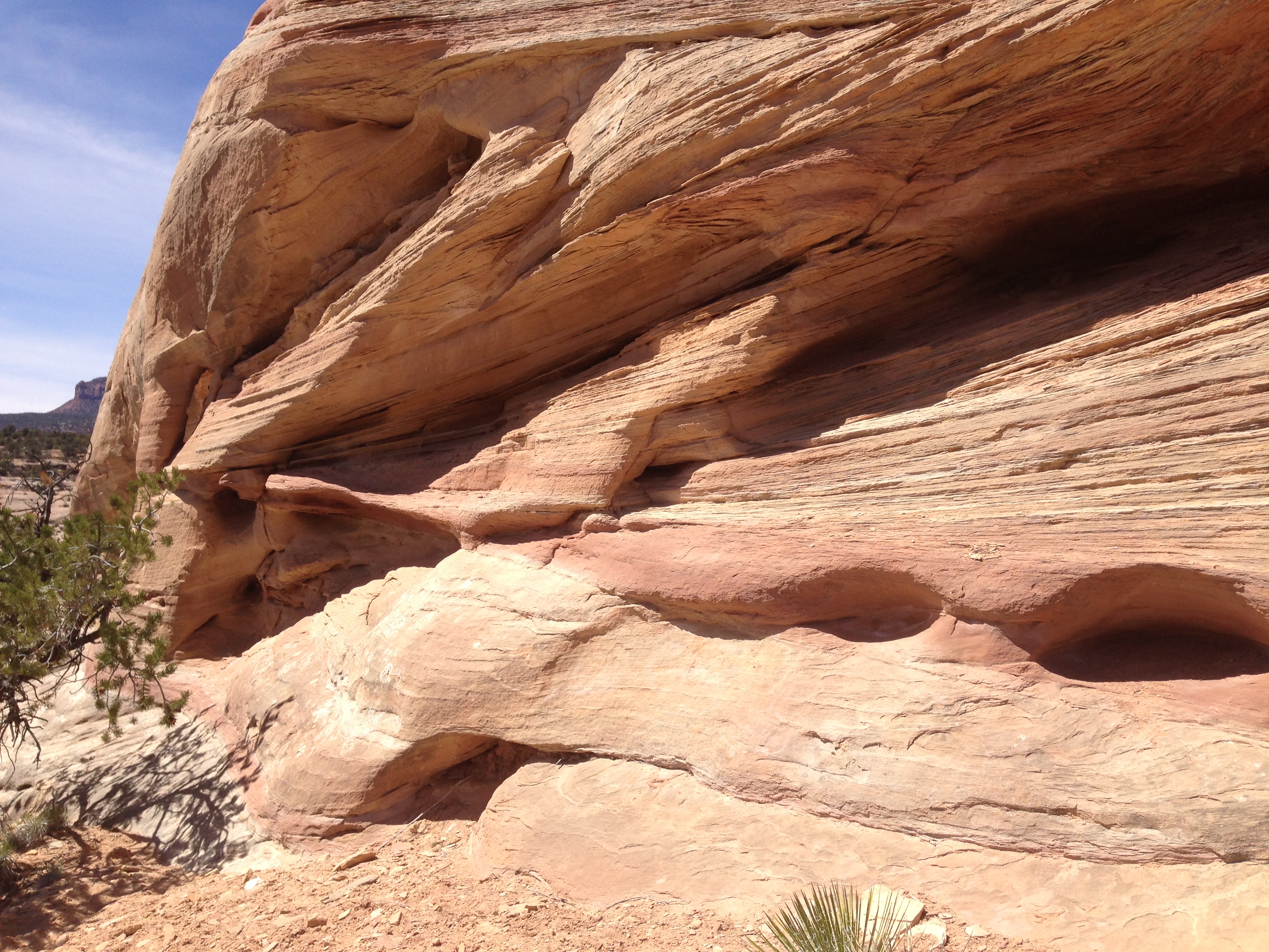
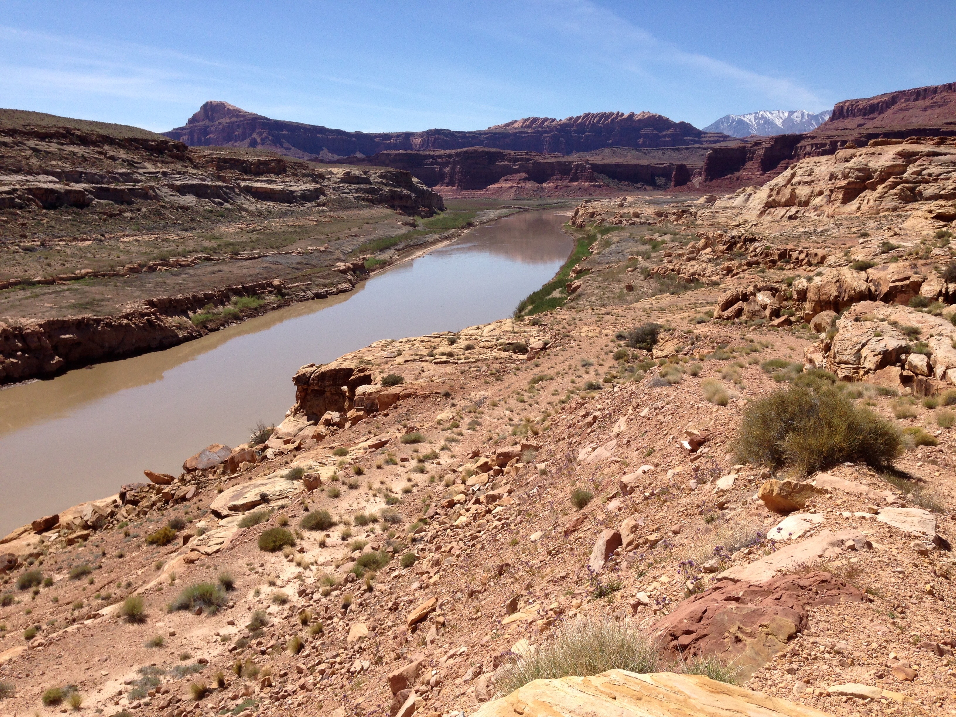
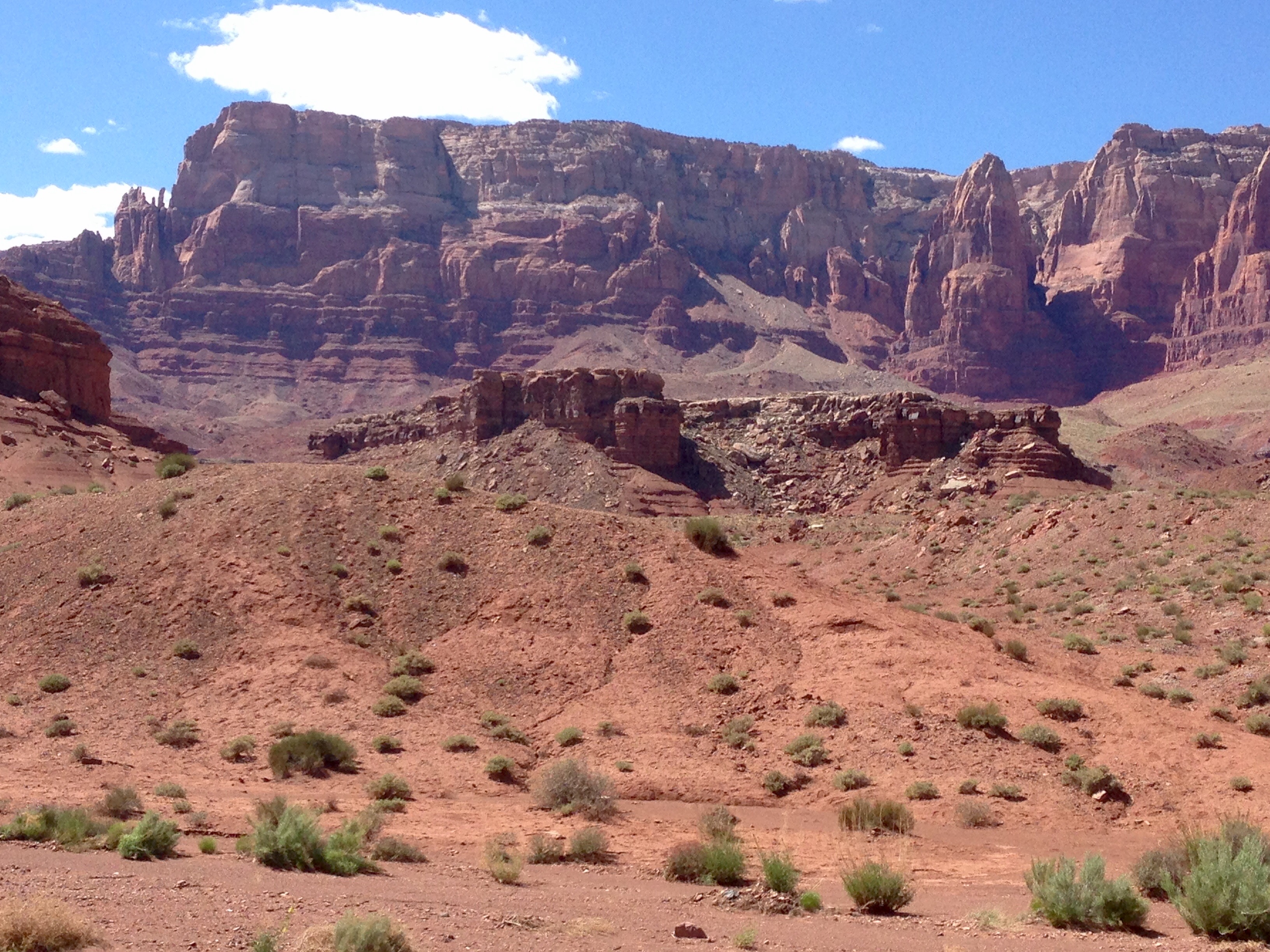
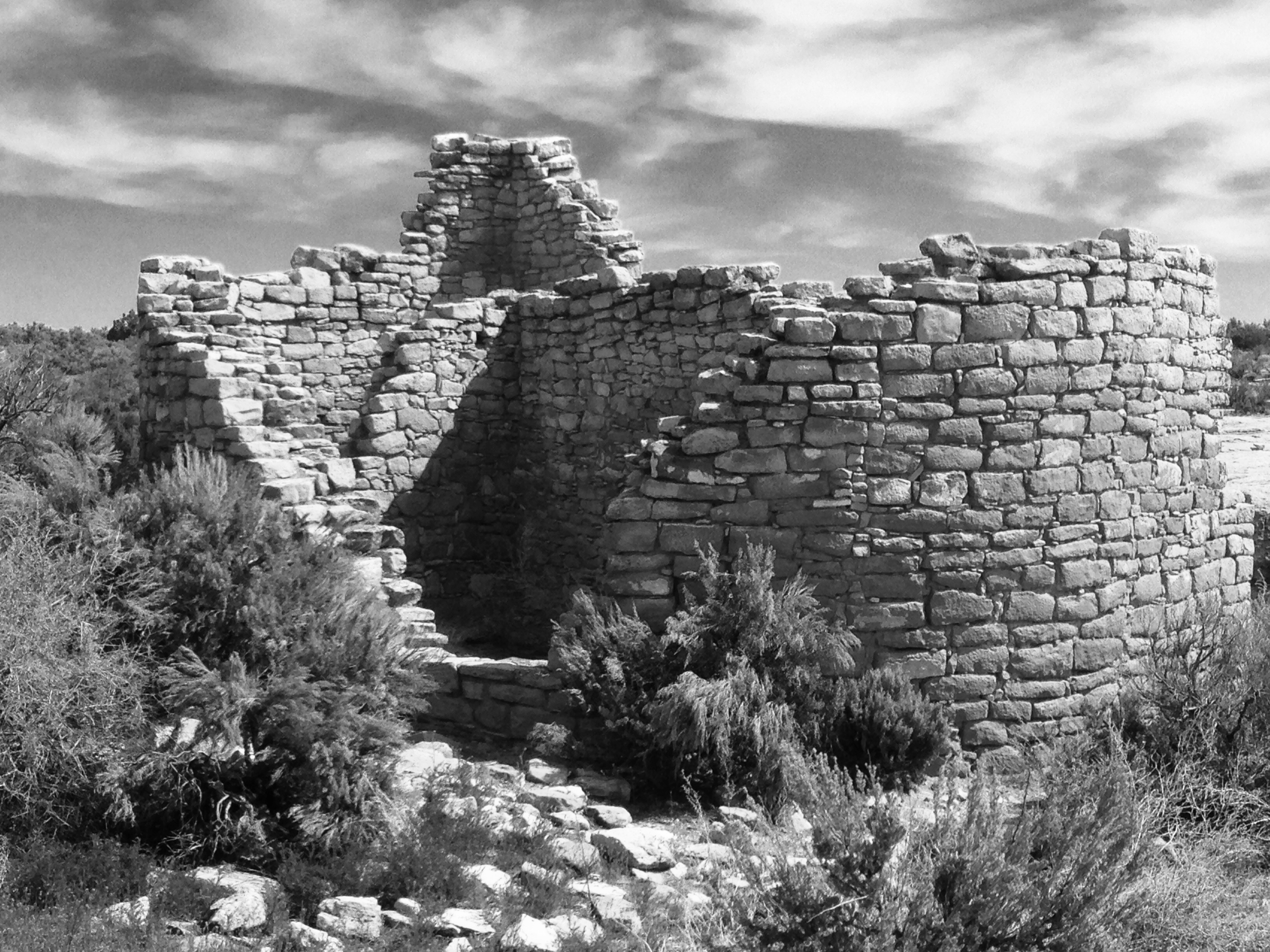
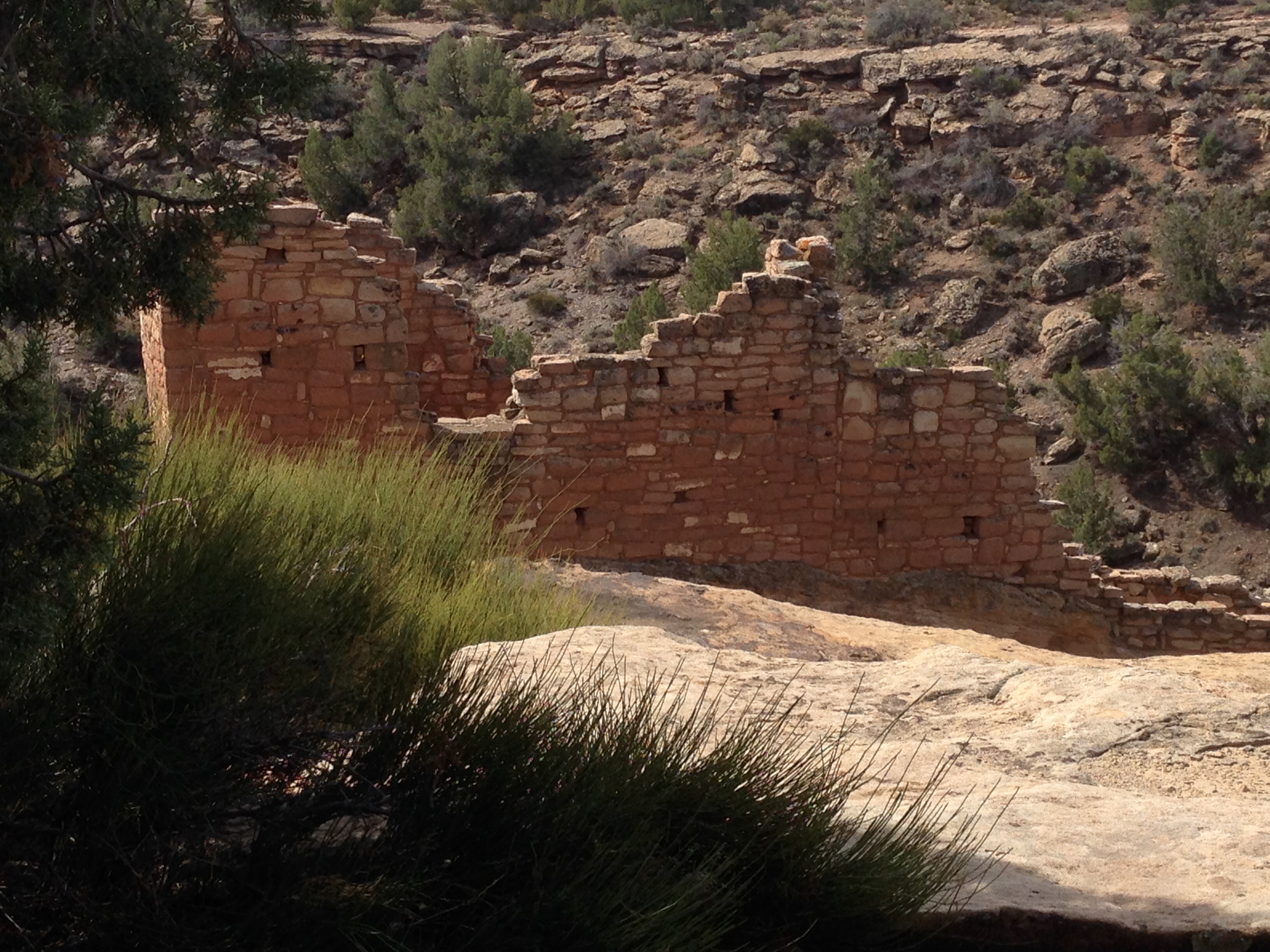
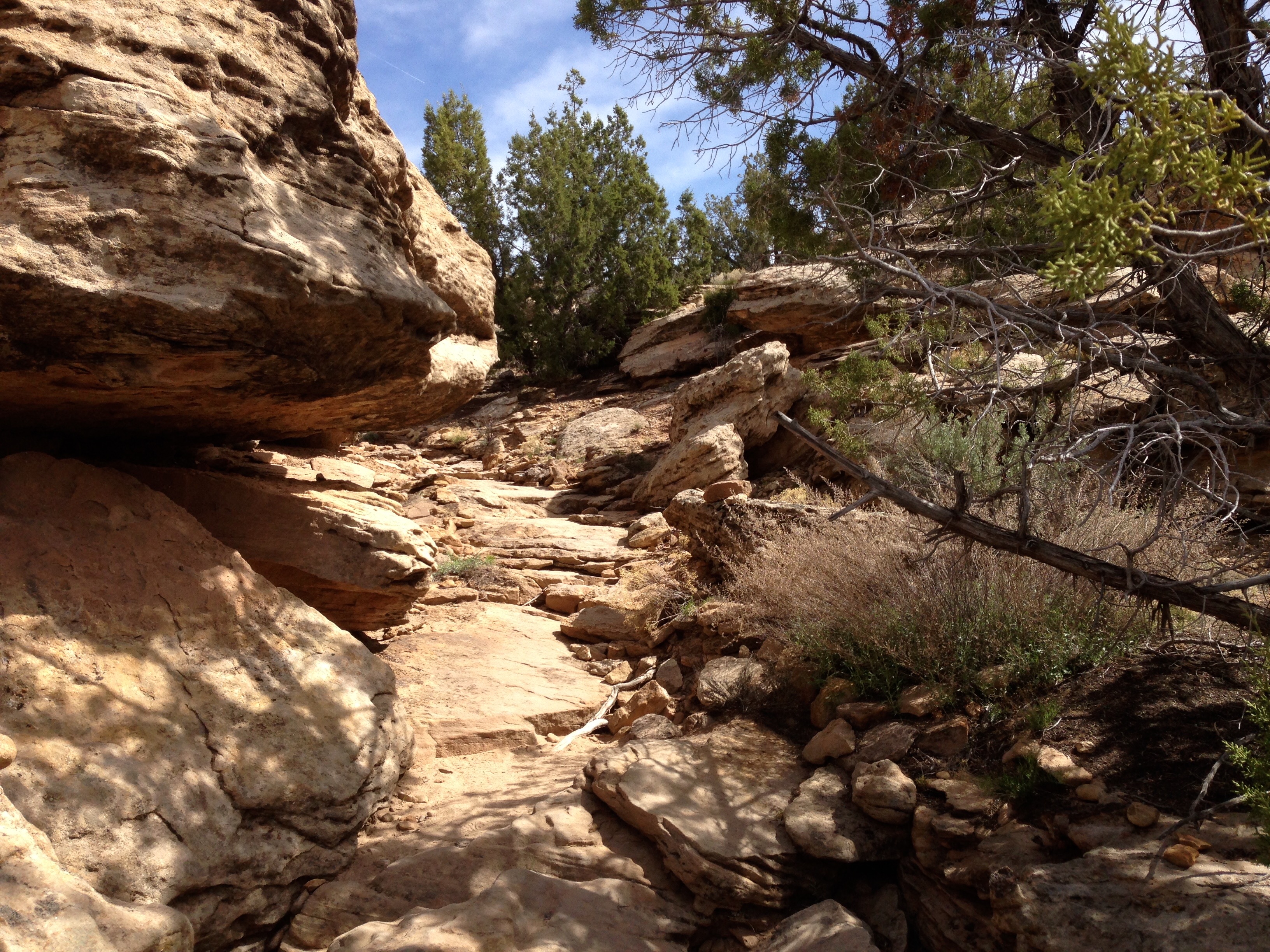
The ruins of several large communities are spread along an area of several miles.  These photos are of a community settled in a small canyon, thus it became known as Little Ruin Canyon.  Both rims have ruins and the distance from one rim to the other is never more than about 100 yards or so across.

hov5


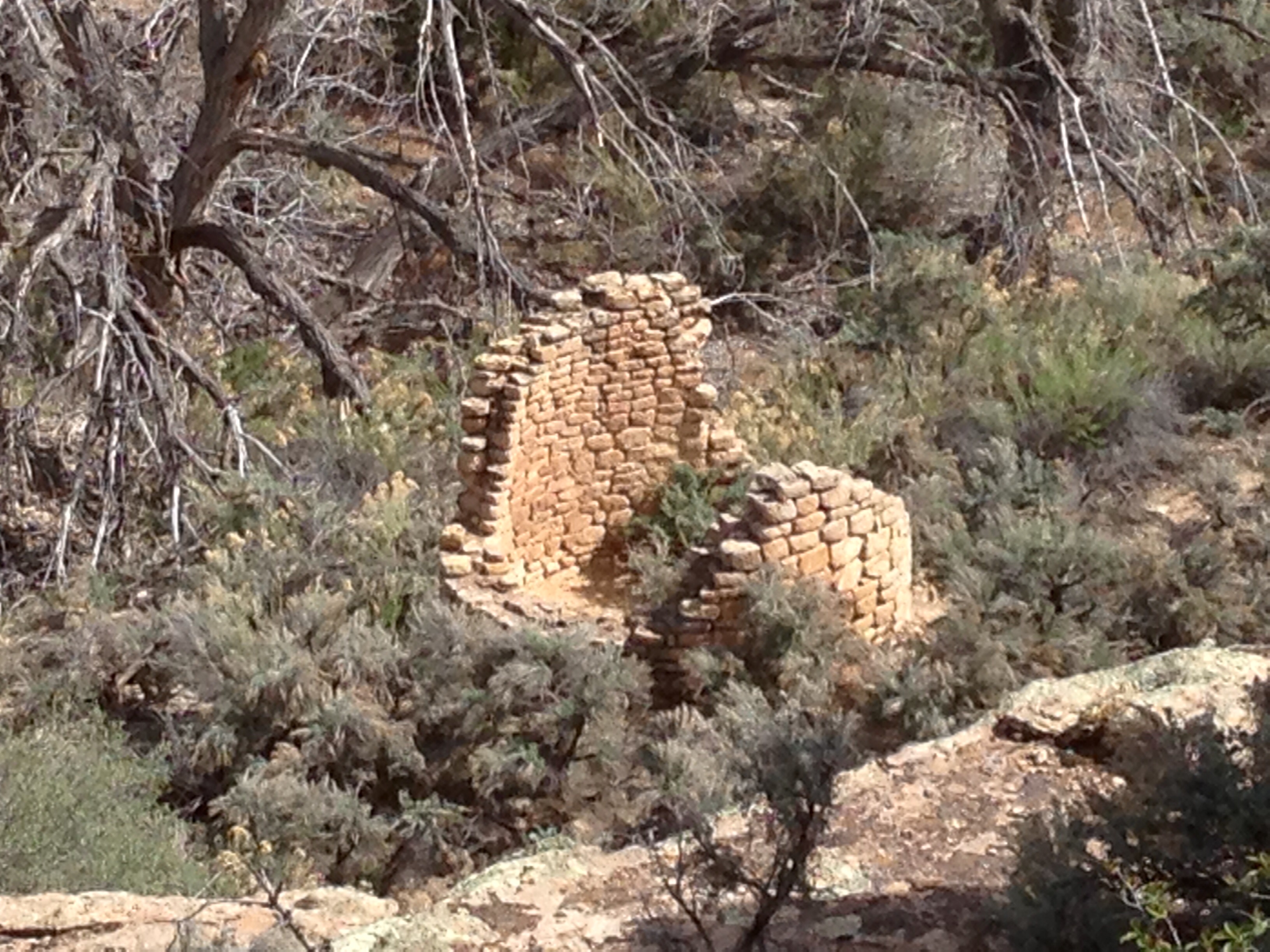
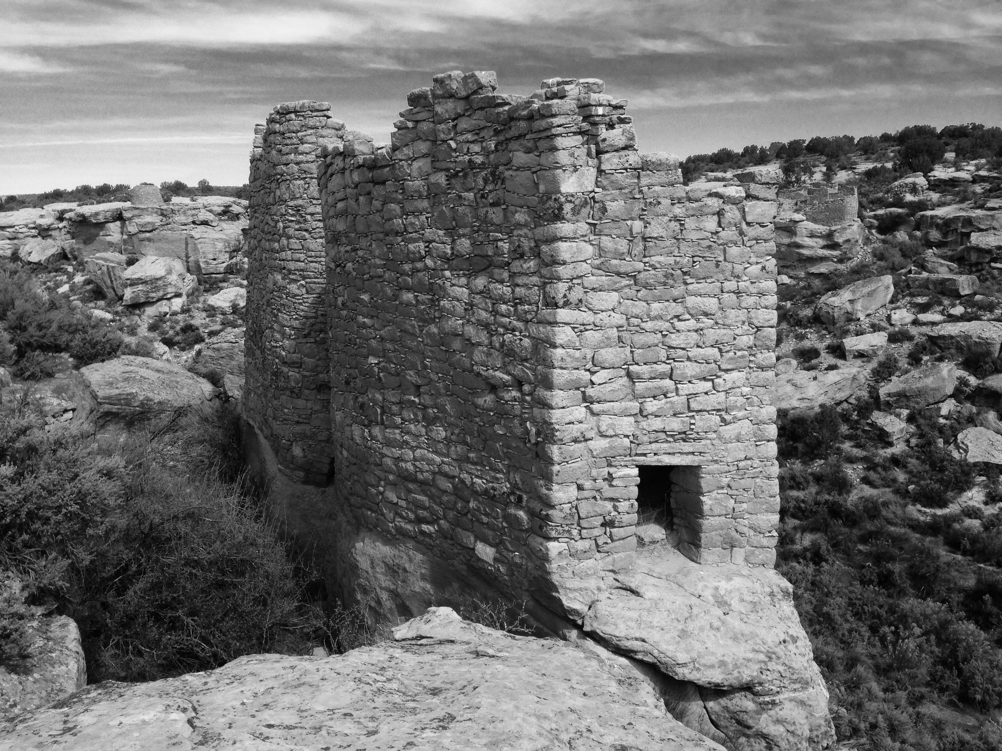
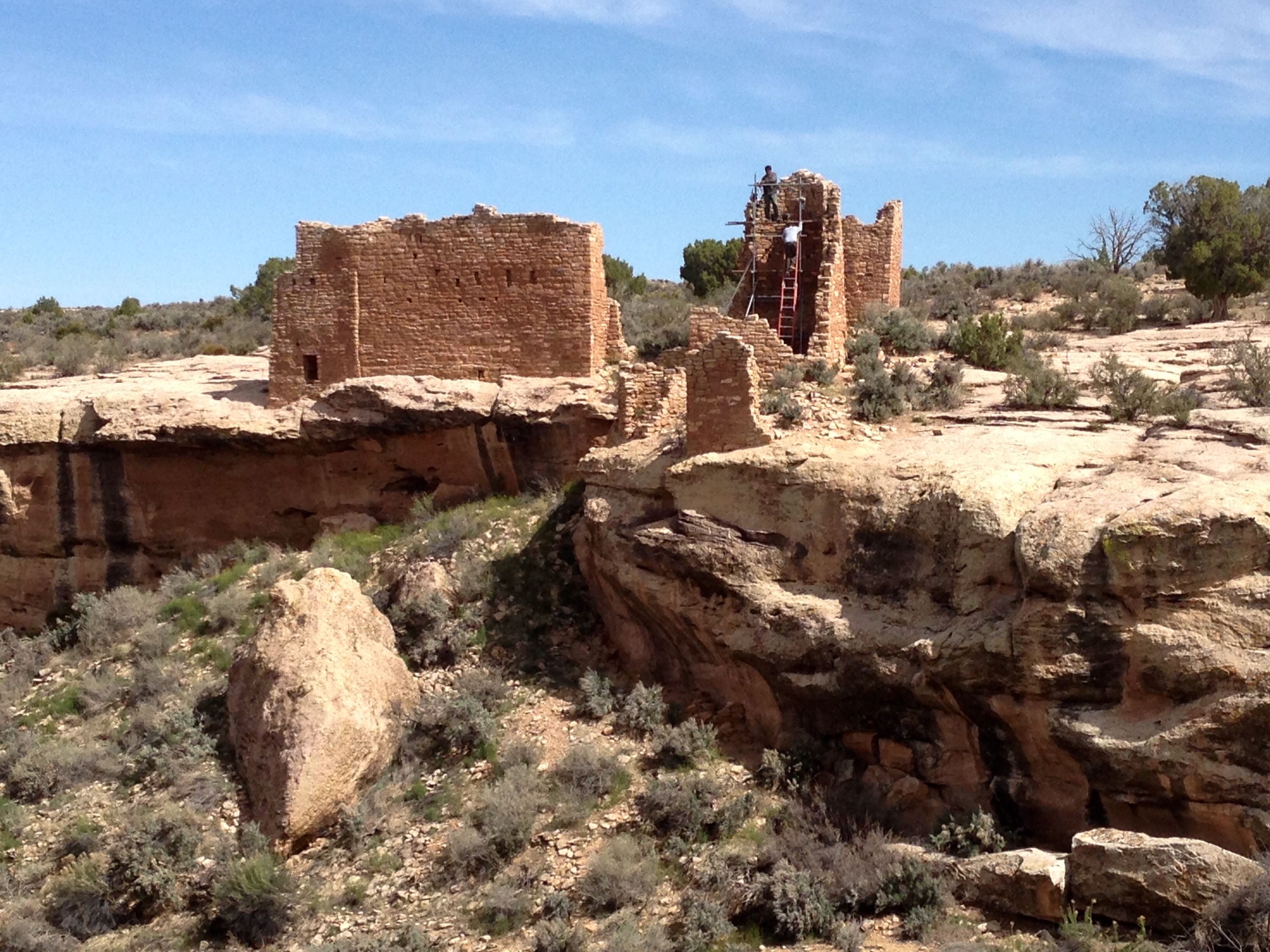
The evidence is clear that all of these structures were built in a relatively short time period and these Puebloan people were no slackers as masons.  Most of the structures have walls that are two and three courses thick.  It is thought that some of the structures were residential, some defensive, and some purely ceremonial.

hov8

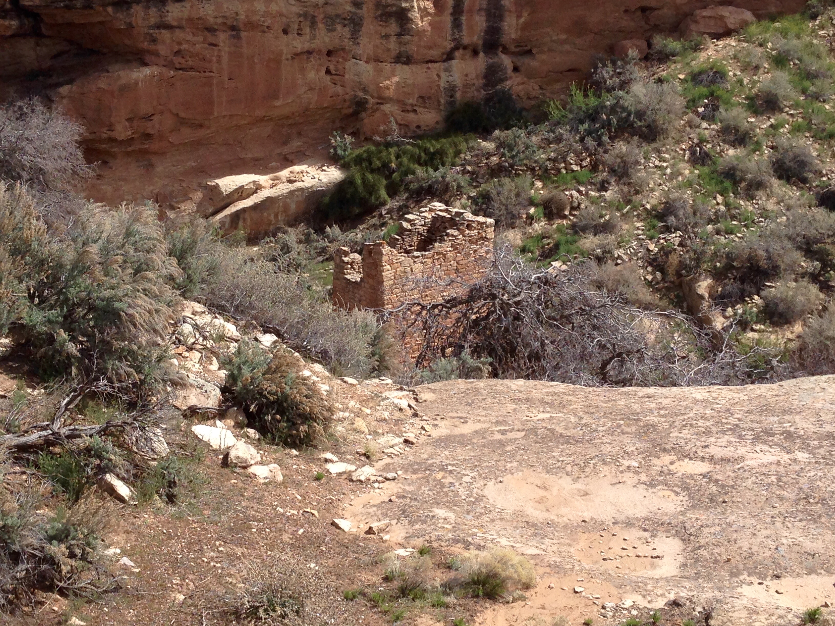
The Square Tower is the lowest ruin in the canyon and may have been three stories high.  This is one thought to be a ceremonial structure.


hov6hov1hov3


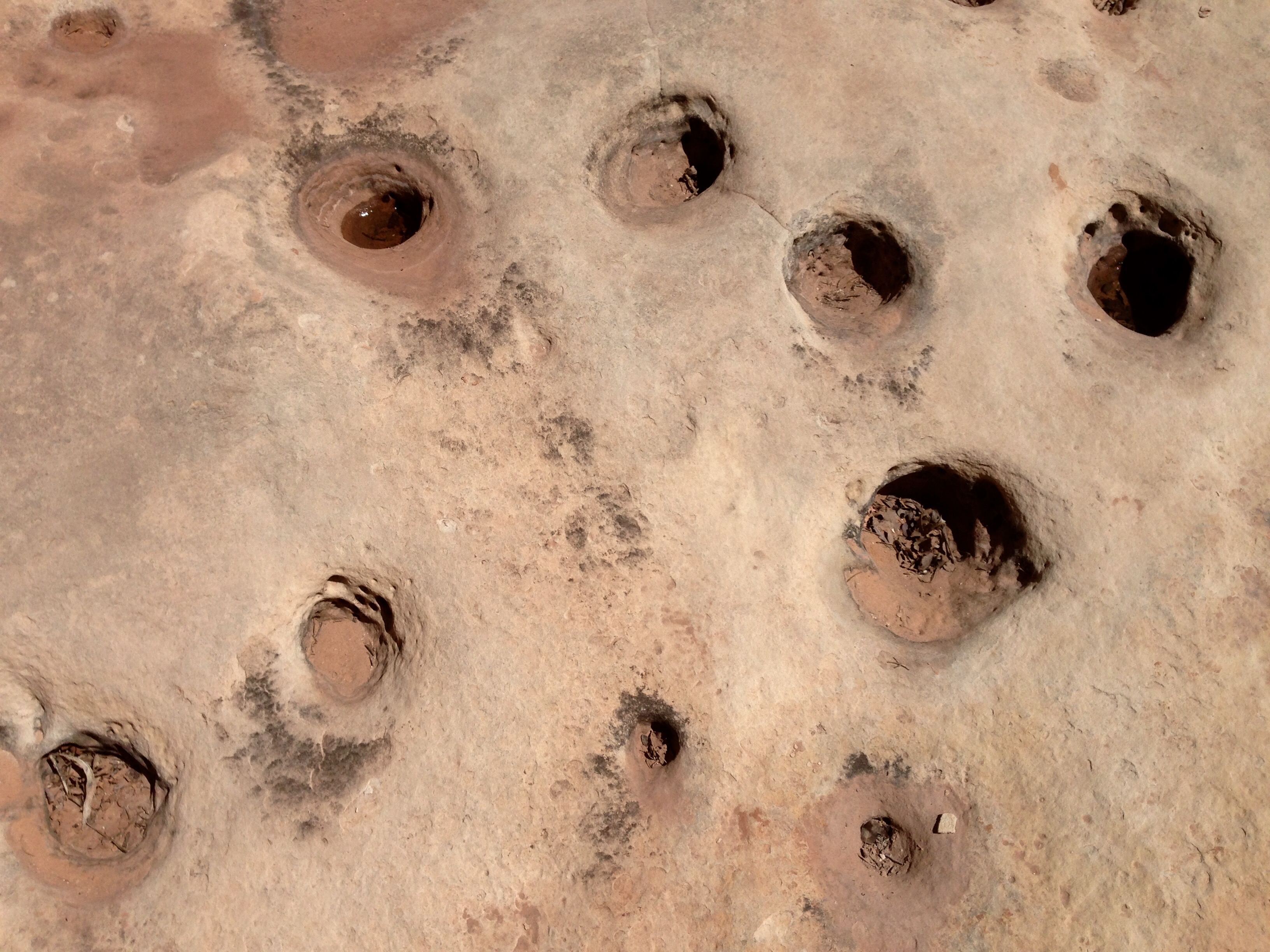
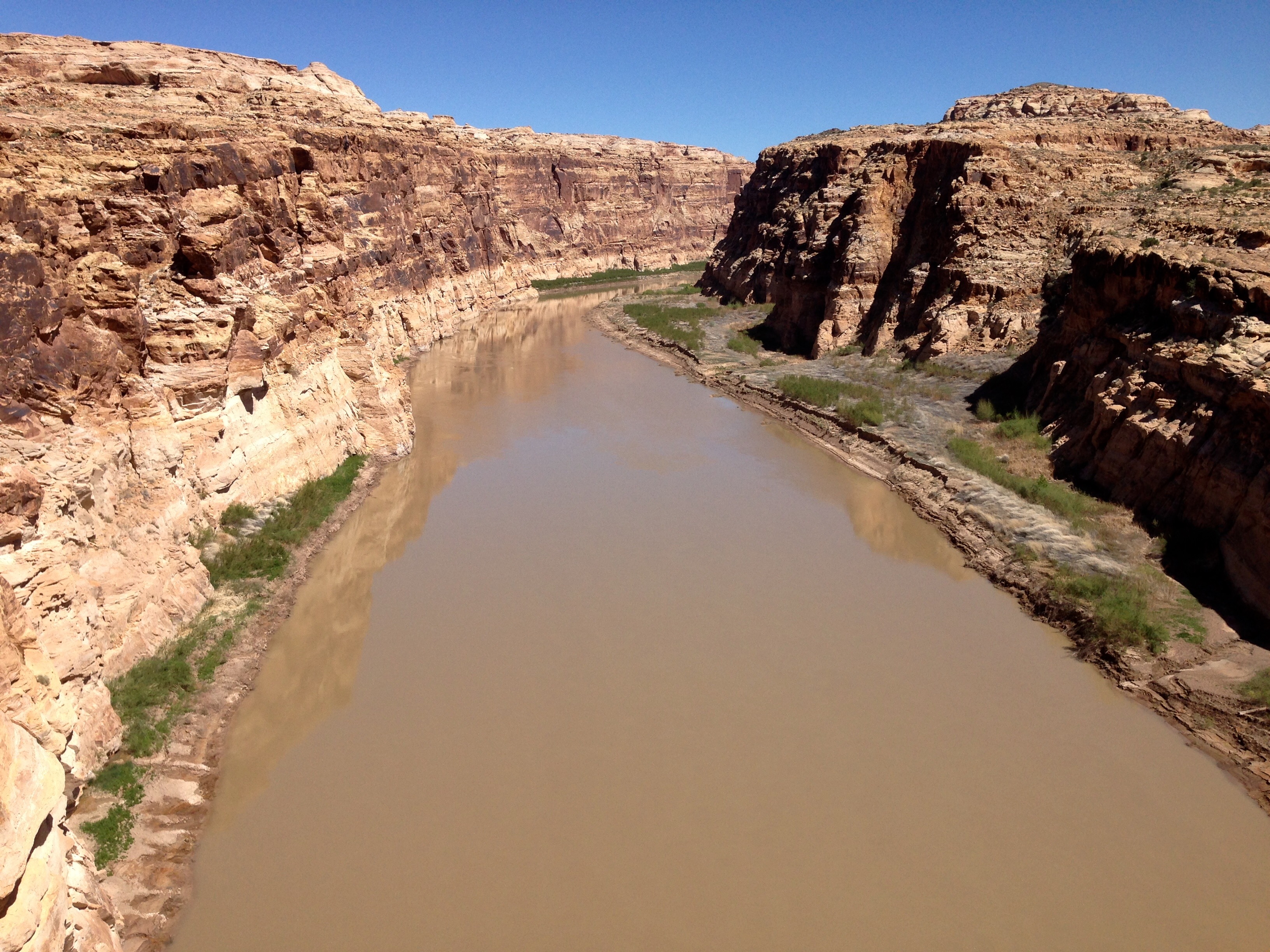
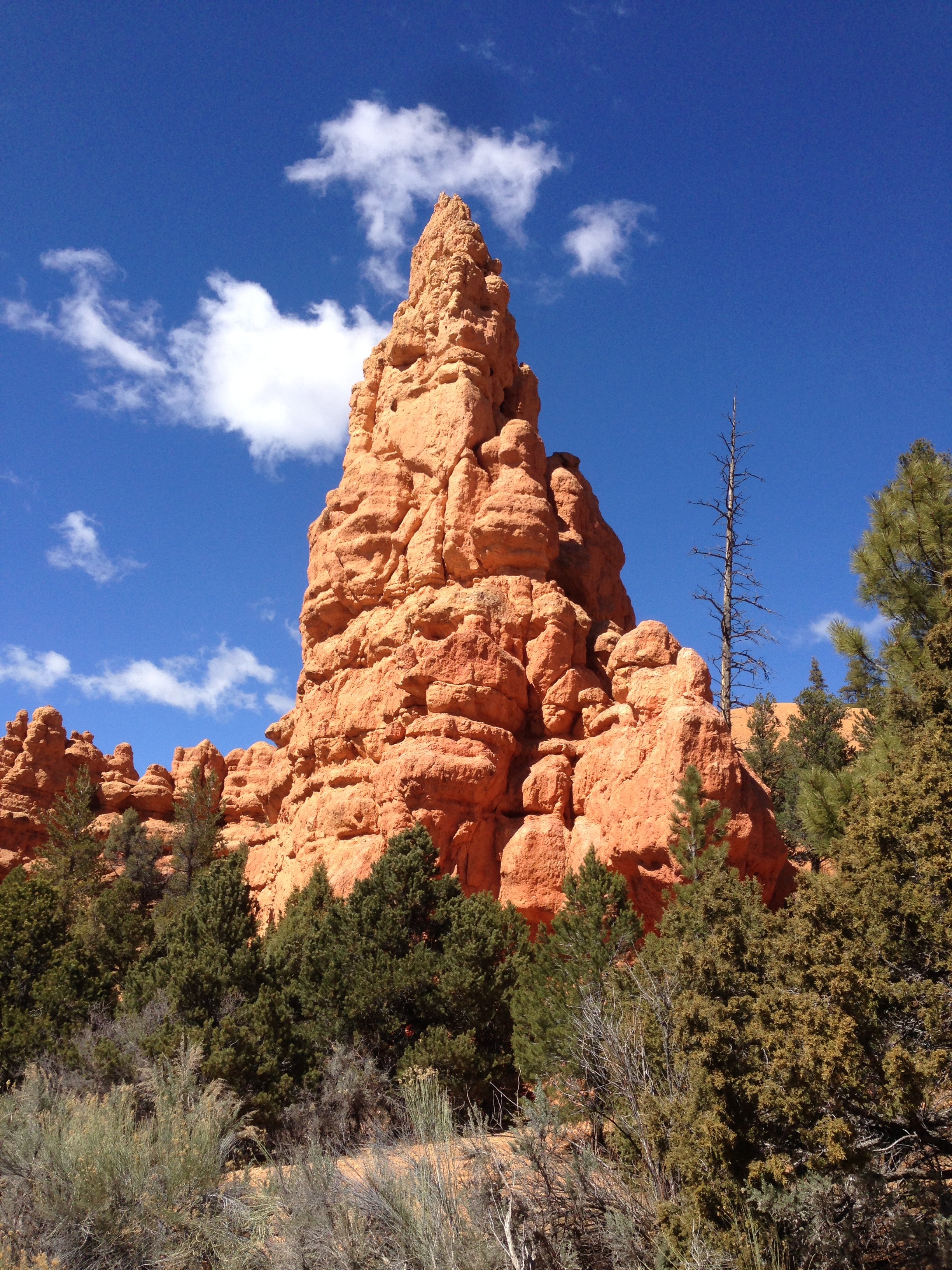
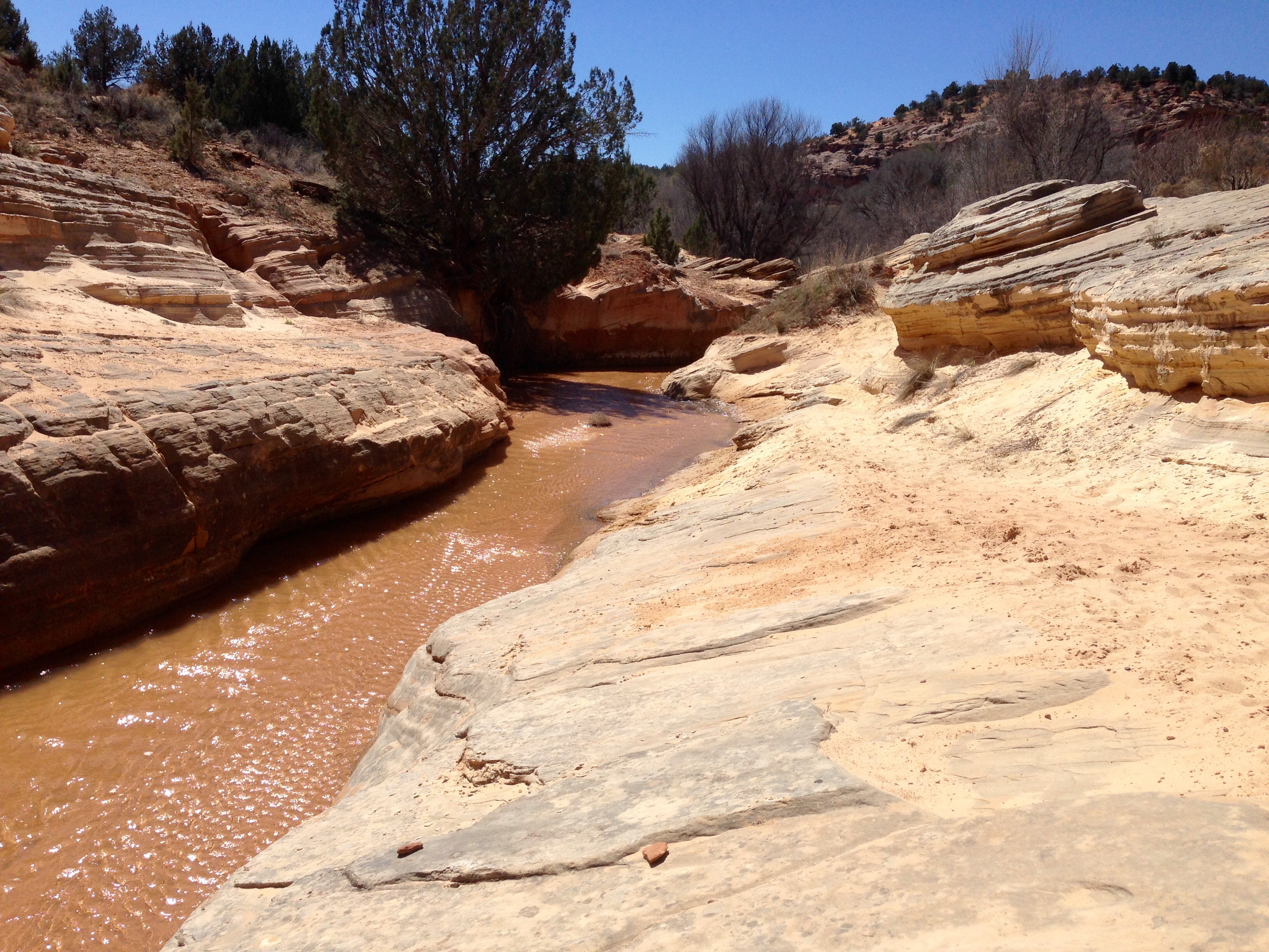
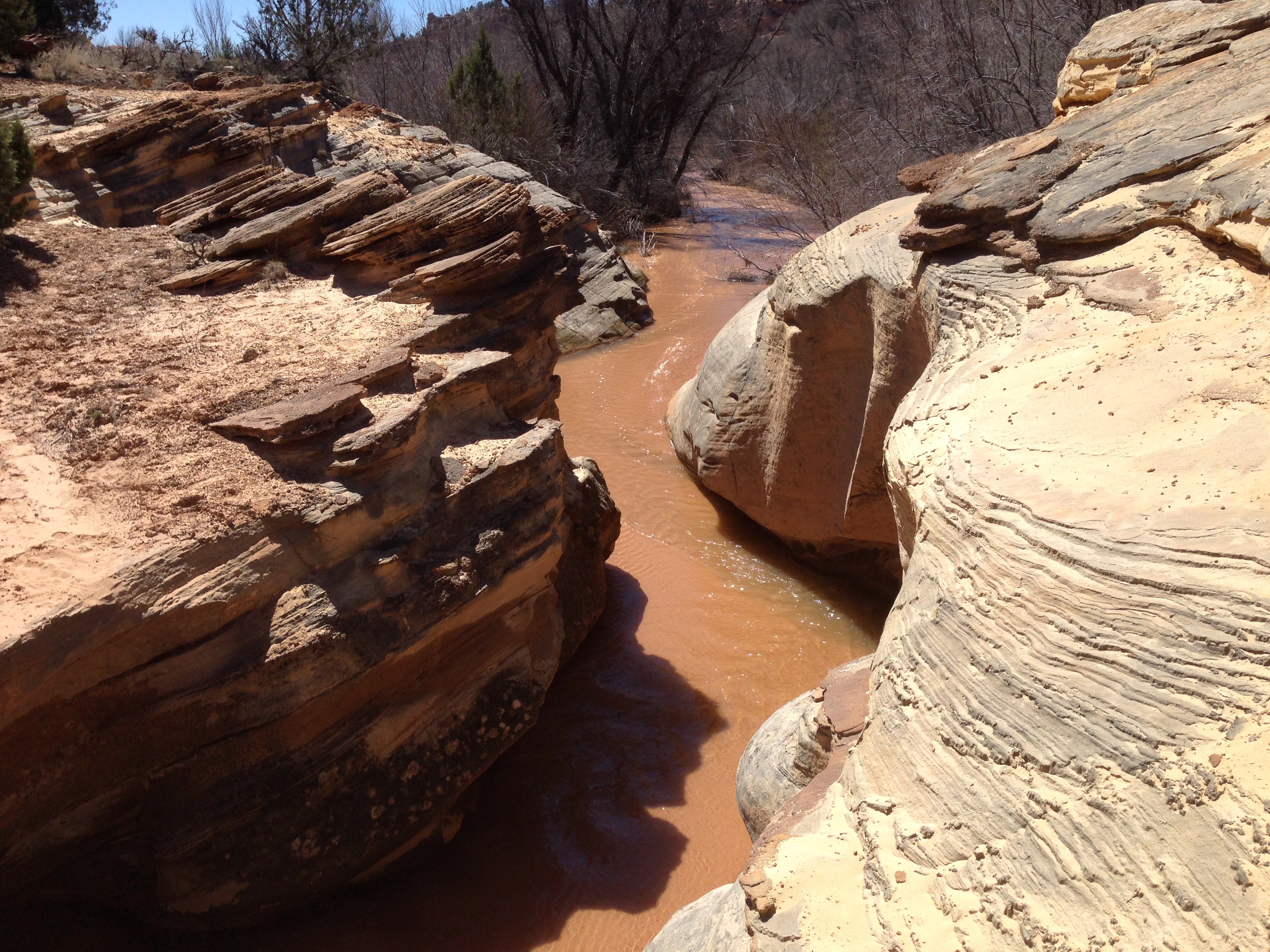
It is also thought that the protection of their water source was the motivation of the ruins that seem defensive in either their structure or their position.  The trail that takes you through the ruins area does go down to the bottom of the canyon and back up the other side.  There is not flowing water in the canyon floor, but water is there, and better described as seeping.

canyonfloorhov4Like many people of southwestern states that came and went from the great Colorado Plateau, it is believed that the last inhabitants left this area in the late 1200s.  They were here, they built homes and villages, and then they disappeared.

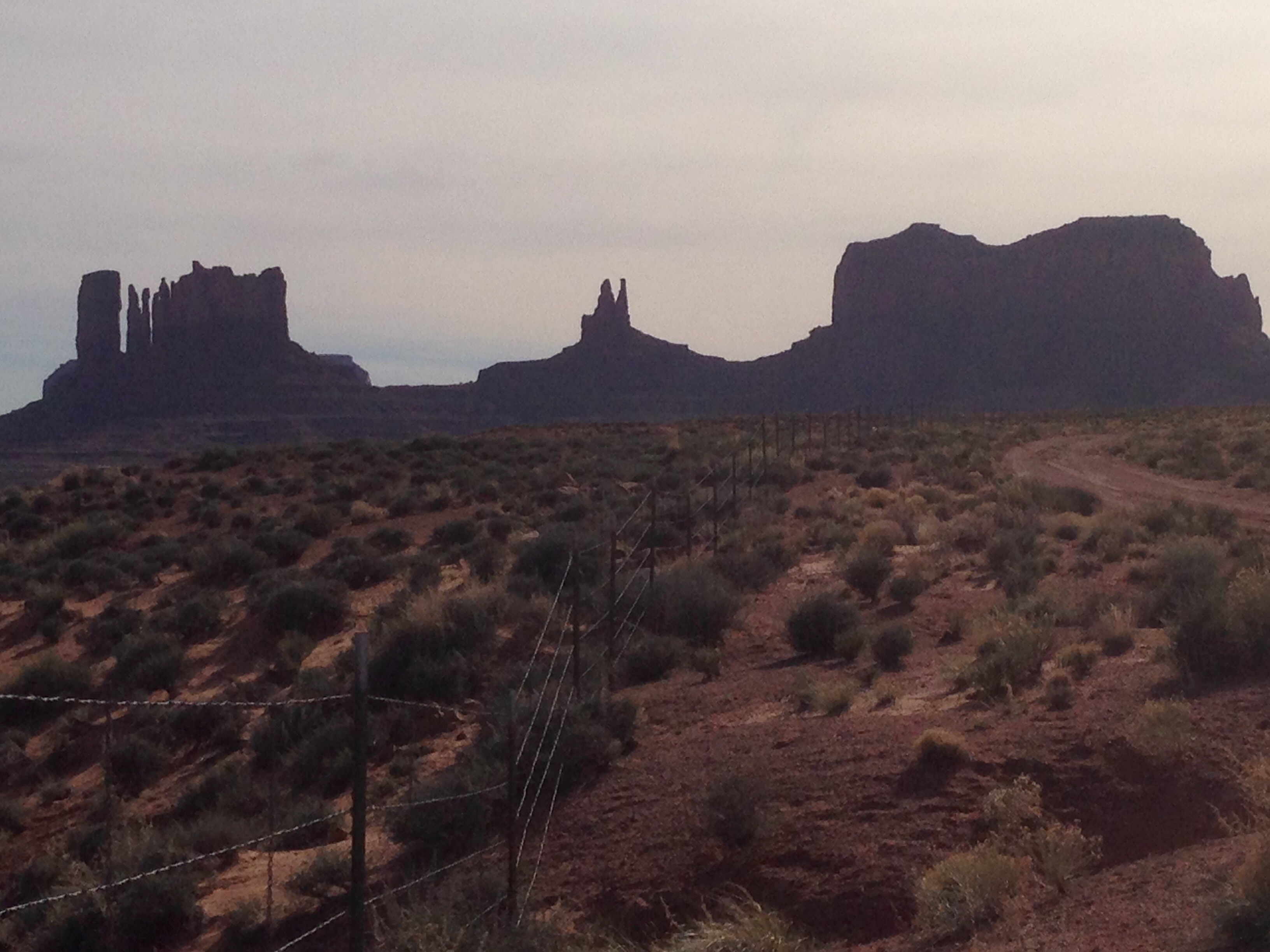
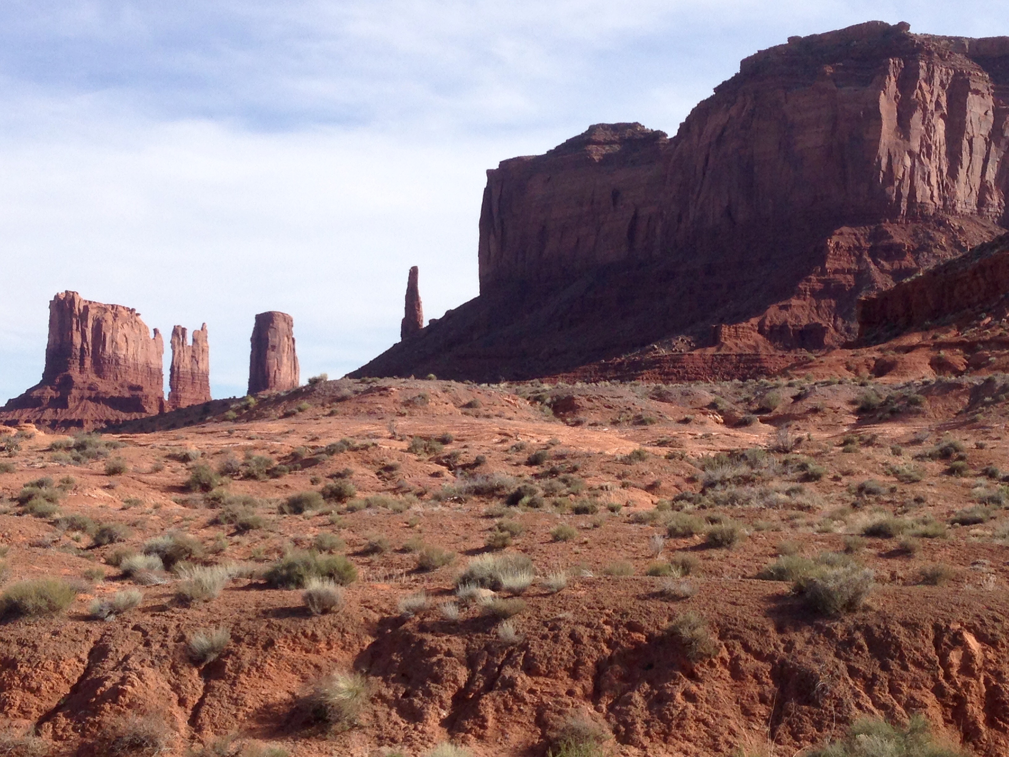
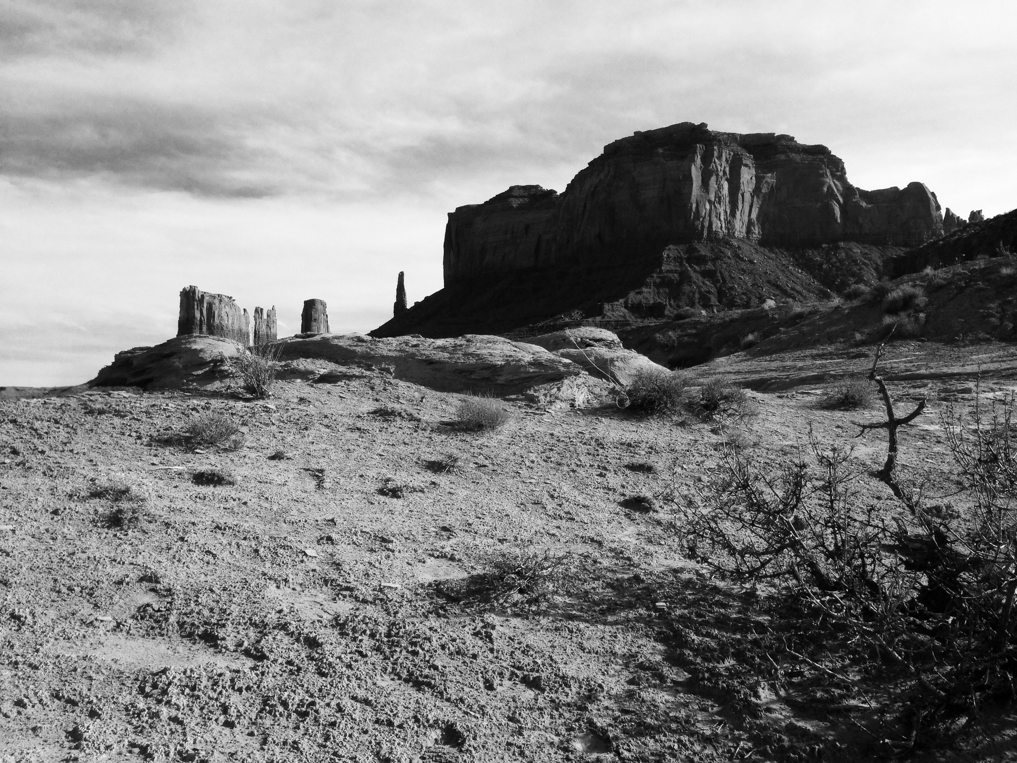
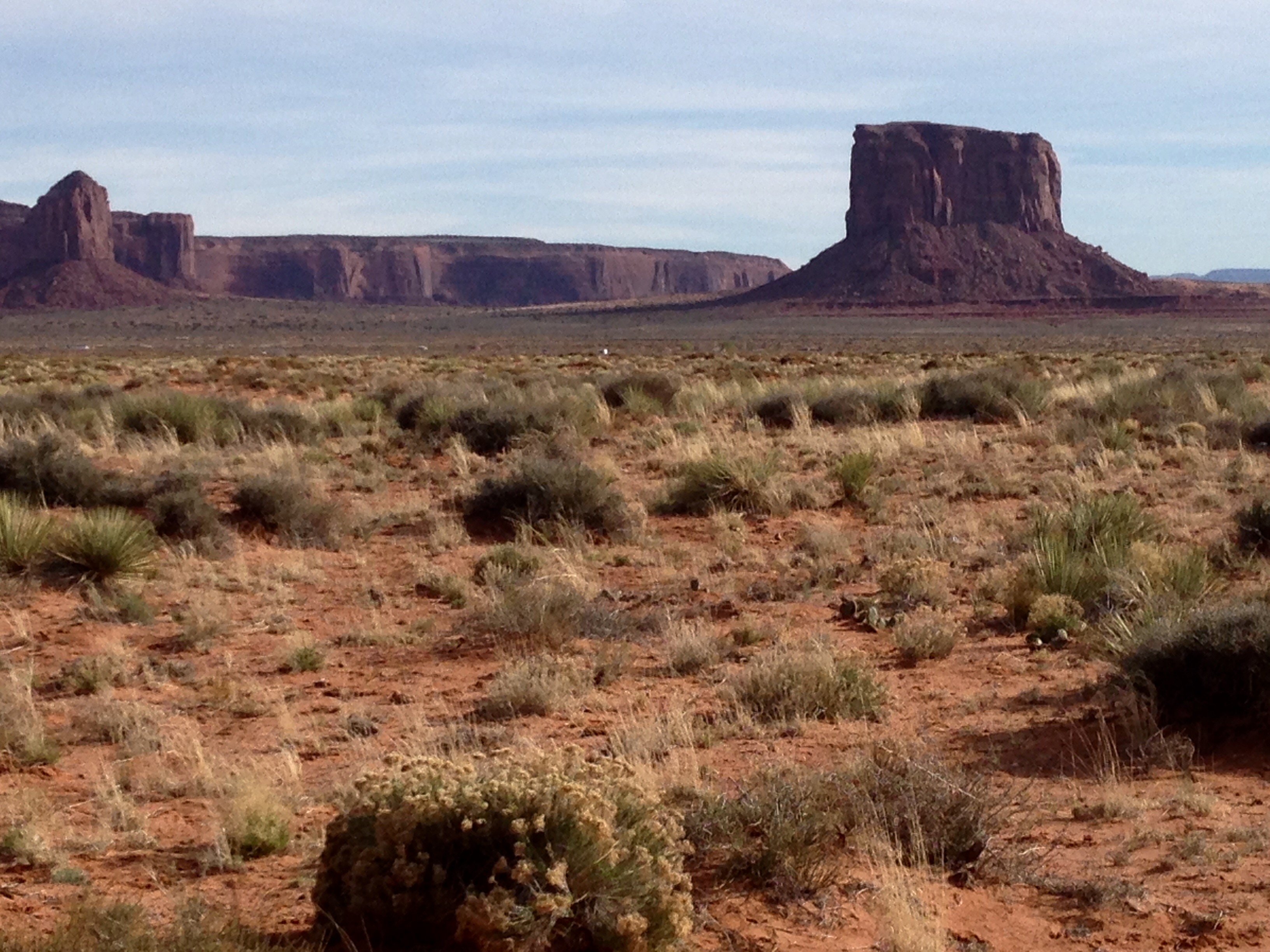
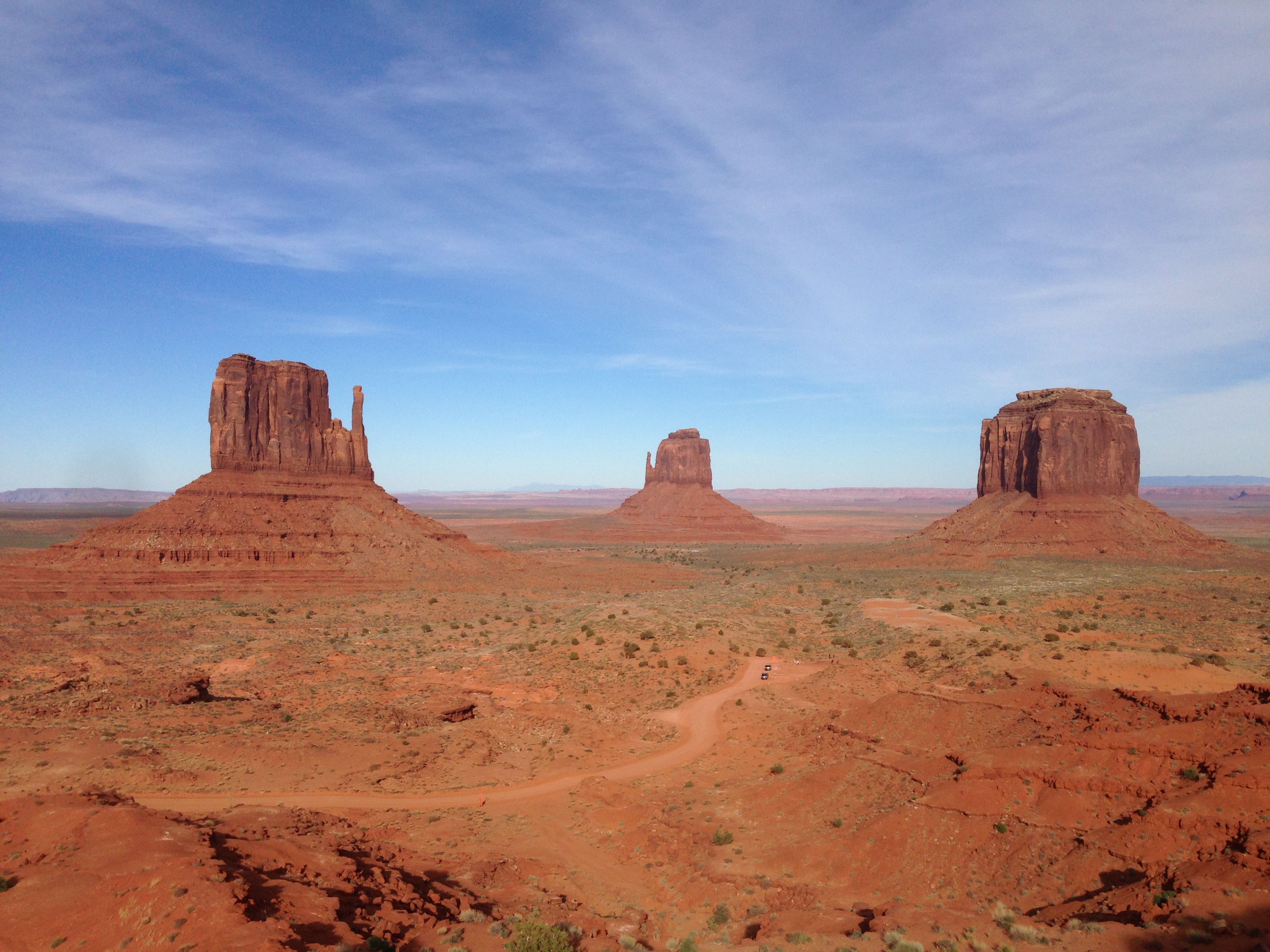
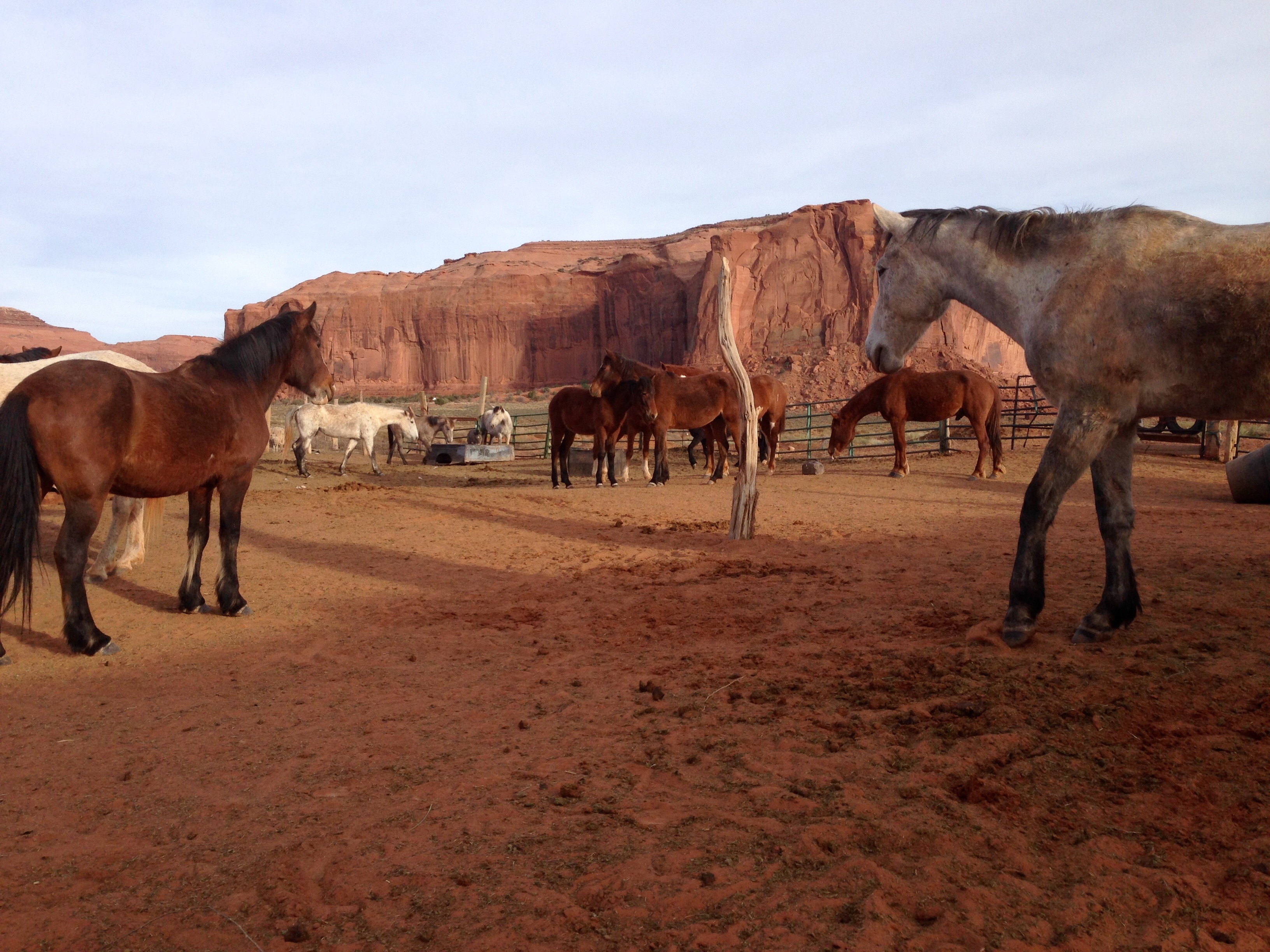
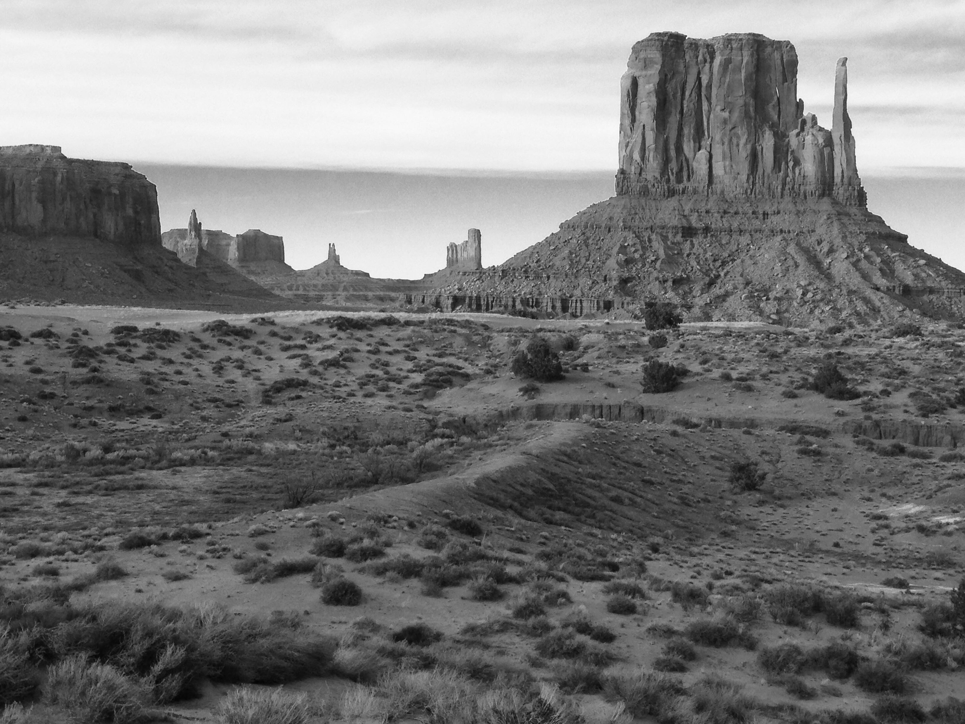
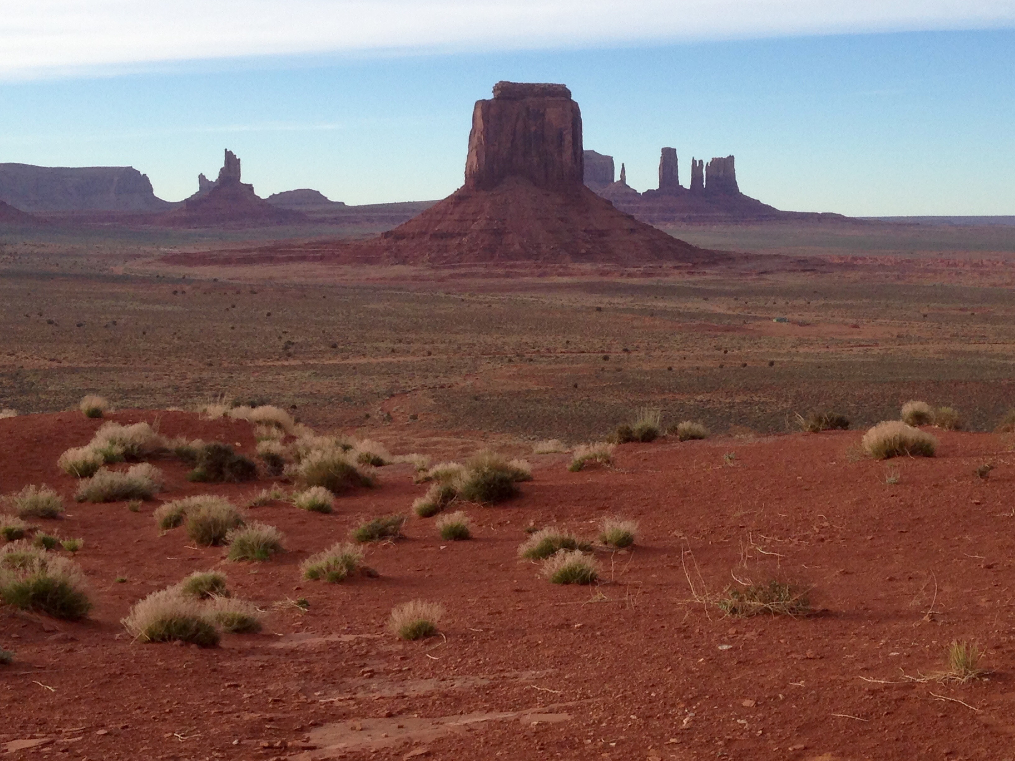
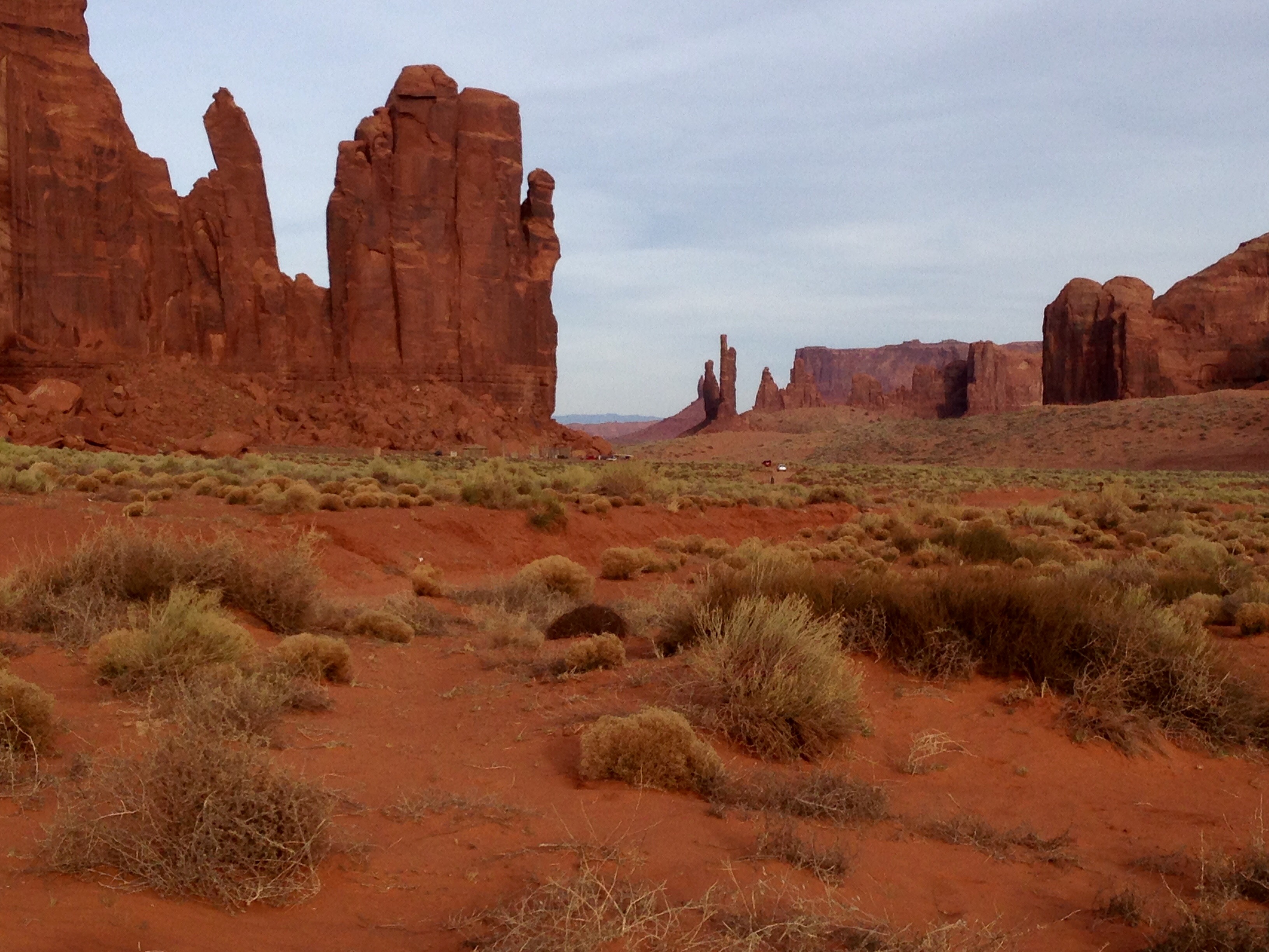
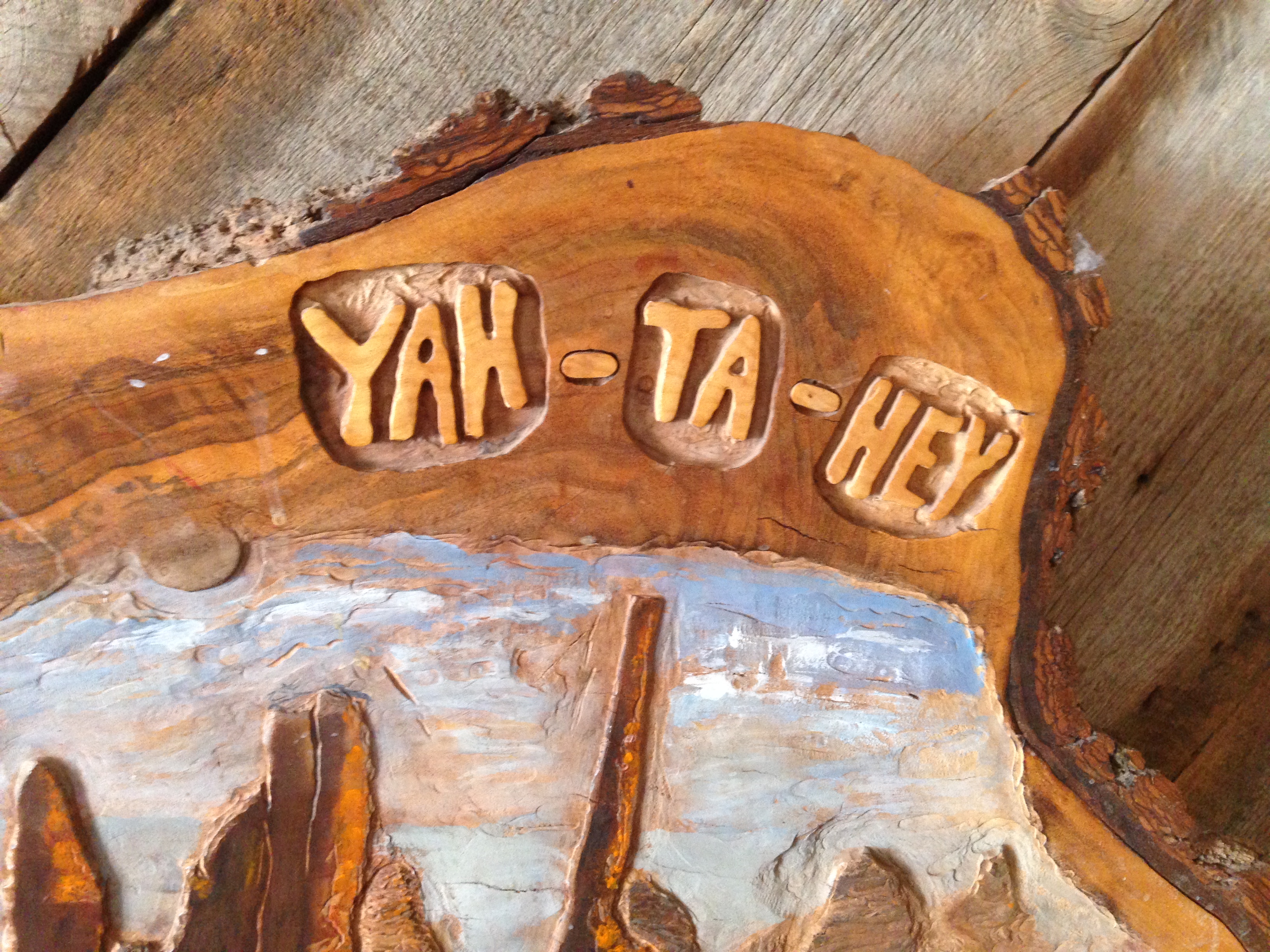
When I left Hovenweep I drove down to the Four Corners Monument and Navajo Tribal Park.  This seems like a place that you go to so you can say you were there.  I didn’t take any photos or even stand at the actual four corners spot.  It was too busy with people doing silly touristy things which was entertaining for a little while.  For my part, I would love to be here when a Navajo ceremony or celebration is taking place, and I had some great fry bread with apple butter.  I’d go back just for that. 🙂

Natural Bridges National Monument, Blanding, Utah

I can’t believe I’ve gotten this far in this blog without mentioning that it is the 100th Anniversary of the establishment of the National Park Service.  You can say what you want about Teddy Roosevelt as a President, but we owe him a great debt of gratitude for his sense of conservation and protection of natural beauty.  He almost single handedly brought the National Parks and Monuments we have today under the protection of the Park Service.  I know I’m glad about that, and I get into all of them free.  What a country.

Today’s Monument is the Natural Bridges.  There are three in close proximity of each other in this park.  I don’t know what distinguishes bridges from arches.  I know what I’ll do, I’ll google it. 🙂

sipapu3

This first one is Sipapu.  This is from the rim of the canyon.  Oops, a little finger action in the shot there in the upper right.


Here it is pulled in a little closer and rendered in mono as well.

sipapu1

sipapu2

My lungs were good for about one trip down to the canyon floor for better shots.  I saved myself for the last one on the trail.


kachina


This one is called Kachina.  It’s hard to tell it’s even a bridge from above, but trust me it is.  There are also some Anasazi cliff dwelling ruins in these canyons but you can’t walk to them like over at Gila in New Mexico.  Like Gila and like Tuzigoot, these cliff ruins were built and occupied in the same time period and then abandoned.  The mystery remains.

owatop


This last bridge is called Owachomo.  This is what it looks like from the rim of the canyon …..


owa1 … and a little closer.

owa3

owa5

And some shots from the area underneath.


owa2

footprints

lava2

lava1

You can just tell that this rock was molten at some point.


coriv2

When I left the Natural Bridges Monument I drove over to the east a ways into the Glen Canyon Recreational Area.  Glen Canyon encompasses all of Lake Powell and stretches up to the northeast and connects with Canyon Lands National Park.  These shots were at a crossing of the Colorado River.

coriv1

The adventure of the day continued.  I started to work my way south towards Monument Valley.  I drove through Monument Valley on my way into Utah but had planned a return in evening light.

dirttrack1

I decided to take some back roads.  Not a road for casual sightseeing.


dirttrack2

I landed in my new favorite bar.  The San Juan River Trading Post in Mexican Hat, Utah.  I wanted to kill some time to be down in Monument Valley as close to the end of daylight as they would allow.

yatahey

The proprietor was a Navajo gentleman who was probably a contemporary of mine or maybe a touch older.  He struggled around with a cane.  There was a polaroid of him on his bulletin board taken with Willam H. Macy.  He didn’t seem like the type that needed frames for his photos with famous people.  There was also one of him with “his cab”.  He played a cab driver in whatever movie was being shot there.  He couldn’t remember the name but said William H. Macy was a real nice guy.

yatahey

Ok, so now here’s the coup de gras.  I know some of you out there have heard me use this greeting.  Yah-ta-hey.  I answer the phone with it sometimes.  He had this hand painted tree trunk section hung up by the door.  He was wondering why I was laughing.  I always thought that this was a Lakota greeting, but he set me straight.  It is a greeting, but it is from the Diné language. (pronounced dee nay)  It’s supposed to have one of those little doohickeys above the e but I can’t figure out how to do that.  Oh wait, I got it!  Holy crap.  Diné is actually the tribal name of the  Navajo.  The conquering Spaniards gave them the name Navajo.

From here I went back down to Monument Valley.  That’ll be the next post.  I am going to try to get back to the San Juan River Trading Post before I leave the area.  Great grilled ham and cheese and a nice local pale ale.


CPNNZOB, Lee’s Ferry, Cliff Dwellers, Marble Canyon

Ok, I promise this is the last of the Cool Places Not Named Zion or Bryce posts.  Really, the CPNNZOB thing overstayed it’s welcome.

So, I went to Mass on Sunday, yes they do allow Catholic Churches in Utah, and I was talking with this man afterward.  I was lamenting the fact that you can’t get down to the north rim of the Grand Canyon until May 15th.  He told me, even still, Highway 89A was one of his favorite drives.  89A loops south out of Kanab and takes you to the road that goes down to the north rim.  The drive takes you up on to the Kanab Plateau and into the The Kaibab National Forest.  It then drops down into a huge valley that runs along the Vermillion Cliffs of the Pariah Plateau.

Leeslanding

At the end of it all is Lee’s Ferry.  It’s not an actual ferry crossing anymore but is now a busy jumping off point for Colorado River excursions, both commercial and private.  I can’t tell you how envious I was feeling of these people as I watched them come and go.

lees3


The Colorado River just downstream from Lee’s Ferry and just upstream from it’s grand entrance into the Grand Canyon.

John D. Lee was a Mormon Zealot who was sent by the church to establish and run a ferry crossing that would be vital to the Mormon Church’s expansion into the Arizona and New Mexico territories.  Along the way he became a dark spot in the Mormon Church’s history.  In 1857 Lee, some fellow Zealots, and some Paiute Indians attacked a wagon train of settlers bound for California.  After laying siege to the circled wagons for two days, Lee walked into the wagon train under a white flag and convinced the settlers to lay down their arms and promised safe passage.  They then executed 120 men, women, and children sparing only 17 children under the age of 6.  What became known as the Mountain Meadow Massacre was a dark chapter in both the Mormon Church and American History.  Brigham Young tried to brush the whole thing away, blaming the Paiutes for the slaughter.  He offered Lee as the sacrificial lamb, excommunicating him from the church and divorcing him from his 16 or so wives.  The whole thing from Lee’s account, to Young’s involvement was Watergate times twenty.  After two trials, a mountain of church political bullshit, and twenty years, Lee was finally shot on the site of the massacre in 1877.  He was the only one to face justice for the atrocity.

That was The Happy Wanderer’s less than objective capsule version of the event.  You can find a whole bunch of other versions, including some interesting rationalizations from some LDS bloggers.  I guess the fact that some men are just plain evil is a little too complicated for them.  What’s that great Diane Keaton line to Jack Nicholson?  “The truth doesn’t have versions, Harry!”  Just search Mountain Meadow Massacre.  Ok, back to the last CPNNZOB.

Along 89A on the way to Lee’s Ferry, is the town of Cliff Dwellers.  Cliff Dwellers isn’t so much a town as it is a river float outfitters.  It boasts a Chevron station, a great little restaurant right behind it, and a whole bunch of boats, rafts, and gear.  Right by the town is this interesting area.

soapcreek5

soapcreek1

soapcreek4

soapcreek3soapcreek2

marblecanyon

And heading into Lee’s Ferry is Marble Canyon.


Lees2

CPNNZOB, The Cedar Breaks (almost)

The Cedar Breaks is an area that is similar to Bryce Canyon.  It’s just situated differently in that it’s essentially right in the middle of a mountain range.  They don’t keep the road open in the winter time, and I knew that, but I also knew the drive up there would beautiful.  It didn’t disappoint.

Up on top of Cedar Mountain it opens up to a winter activity dream area.  There are forested trails for cross country skiing or snowshoeing, and plenty of open area for snowmobilers to careen around like maniacs.  I just love the whine those things make.

cedarmtn2

For the first time ever in my life, and very likely the last, I sorta wished I had a snowmobile to ride up to The Breaks on.  The urge passed quickly though.


cedarmtn3

cedarmtn1

duckcreek

Duck Creek had a summertime campground nearby with some trails, so it was a good place for a walk.  In spite of the snow pack it was calm and mid forties.  Another great day for going from Spring to Winter and back to Spring at the end of the day.  It was about 70 when I returned to Kanab.

CPNNZOB, Red Canyon

redcanyon4As you turn east out of the Sevier River Valley, (Silent Stories), and begin to climb up toward Bryce Canyon National Park, you pass through Red Canyon.  Look closely at this picture.  Do you see the bike path?  Red Canyon has a bike path running through it that goes all the way up to the campground area at the entrance to The Park.  I was hoping to ride a little on my return, but the wind was strong and the windchill about 40.  No thank you.

redcanyon5

redcanyon1

redcanyon2

This is a crummy picture ’cause it’s zoomed all the way and the camera holder was wind impaired.  But I wanted to include it because these are called Hoodoos.  They are rocks that have been eroded into columns and sometimes look like they are very precarious.


CPNNZOB, Angel Canyon

angelcanyon

So the next few little posts are going to be some of the Cool Places Not Named Zion or Bryce.  This first one, as you might expect, is about Angel Canyon.


angelcanyon2

Angel Canyon is right near Kanab and it’s biggest claim to fame, besides being several times a movie site, is it’s the home of Best Friends Animal Sanctuary.  Best Friends is the largest no-kill animal rescue and sanctuary in the country.  It is shelter to dogs, cats, horses, pigs, rabbits, and a few other miscellaneous species.  Last year they had over 29,000 visitors and over 8,000 of them spent time volunteering.  The family that was camped next to me spent an afternoon volunteering and came back with a two year old dog that they “checked out” for the night.  This is a dog that is available for adoption.  Best Friends encourages people to do this to give the dogs a break from the dog compound, and get in on some family fun.  The next day the dog is returned and if you want to do it again they encourage you to take a different dog to spread the fun around. 🙂

bestfriends

Over 5500 animals are buried in two different burial sites.  The only ones that were euthanized were put down by their owners who asked to put the remains in the Best Friends Cemetery.

I mentioned movie sets.  Remember the cabin that they “holed up in” in The Outlaw Josie Wales?  It’s on the grounds of Best Friends but it’s location is a closely held secret.  They don’t want people coming here just for that.

If you are ever in this area and are so inclined, this is a great place to spend some time.

For Those of You ………………

……….. following along in Jesus Calling.  No, that sounds dumb.  For those of you who are also reading Jesus Calling, I know there are a few of you out there, here’s a couple of lines from the last few days that landed with me in a meaningful way.

From April 3rd, Jesus speaks of, “…. My removal of debris and clutter from your heart”.  I won’t, but I could write a book about this line.  It was a long journey for me from dark places of guilt to Grace.

And on April 4th, this line; “I see you trying to find Me.”  We are never off the radar.  Does that make us feel wary or relieved? 🙂

Bryce Canyon

Bryce Canyon isn’t so much a canyon at all, but a long high ridge line with one whole side worn away.  Many of the viewing areas and trails are 6500 feet of elevation or higher so it is often cold and windy.

brycevista7

brycevista6

brycevista5

brycevista3

bridge2

Not surprising, these two shots are of a formation called The Bridge.


bridge1

brycevista2

All of the previous shots were taken from very accessible viewing areas.  The rest of these I had to work a little harder for.  As you can see, there was quite a bit of snow in the upper parts of the park.

brycesub1

brycesub6

brycesub3

brycesub2

brycesub4


Silent Stories

So one might ask, if this is a silent story then why are you writing?  I don’t know, it’s just what I do.  If I mentioned this in a previous post, some of which feel like are way in the past, then I apologize for repeating myself.

ss6

Somewhere in a box I have quite a few pictures that are similar to these.  All over the mountain west are abandoned homesteads.  I stopped, and wandered, and shot many of them in my travels during the 80s.  They never failed to fascinate me in that, “if these walls could talk” sort of way.  In my head I started to think of all of them as silent stories.

On my first trip up to Bryce Canyon I saw this place back from the road in the Sevier River Valley.  I stopped, and with my little Gorilla tripod on the hood, I seriously zoomed this first shot.  That day I was never as close as this looks.  While I had the iPhone on the tripod I thought about taking my third ever selfie, but thankfully the moment passed unviolated. 🙂

ss5

The day I drove up to the Cedar Breaks, (more on that later), I returned to this site and wandered up an old overgrown drive.  I was very thankful it was not posted.  Although I sometimes fail, I try not to be one of those people who think that signs are everyone else.

ss3

ss7

The evidence suggests that this was once a small cattle ranch.  Whoever lived here had a spectacular view of the valley.  The tire was one of those narrow ones from early vehicles.

ss4

ss2

Exploring these old homesteads has always made me feel like part historian, part speculator, and part trespasser.  But I’ll always continue to take a closer look where I can.  It’s what I do.