Greetings from my dining room table

FullSizeRender

Yup, I’m back in MN safe and sound.  Well safe anyway.  And sitting at the table where this all started.  I went to morning Mass this morning to give thanks.  Not only for safe journeys, but a very trouble free trip as well.

I don’t know how many of you are still out there but the answer to the question, “what about the blog?”, is I don’t know.  I’ll certainly have other travels, and will plan on chronicling them, but what to do in the meantime, if anything, I just don’t know.

So for now, I want to thank everyone again for following along and giving me such encouragement.  It is a blessing beyond description.

love you all,

e


Great Sand Dunes National Park, San Luis Valley, CO

dunes1As you approach the Great Sand Dunes from the south you can tell that they are pushed up against the mountains.  Those are the Sangre de Christo Mountains in the background.  On Saturday when I went up to Westcliffe I was on the other side of them in the next valley to the east.

dunes2

It’s hard to envision how large the dune field is without being there but I learned, as large as it is, the dune field is about 11% of an ecosystem that includes the mountains, the dunes, and wetlands, and the water that flows through them.

Medanocreek

I did not opt for the wet feet hike over to the dunes.  This is Medano Creek.  It and Sand Creek flow down out of the Sangre de Christos on each side of the dune field eventually dissipating into an aquifer and emerging on the surface once again down valley from the dune fields as a giant wetlands.  Geologists agree that the sand originally washed down out of the San Juan Mountains, which are across the valley, and were pushed up against the Sangre de Christo Mountains by prevailing SE winds.  They also agree that the dune fields are not appreciably growing in volume but are recycled and reshaped by wind and water.

ludlow

Yesterday was my last day trip.  Although I’m anxious to see my kids it was a melancholy day.  This morning, it’s one more cup of coffee, and then pack up and wander out onto the plains.

ludlowmono

Sunday, April 24, Lake Trinidad State Park, Trinidad, CO

I feel bad for this church here in Trinidad, Most Holy Trinity. I got to the church with time to spare only to find an empty block and a sign on the church door. Church Closed. All Masses will be held at Sabastianni Gym.

Their ceiling and roof condition make the church uninhabitable. And in order to affect the necessary repairs, foundational and structural work is required. This parish is in a real fix. There is hope for some grant money from the State Historical Fund. They need money and prayers.

Mass in the Gym was fine.

Ok, big gear change.

lastsite

I’m most likely am at my last campsite. At least it’s the last of the sites with several nights stay. Tomorrow I’m going up to see The Great Sand Dunes National Park near Alamosa. It’s about an hour and a half away but will be worth the trip. And I’ll be staring at mountains all day. Which is important because the next day those mountains will be in my rearview and quickly fade. I’ll be heading out on to the plains of Kansas, east, then northeast, then north.

I’m feeling nervous about being home. Mostly I’m feeling nervous about suddenly being in one place. My campsite stays have mostly ranged from 2 to 6 days. That’s a lot of motion over three and a half months coming to a sudden stop.

To be fair, getting home means questions to be answered. But I feel ok about what they are and my discernment of that. I’ve been exploring constantly for several months. I need to redefine exploring. Simple right? If that sounds like a dodge I’m sorry. That’s all you get for now.

stonewallwestonwestcgate

buffss

Saturday I took some back roads up to Westcliffe. Why Westcliffe? Because I knew if I drove up that valley I’d have mountains on all sides of me. (see previous mountain lament)

It was a good relaxing day of truck exploring with a nice burger and beer at The Rode House. Of course it was called The Rode House. And it is Rode not Road. I didn’t ask.

checkdams

Ok, so this last picture requires some splainin’.  This is near the historic mining town of Cokedale, and these are coal ovens.  The impurities were burned off the coal prior to being shipped to a steel plant in Pueblo.  Rail cars took mined coal onto these long terraces of ovens, burned off non coal stuff, and hauled it out.  There are massive piles in this area of whatever came out of those ovens.  Spooky.

Friday, April 22nd, Taos to Trinidad

On Friday I had a very familiar and favorite drive, the road between Taos and Raton, NM.  Trinidad, CO is right over the ridge line, and the CO/NM border, from Raton.

A long steady climb up Taos Canyon to the east takes you into a gigantic mountain valley with Angel Fire Ski Area at one end and Eagle Nest, NM at the other.

ss3ss4ss1ss2

Besides numerous short stops to just get out of the truck and look and listen, I made two longer stops, one intentional the other impromptu.  Both are different kinds of silent stories.

When I was traveling through here regularly I remember that there were already signs about a Viet Nam Memorial.  Turns out my memory was good (this time), but what is here today is very different from what it was back then.

In 1982, a local Dr. built a chapel on this site as a memorial to his son and 12 other servicemen, and one service woman, who all died in the same battle in Viet Nam in May of 1968.  Over the years, with the Doc’s passing, the family turned the site over to the DAV with blessings for a new plan for the site.

heloplaquechapel

The new site flows through a terrace area, down through and amphitheater, and to a chapel that kinda soars both inside and out.  The whole site overlooks the valley.  This was an emotional stop.

Angel Fire is one of the towns that went from ski area to town.  The towns of Eagle Nest and Cimarron look just like they did 30 years ago.  Maybe a few more people live up here now, but not many more.  A great day on the road.  Only a handful left now.

One More Taos

I was blessed with one good bike riding day in Taos before I left.  I shot some pictures, most of which didn’t fascinate me much.  But it was the first day of hot sun, and no wind.

The first thing I noticed about Taos while riding into town was it is overrun with prairie dogs.  Yup, I know.  I queried the girls at the coffee shop.  And, touched one of the town nerves.  Long story, short, the town is polarized by prairie dog huggers and the, … “they’re rodents!  No, they are not nearly extinct, go to South Dakota!”, crowd.

shops

The second thing about Taos is alleys are not actual alleys.  They are retail strolls loaded with creative ways to make a retail space out of almost nothing.  You can see this in Taos, ……

taoshorses


But you can see this right in town as well.


kithome


And, the obligatory shot of Kit Carson’s House.  It’s funny reading the stuff about Kit Carson down here in NM.  SE Colorado and western Kansas are full of Kit Carson stuff as well.  Each place emphasizes the lore of Kit Carson in that area.  I saw no mention at all here about The Pony Express for example.

Trinidad, CO is next, then home.

Taos Mountain Roads

My time in Taos has been sublime.  If I’m repeating myself I apologize.  I was in this area routinely in the 80s, but in to visit accounts, and then on to somewhere else.  Never to just explore.  The day I went to Bandelier I took the old Sante Fe road down to Espnola.  I went to the Picuris Pueblo.  You can’t do photos there but I saw the Buffs on the road in.

ourladybuffsmoravalley


I explored a high mountain valley at 7000 ft. that took me through the towns of Holman, Cleveland, and Mora, NM.  I took pictures of stuff that seemed interesting to me.  These towns are full of silent stories but there are people who live up here and forge a life.

frontdoormainstreetfrackingalphonsosbeatitudessssanantoniosipapuvalley

The Taos Pueblo

There are many traditional pueblos in the mountains and valleys that surround Taos, Espanola, and Santa Fe.  Some are on historic registries with people still living in traditional ways.  The Taos Pueblo is one of the more famous and is on the National Historic Register.  It is a living museum.  It has ceremonial kivas under it that no non-tribal member has ever seen.

redwillowThere are “about a dozen or so” people who still live in the pueblo in the old ways.  They are the Red Willow Tribe.  There is no electricity and this is the only running water, Red Willow Creek.  It has been the water source for this pueblo for hundreds of years and it joins the Rio Grande not far from here.


pueb4pueb1pueb2ovenmonopueb3stjerome

This is St. Jerome’s Church.  It is not a diocesan church but is completely supported by the tribe.  The Pastor from Our Lady of Guadalupe in Taos comes and does Mass early Sunday mornings.  This building has been moved and restored by the tribe  so it’s much older than it looks.

Thursday, April 21st, Taos, NM

Having just returned from a shower, no word on how long it’s been, I found myself thinking about one of my new favorite things.  Sleeping in the clothes I wore that day, and then getting up and keeping them on for another day.  I’ll be home about a week from today.  I’m going to need a lot of rehab.  Maybe I’ll find a place for a haircut today.  Nah.

I am well and hope you all are too.


Bandelier National Monument, Los Alamos, NM

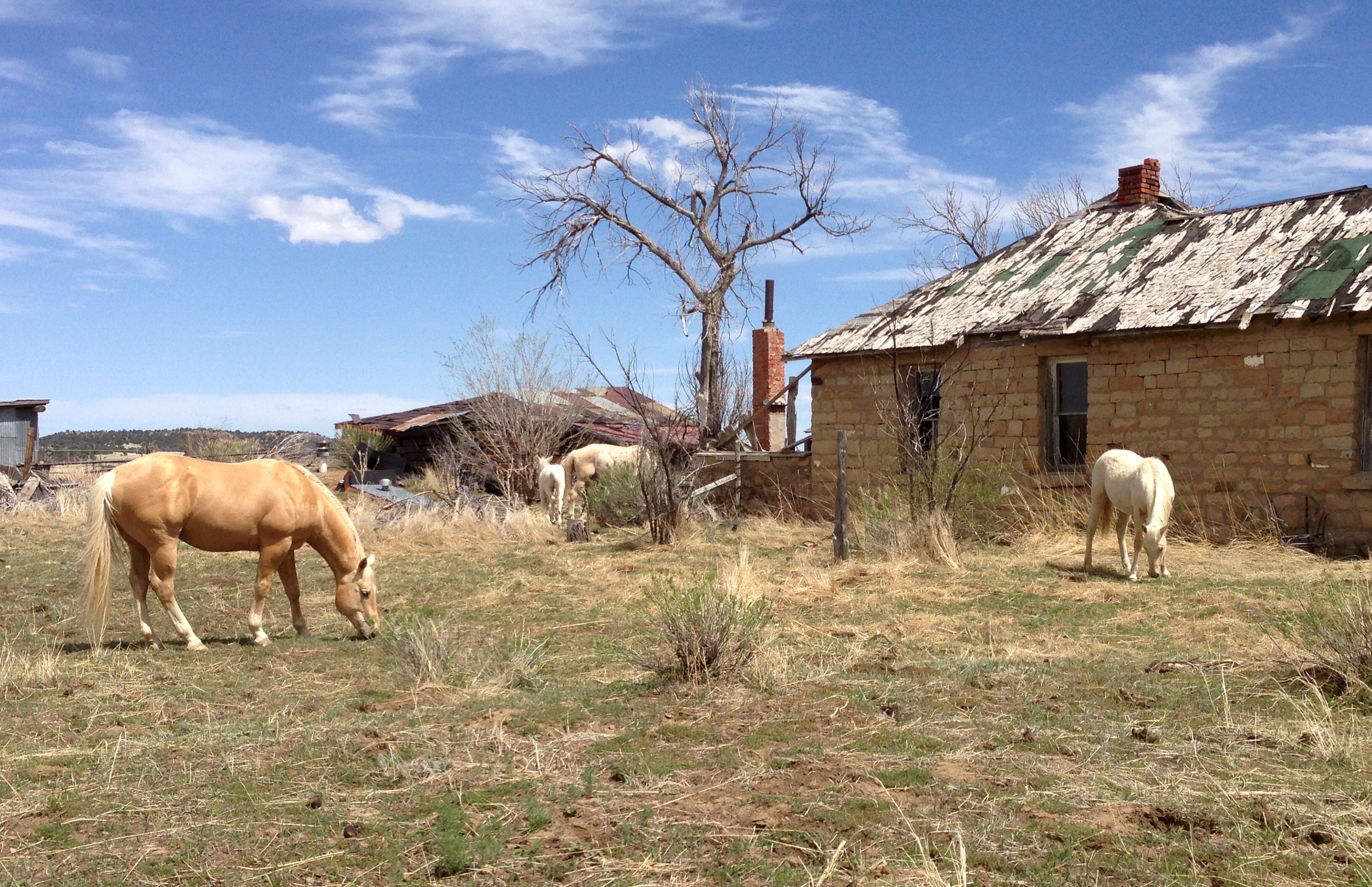
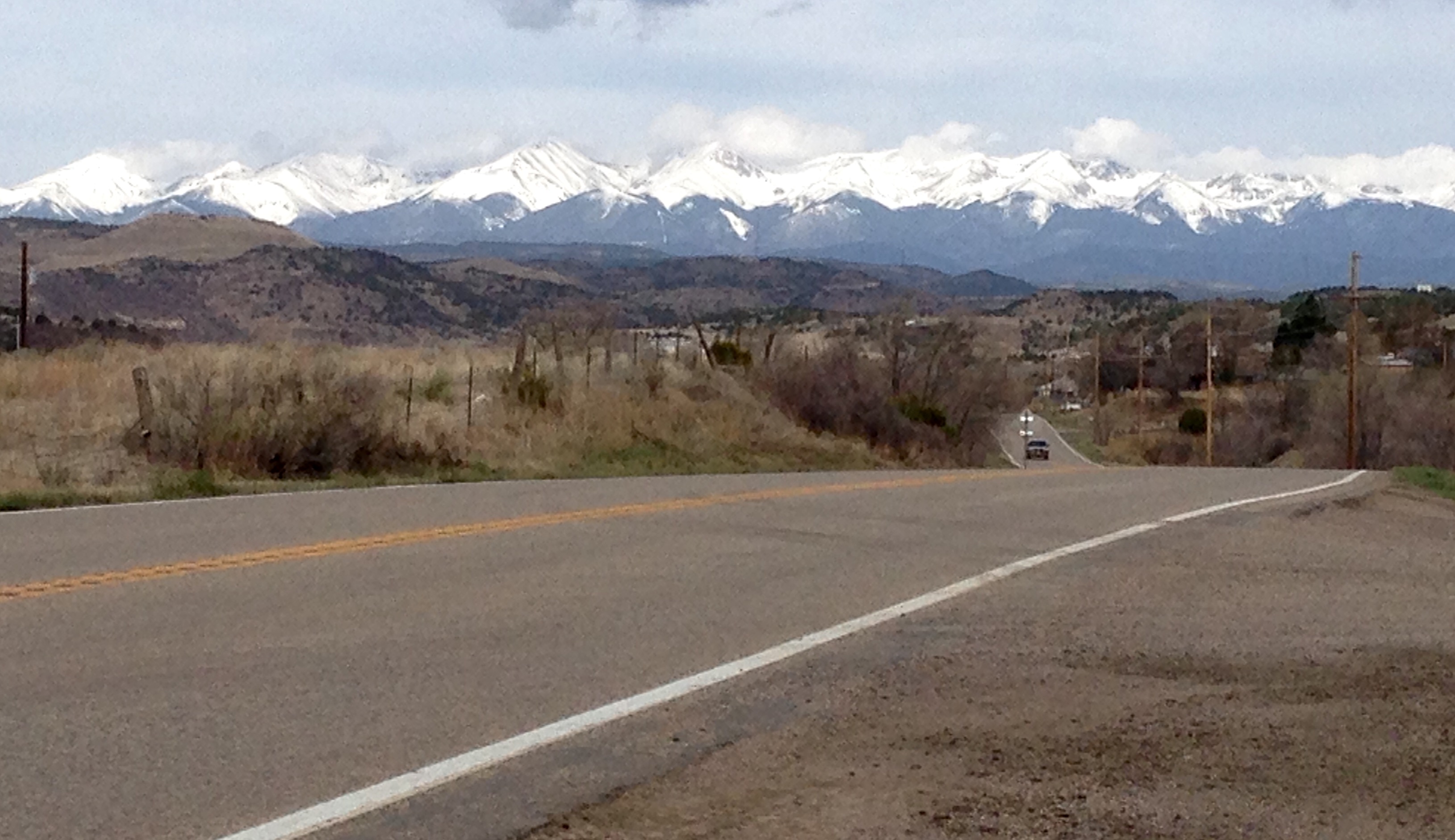
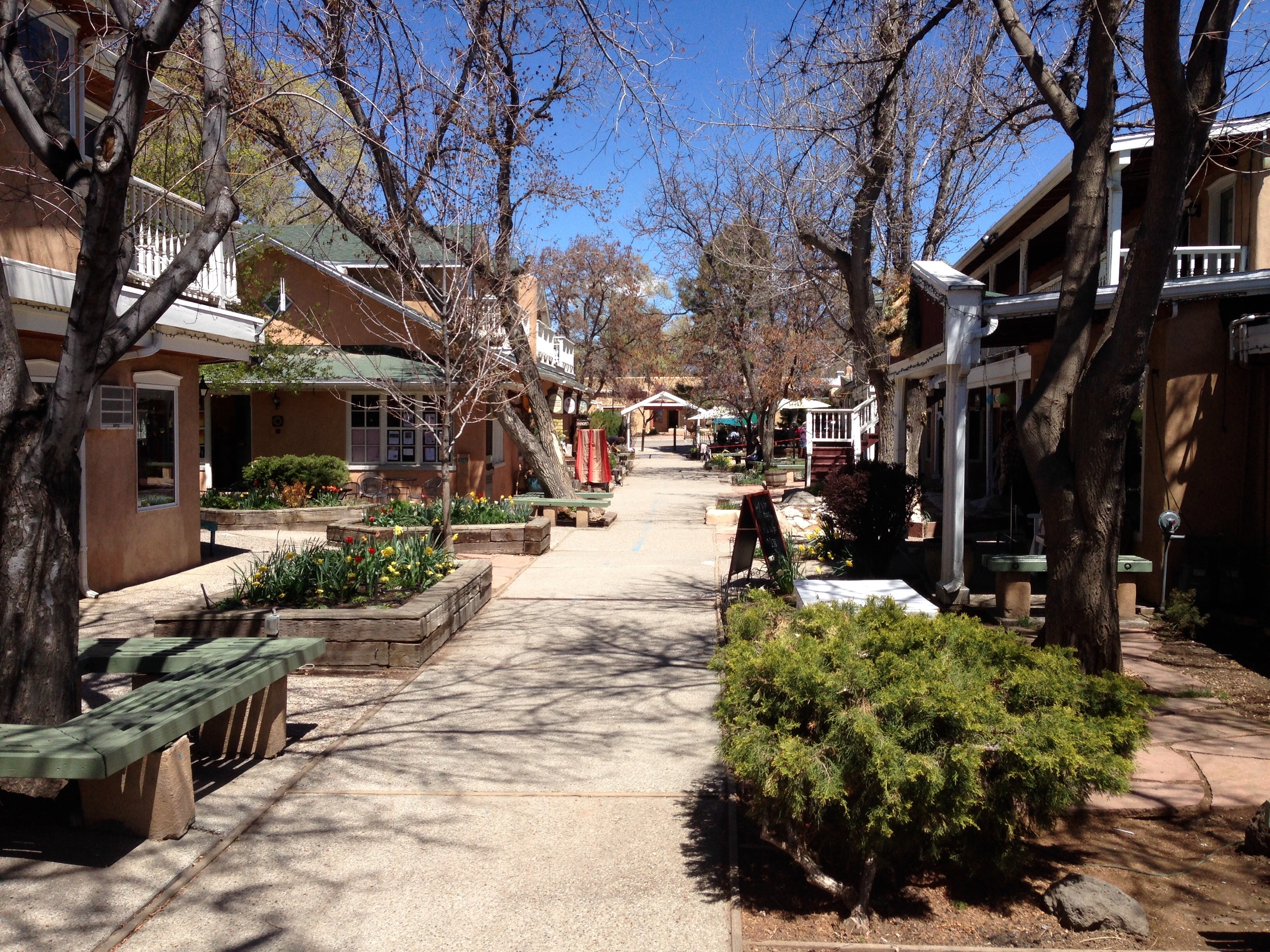
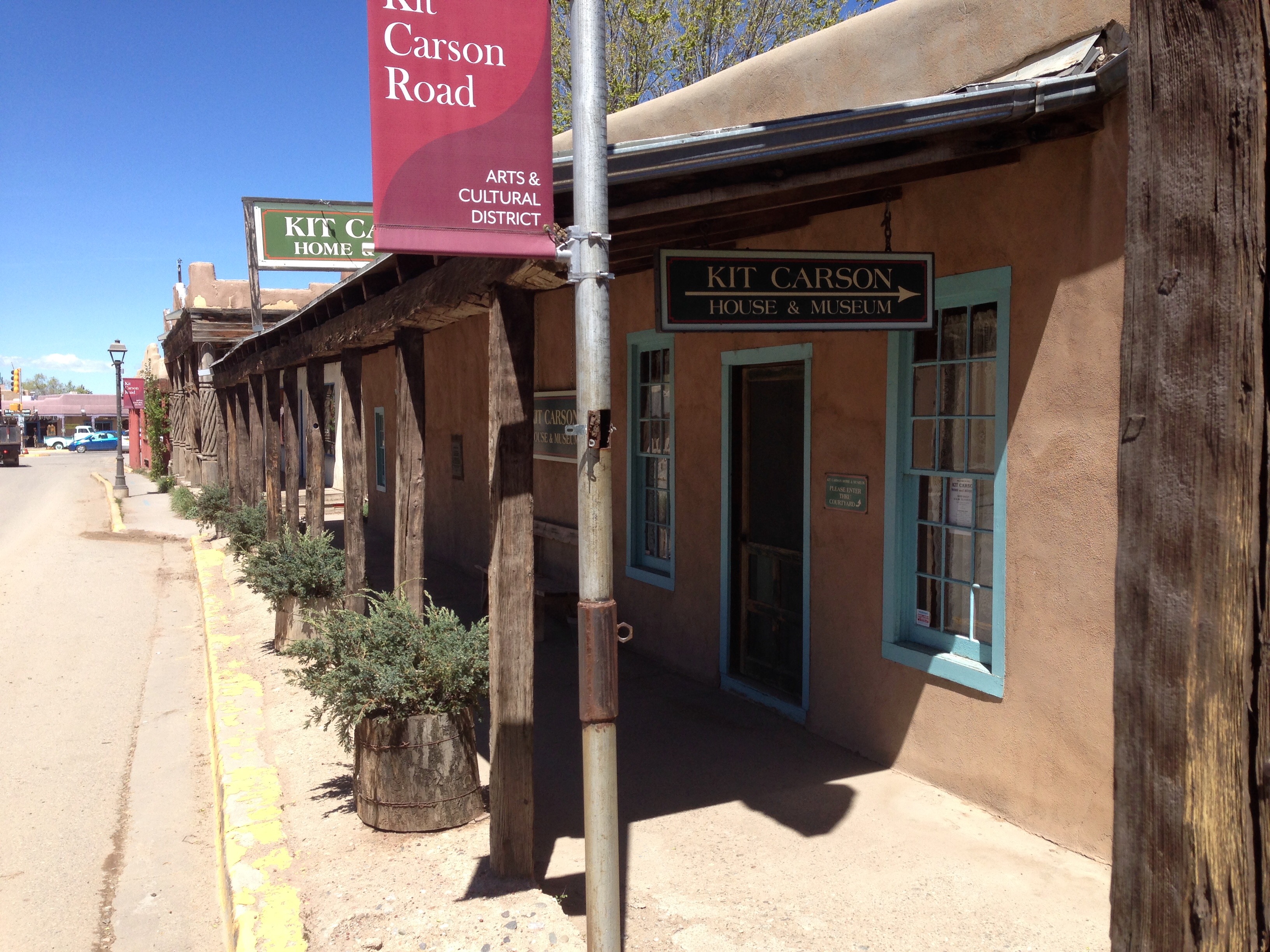
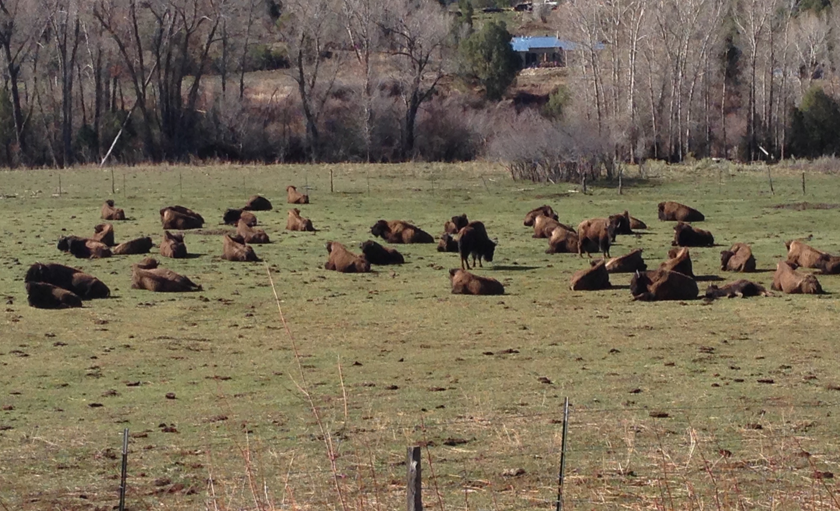
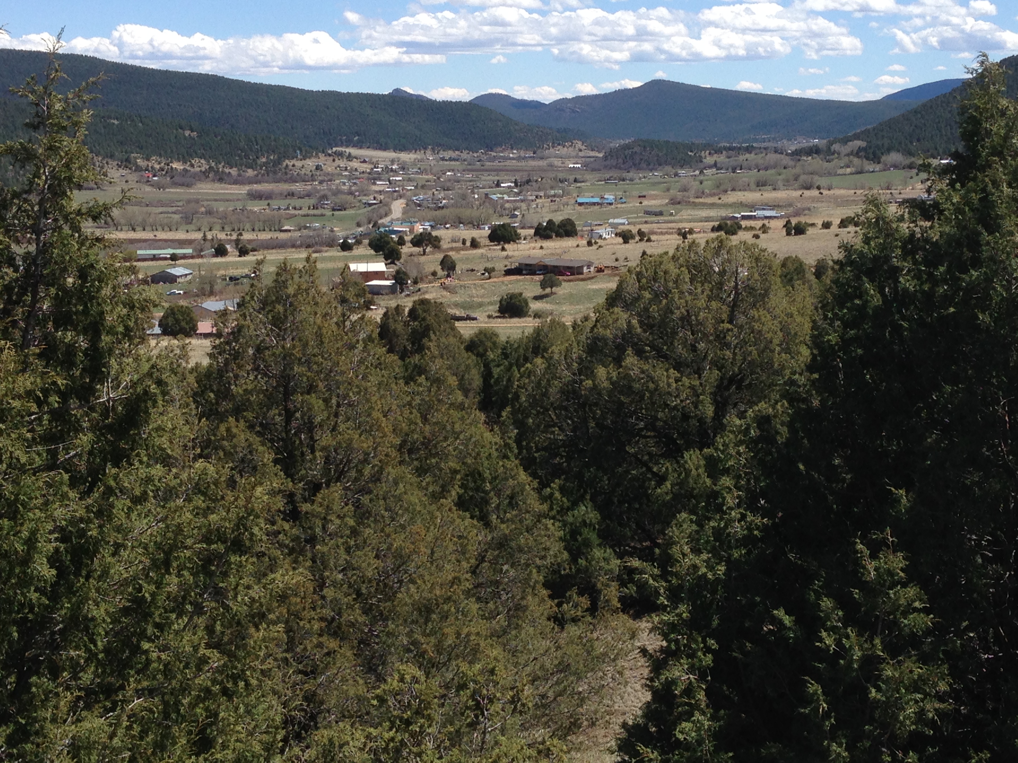
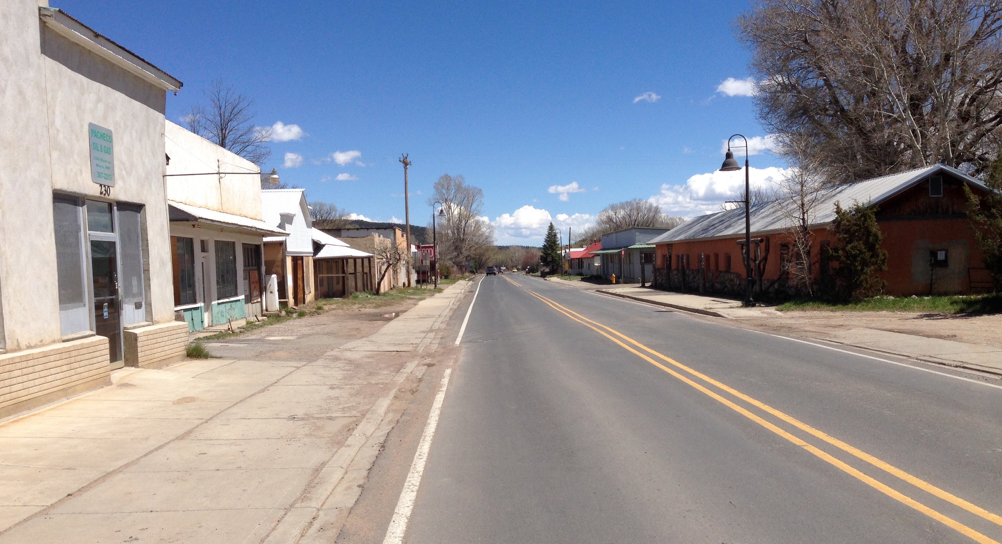
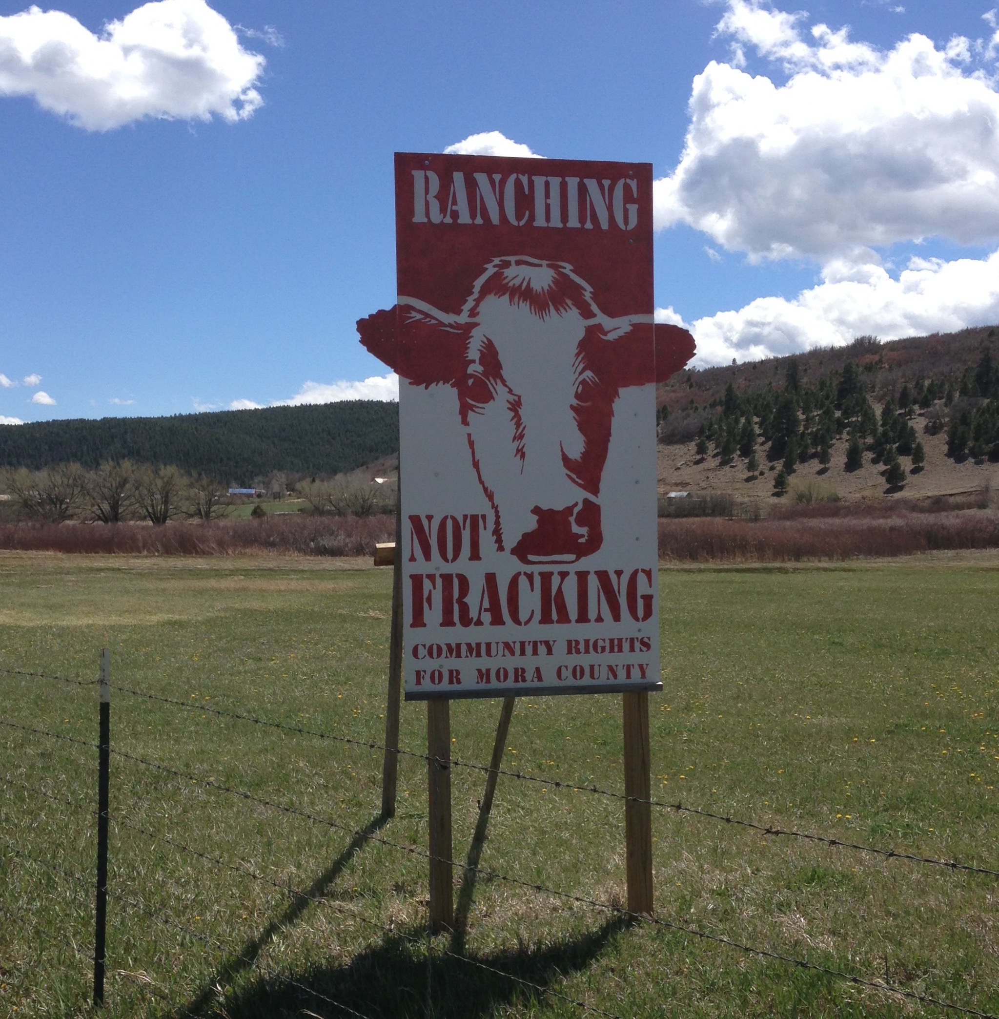
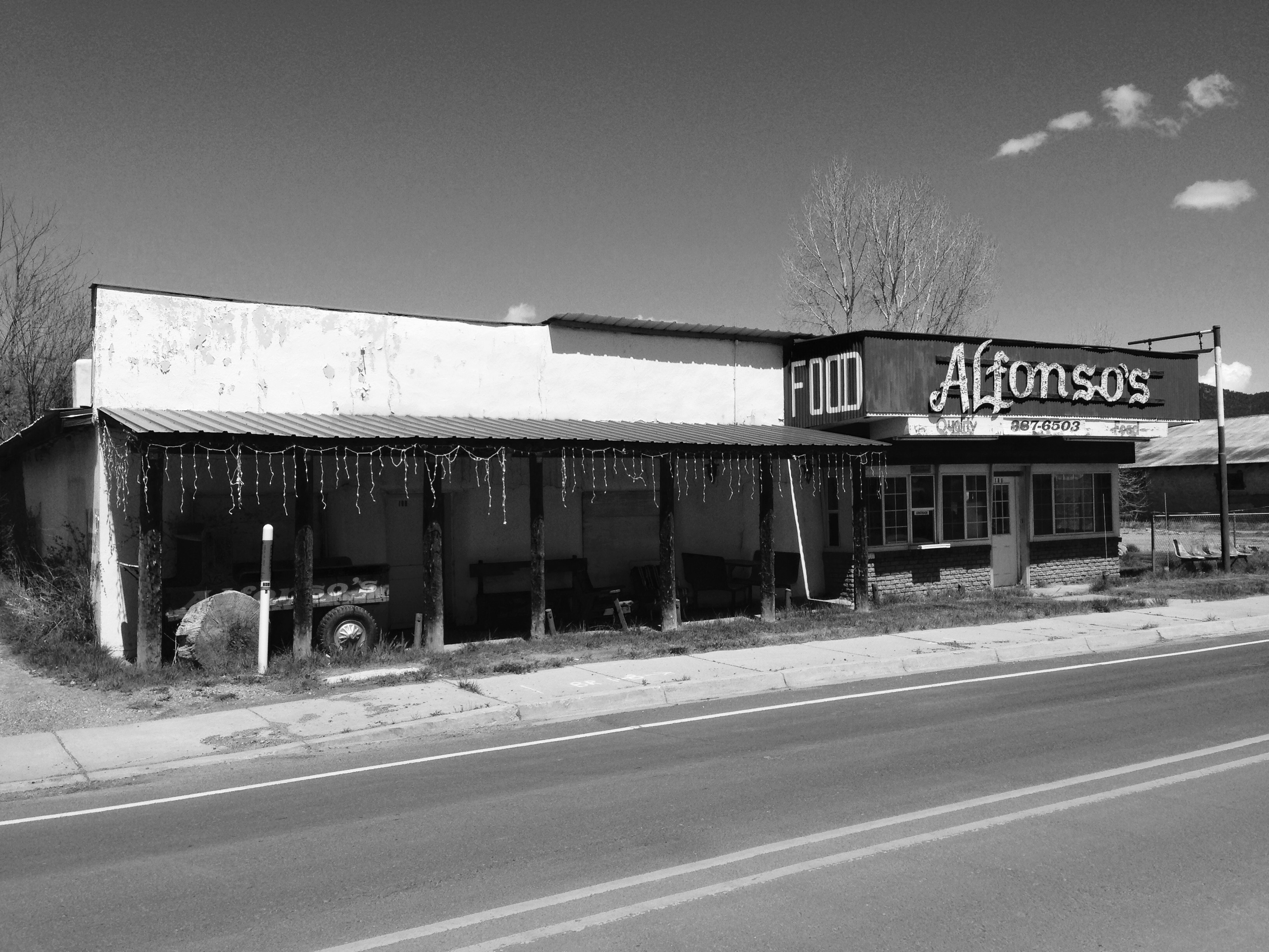
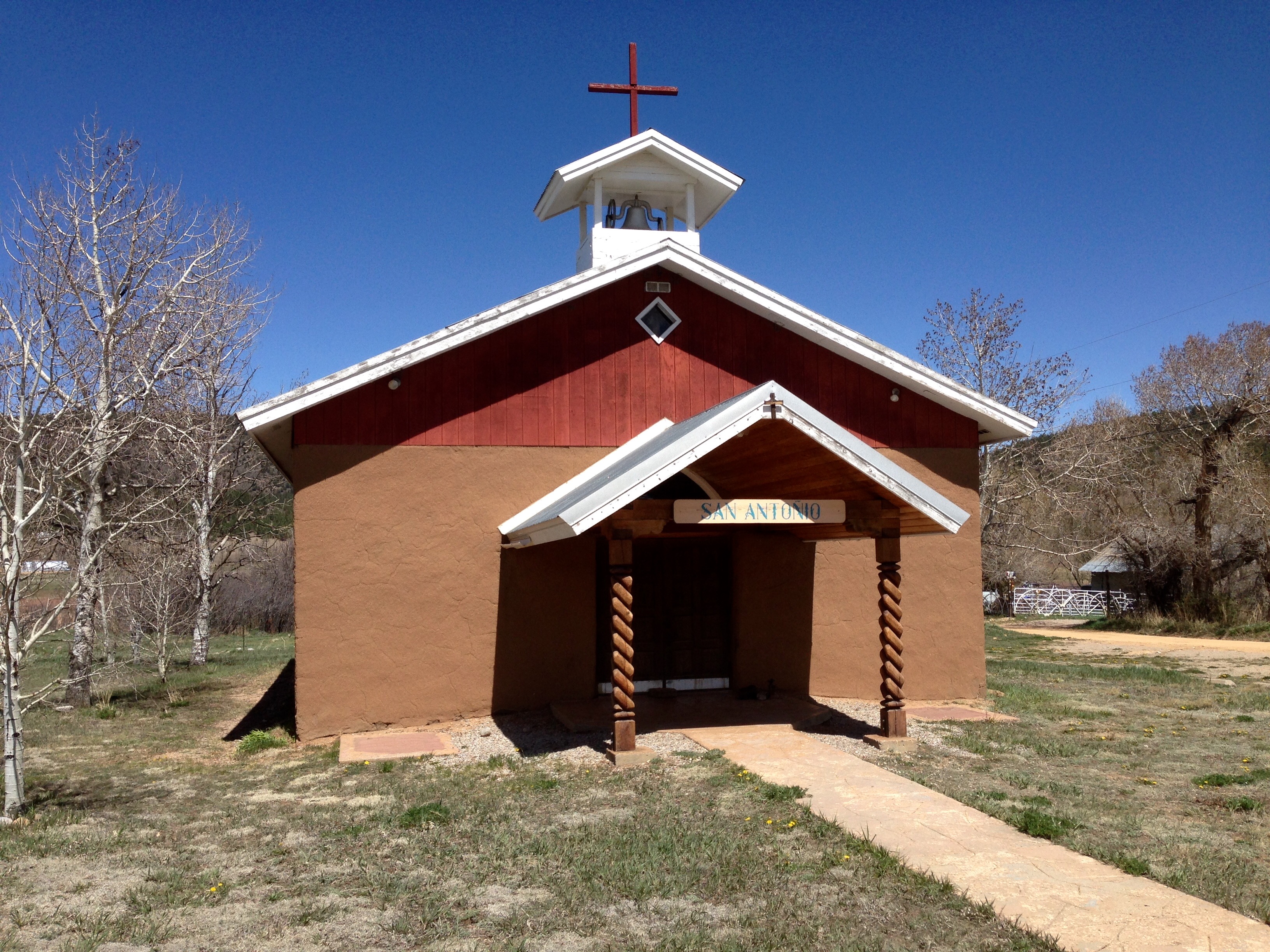
I used to call on accounts down in this area regularly back in the 80s. But I never took the time to actually see the area.  Been through Taos many times but this is the first time I’ve  actually stayed there.  Los Alamos, White Rock, and Espanola were towns I did business.  I looked for places, unsuccessfully.  Too much has changed in 30 years.

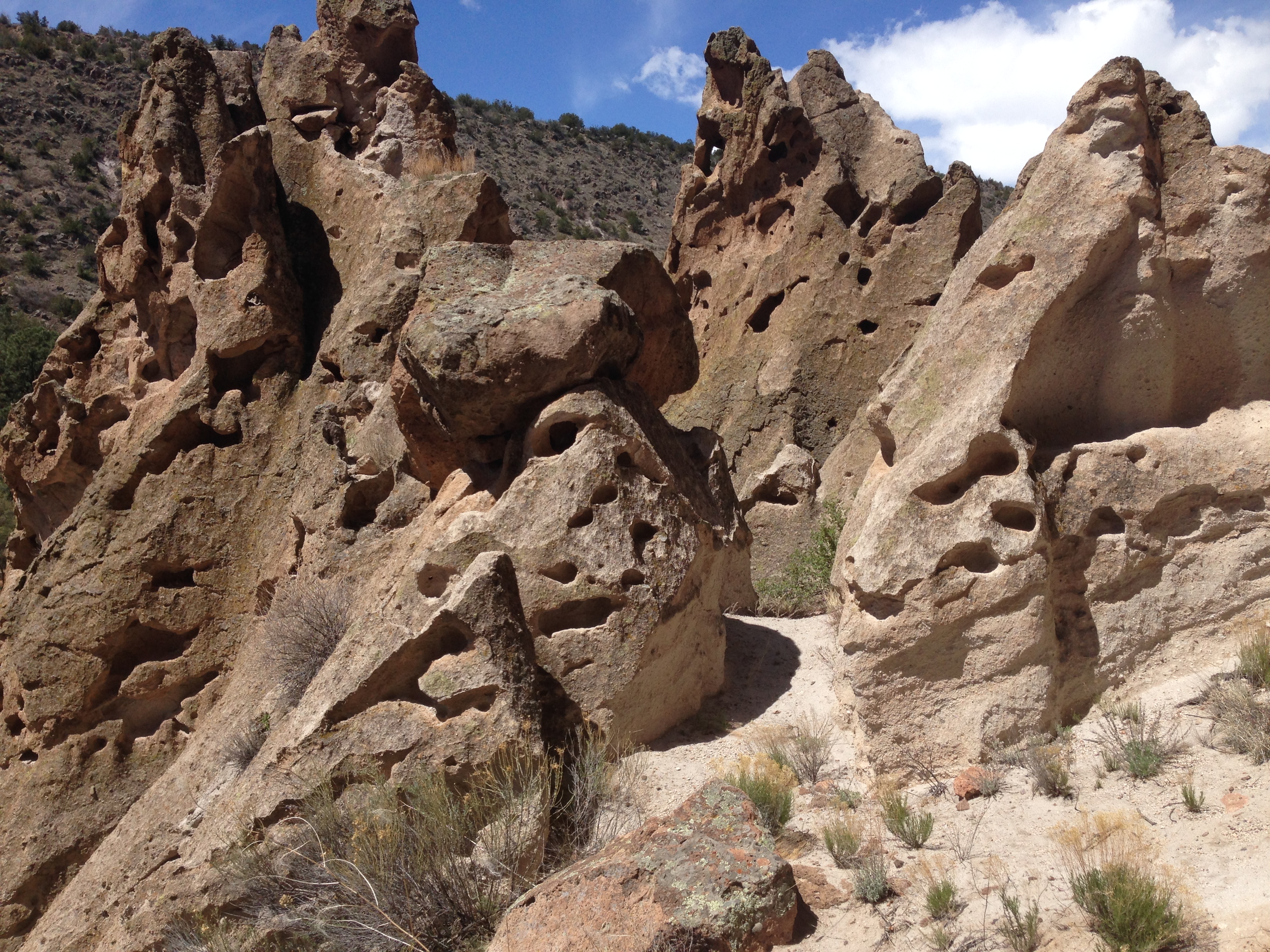
I went to Bandelier National Monument and guess what I found.  Yup, cliff dwellings and kiva ruins.  I don’t get sick of this stuff, maybe you guys are, but hey, we’re nearing the end, at least of this episode.  Bandelier is the correct spelling, after Adolf, not the bullet holder.

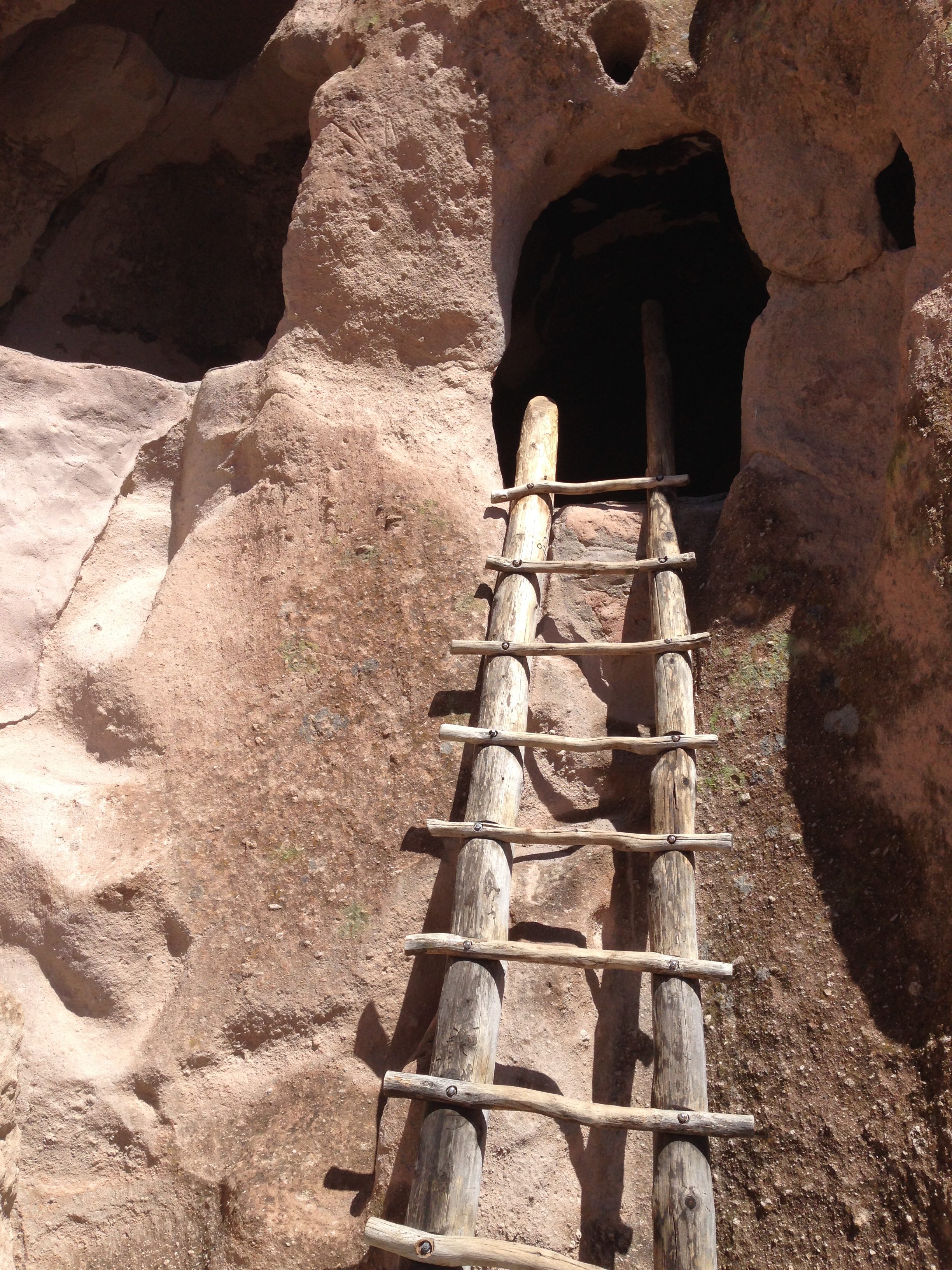
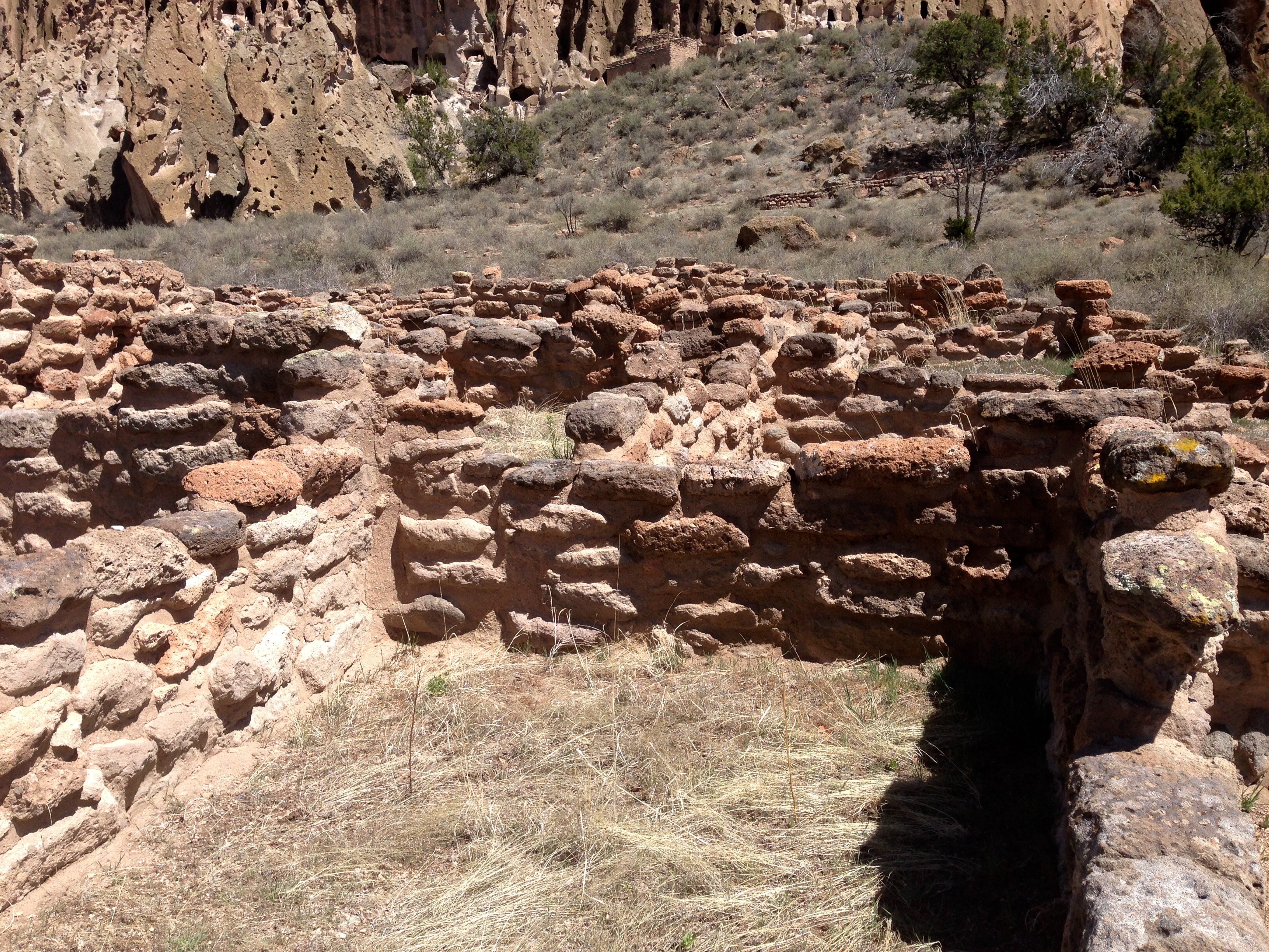
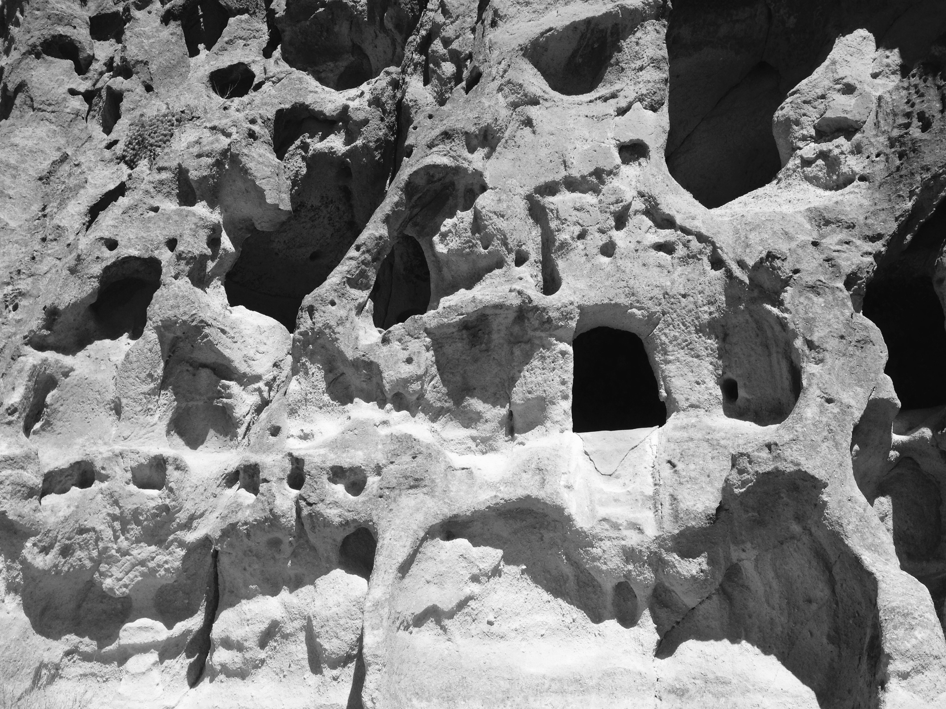
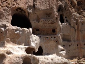
What I really enjoyed about the hiking here was the opportunity to once again be really close to these sites and actually be able to climb into them.  This canyon at one time had a lot of people living here.

path1ladderpath2

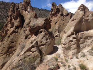
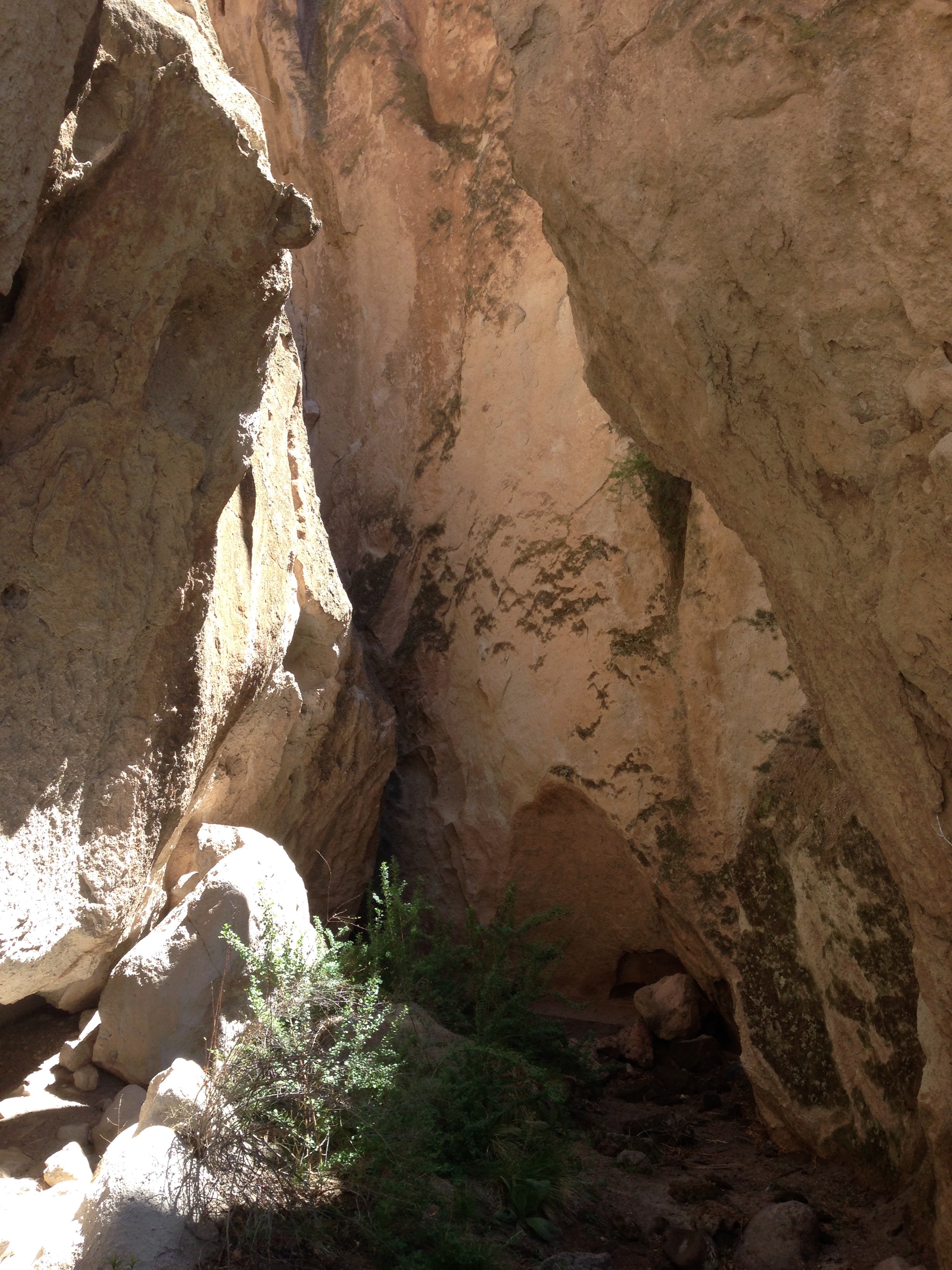
The hiking trail to the ruins worked it’s way along the base or the cliff face.  It was sometimes easy walking, and sometimes very narrow passages.  There were staircases and ladders all affording an up close experience.


kiva

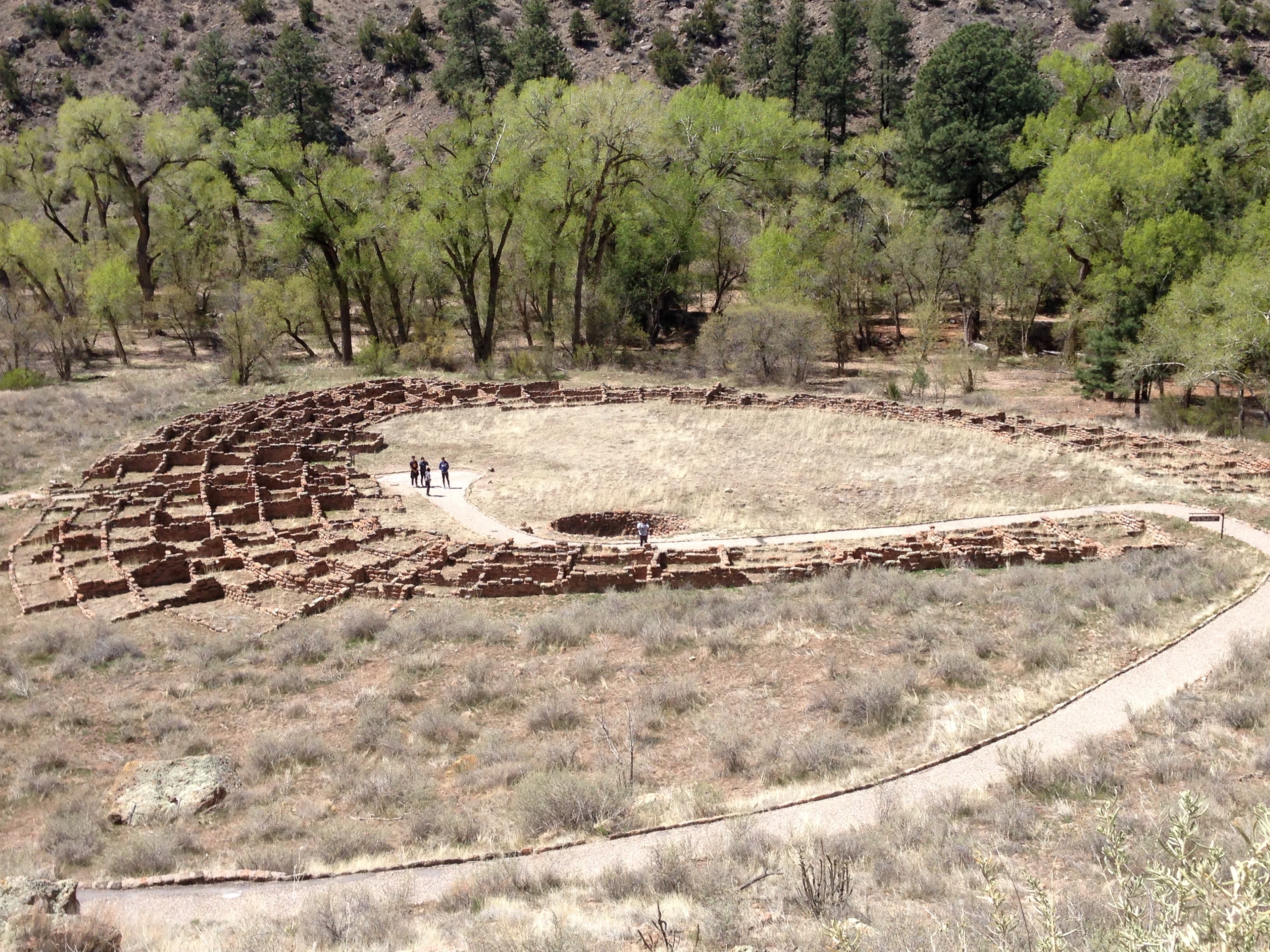
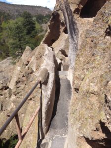
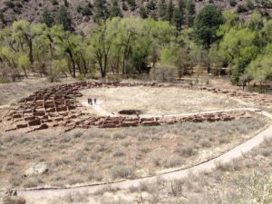
These were the ruins of a very large community kiva.  And here it is from above.

kiva2

adobe

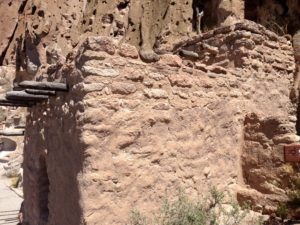
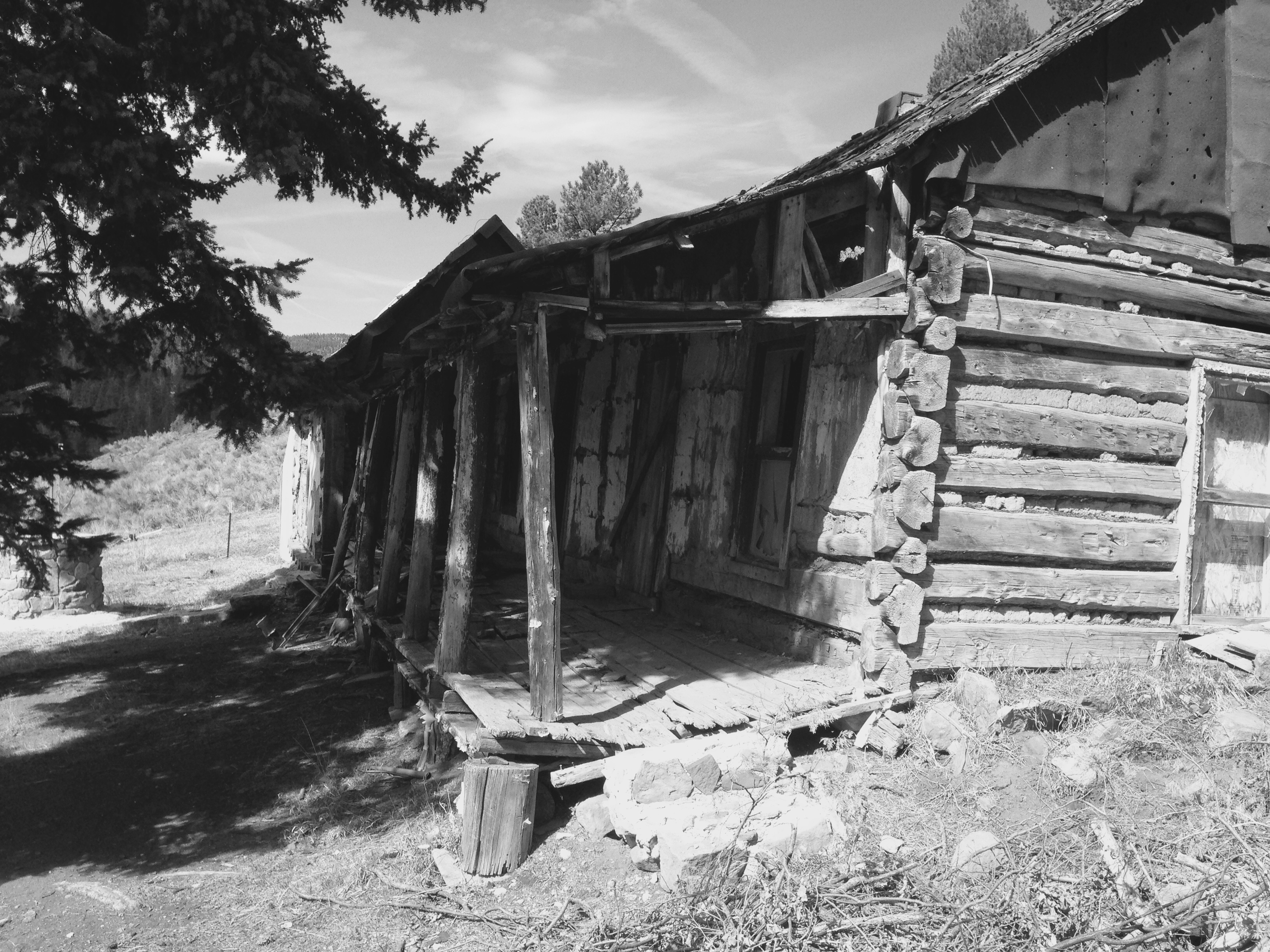
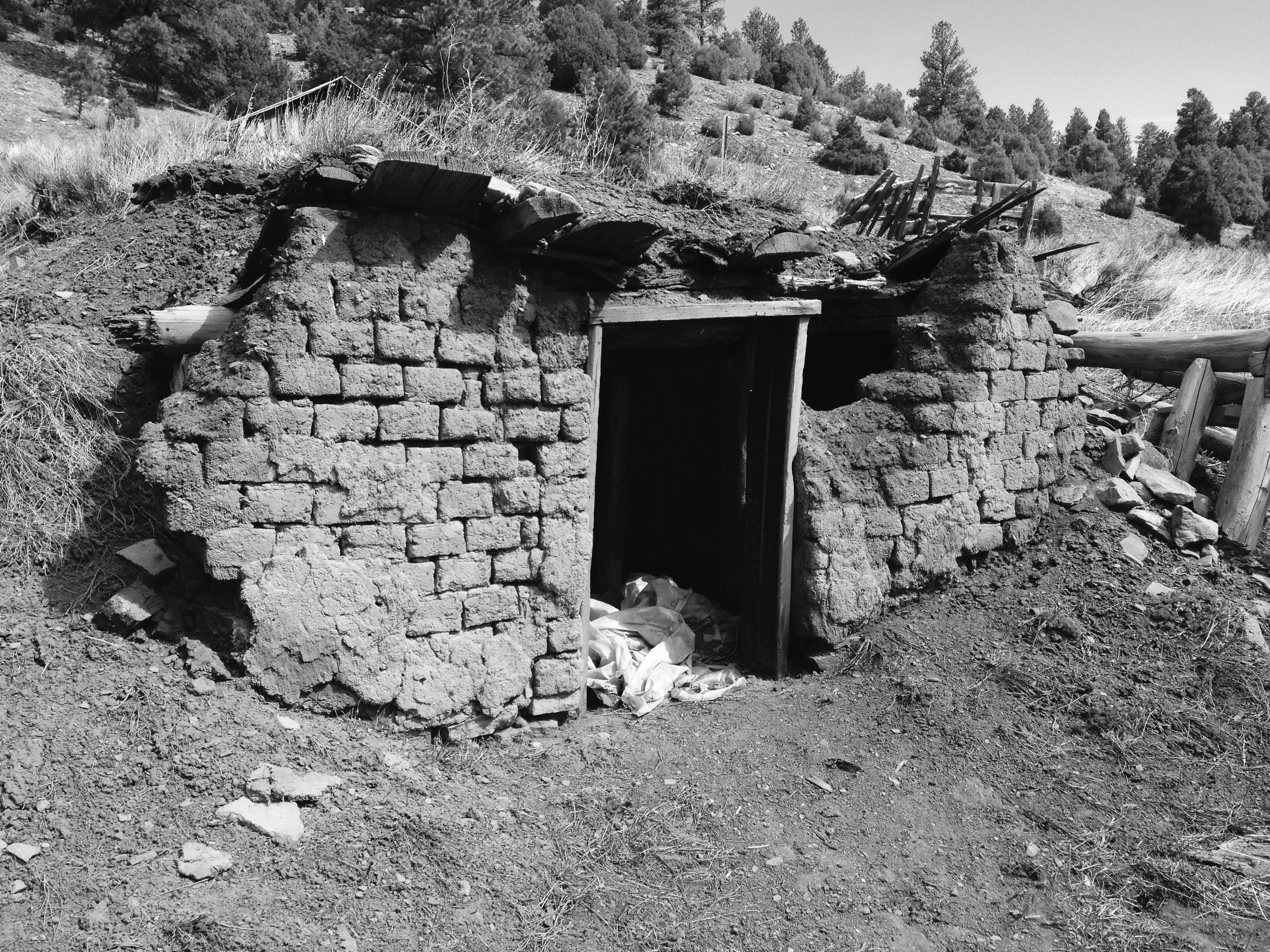
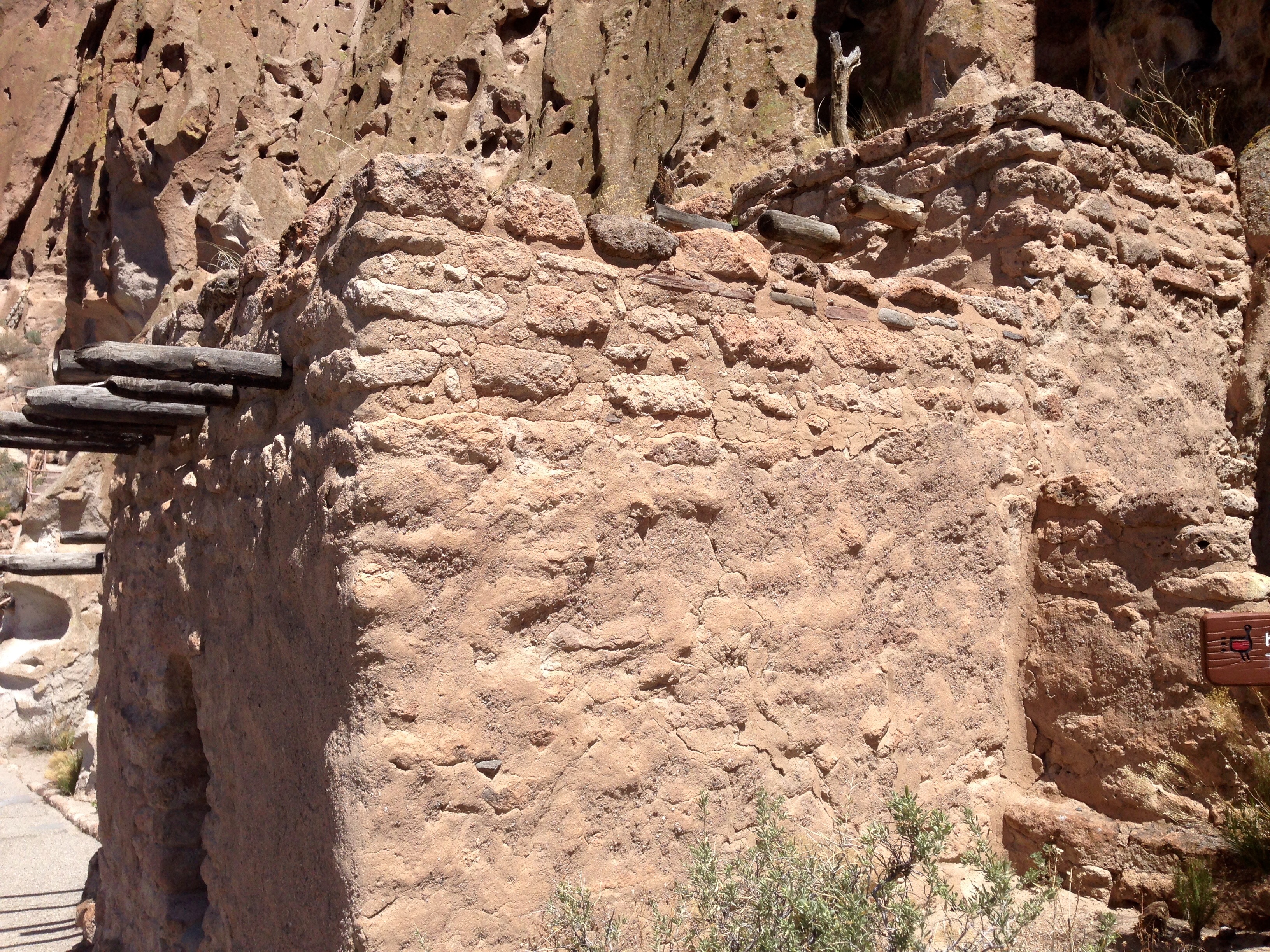
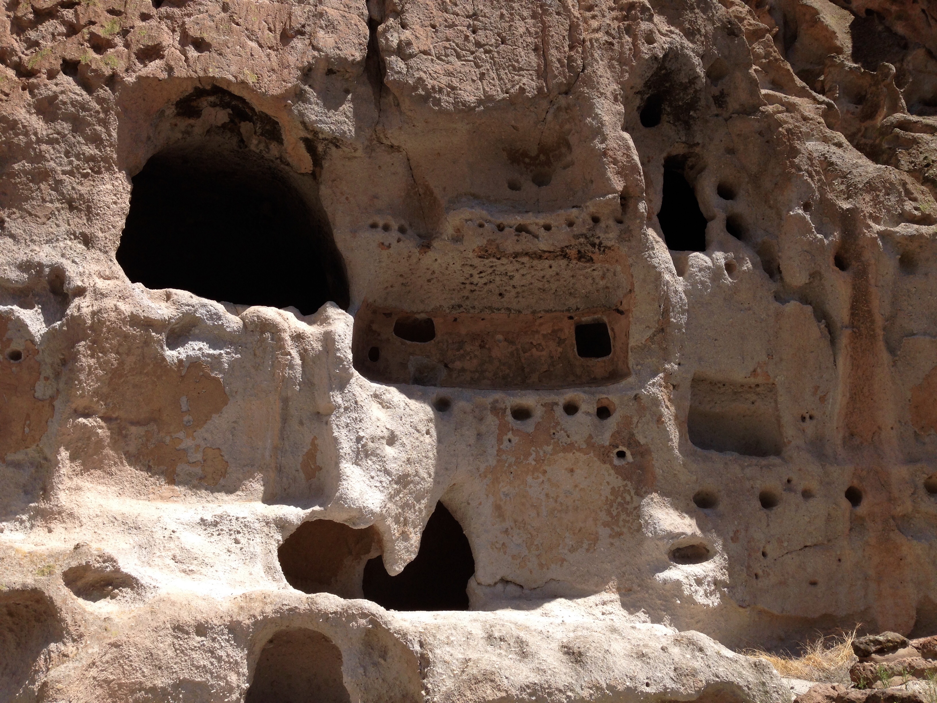
When I took that photo I was standing right next to this old adobe house perched on the side of the cliff with caves all above it.  It’s hard to get a sense for the magnitude of this cliff dwelling and ruins site.


cliffface3

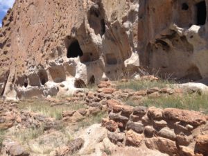
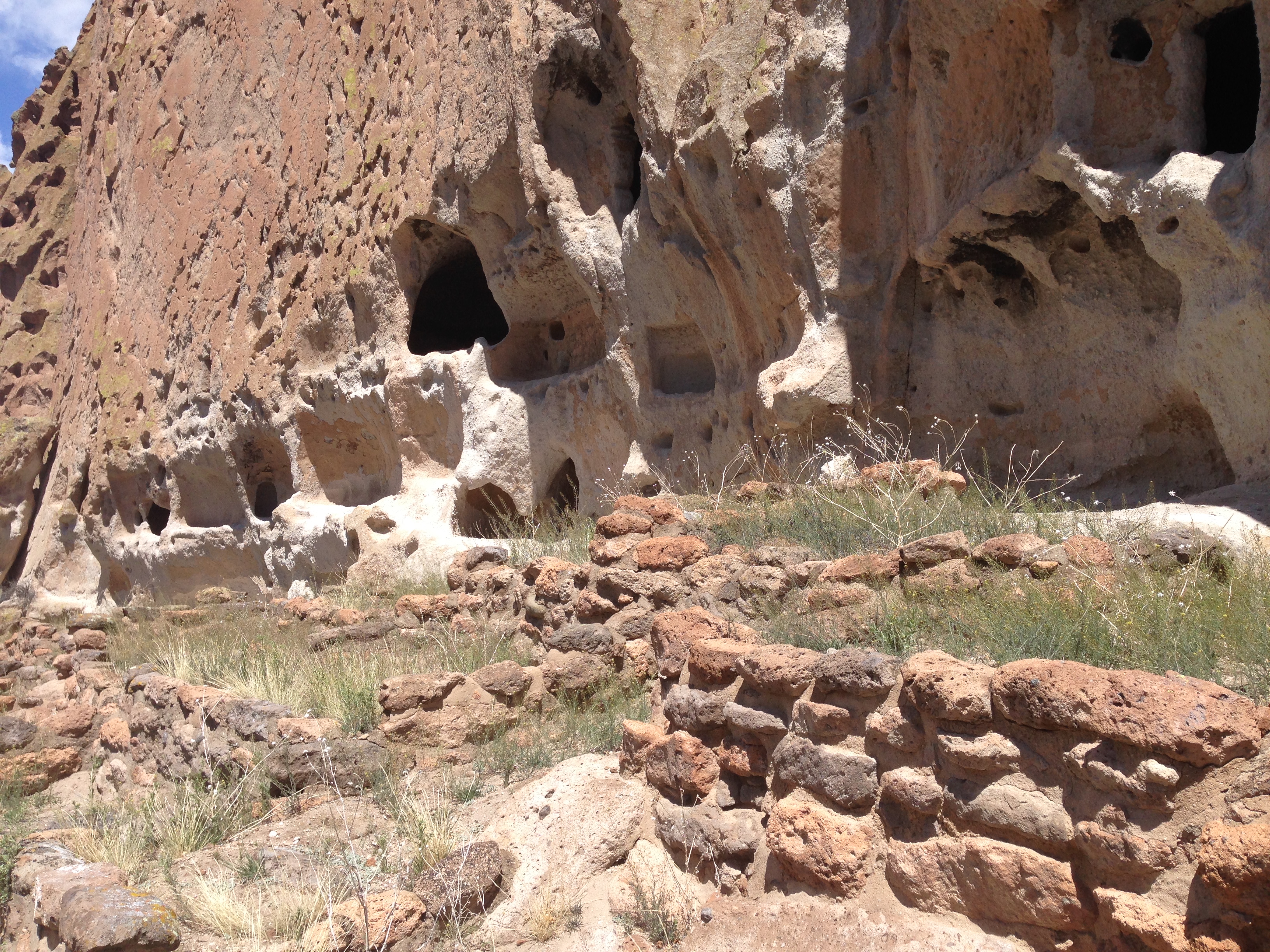
Some of the kivas and adobes were built right in front of cave networks.  Yes, they really are extensively connected behind what you see.


clifffacecliffface2

smallspacepictos

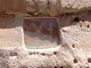
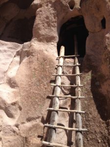
Here’s a pictograph that has been protected behind a UV screen.


oldwood

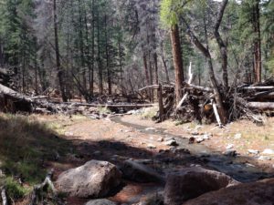
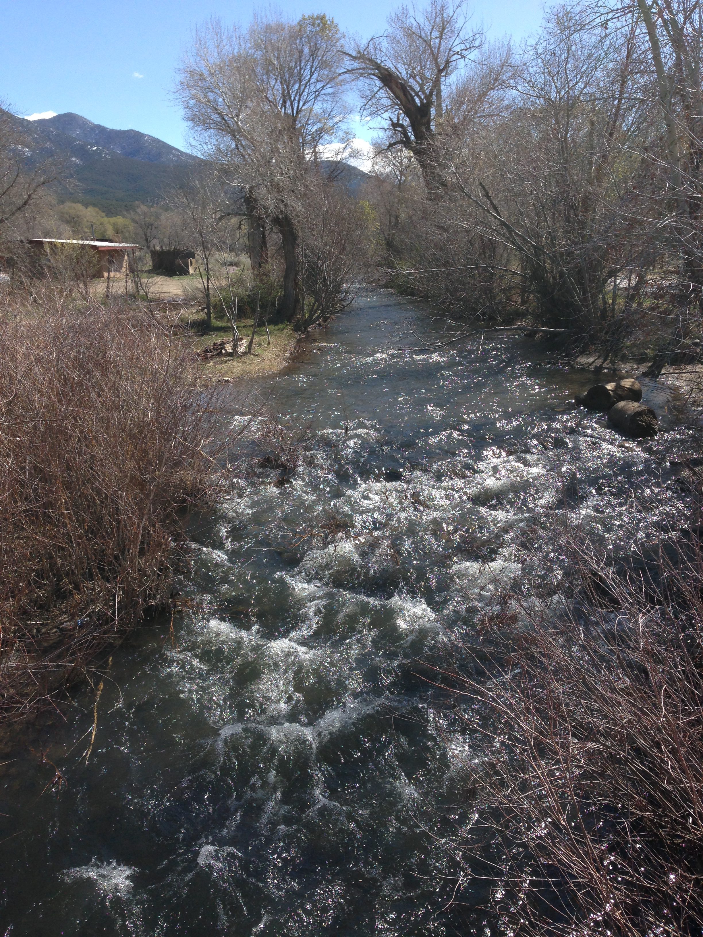
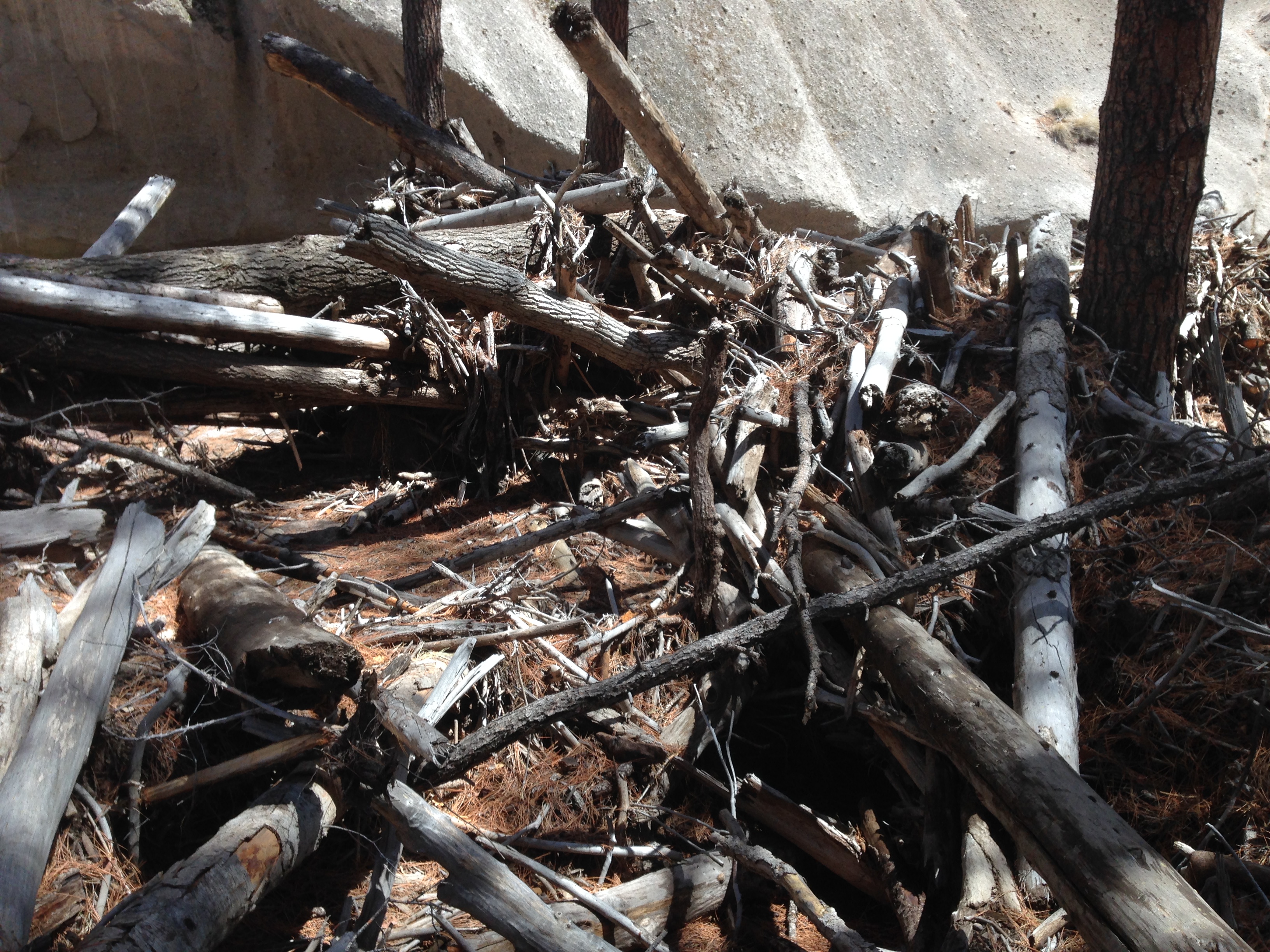
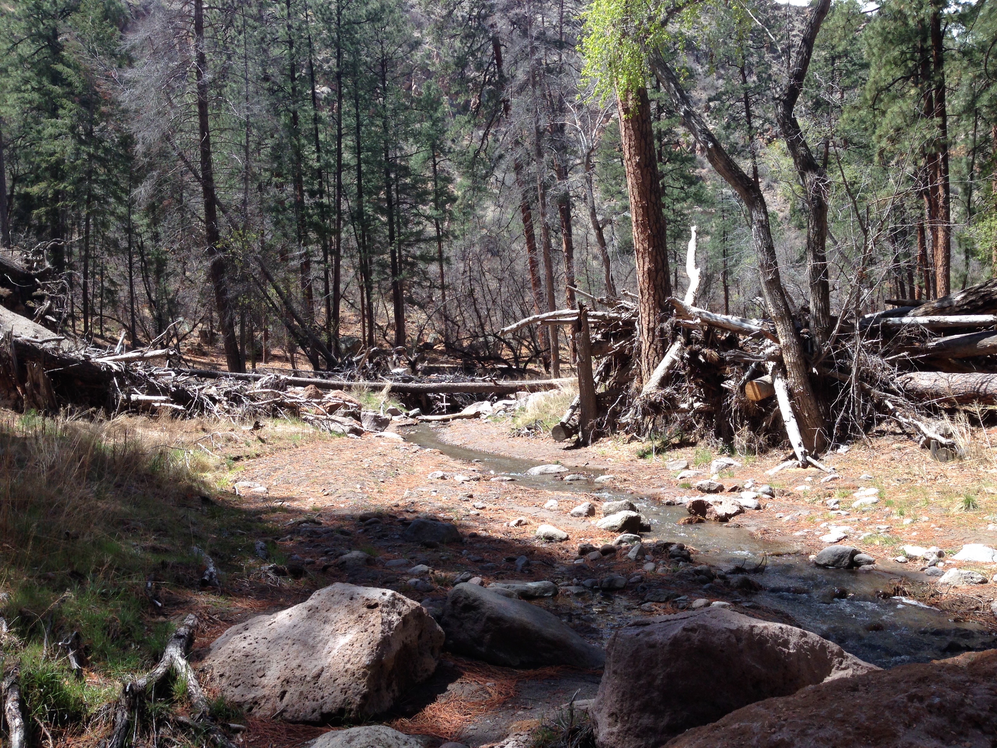
And, here’s the old wood.  Actually I took these two photos to show you how littered with old flood debris this canyon is.  The last flash flood occurred in 2011.  It’s hard to believe that this picturesque tiny creek can at times in it’s life pile up mounds of displaced wood.

creek