Now Why Don’t He Write?

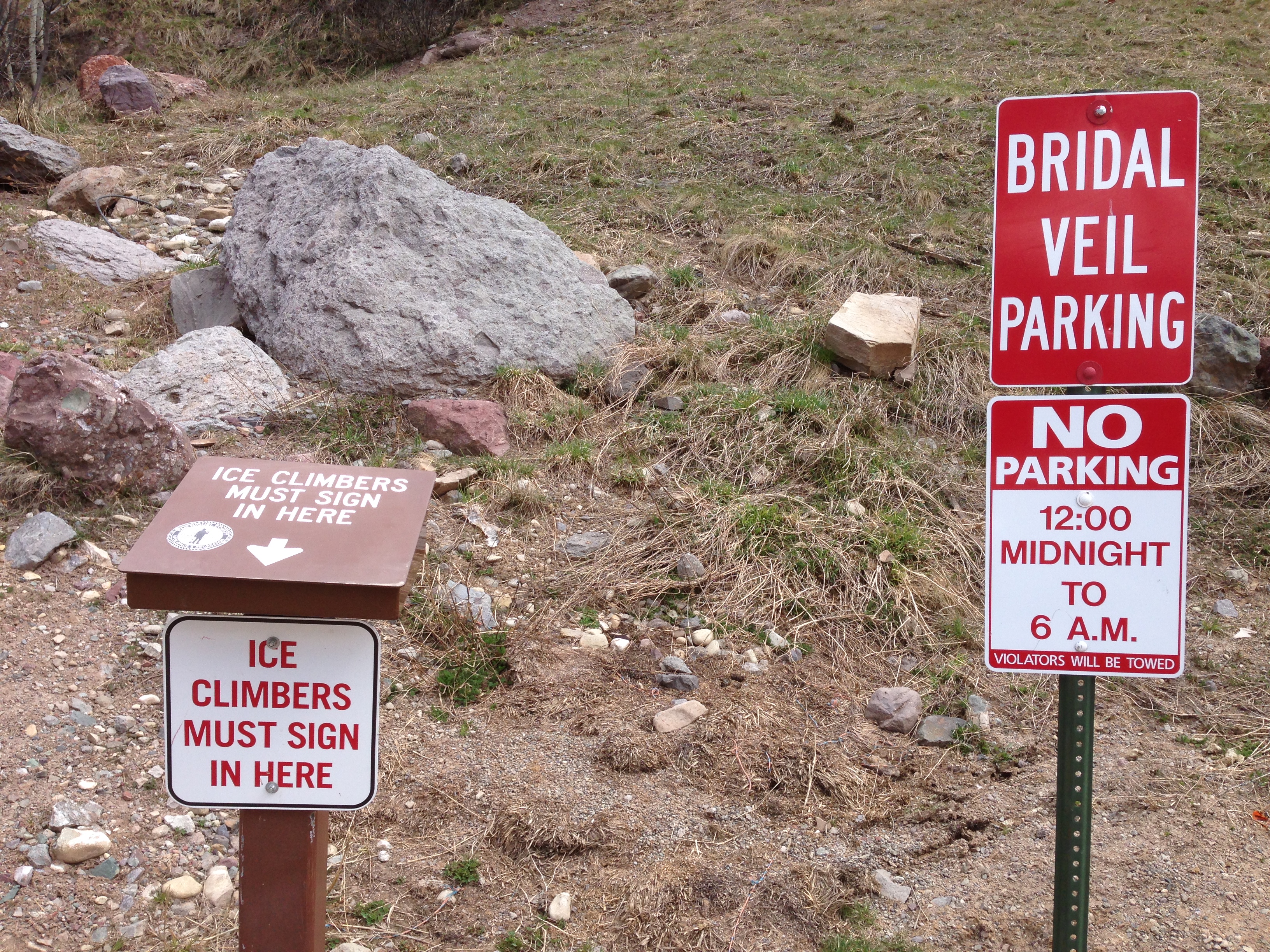
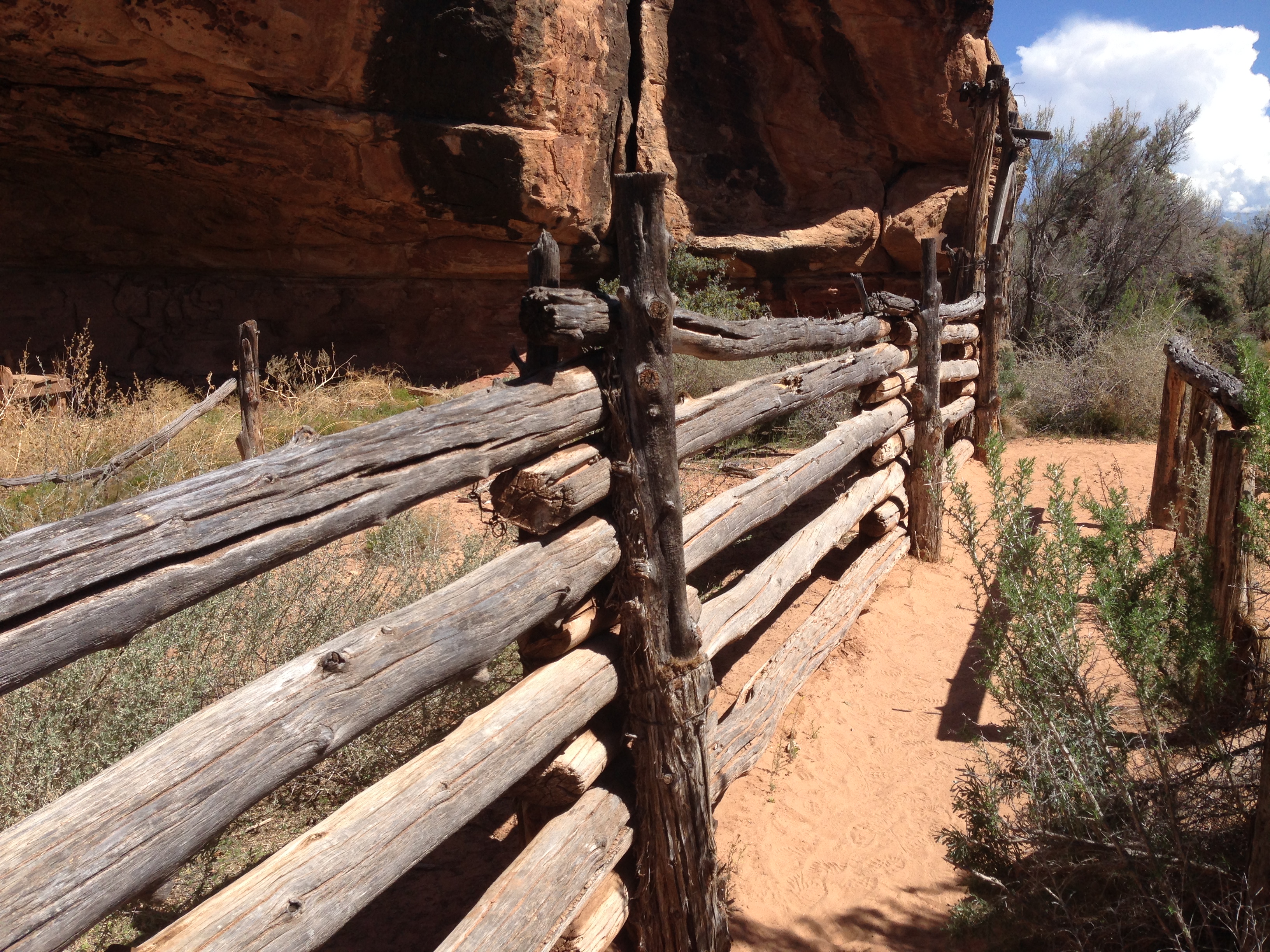
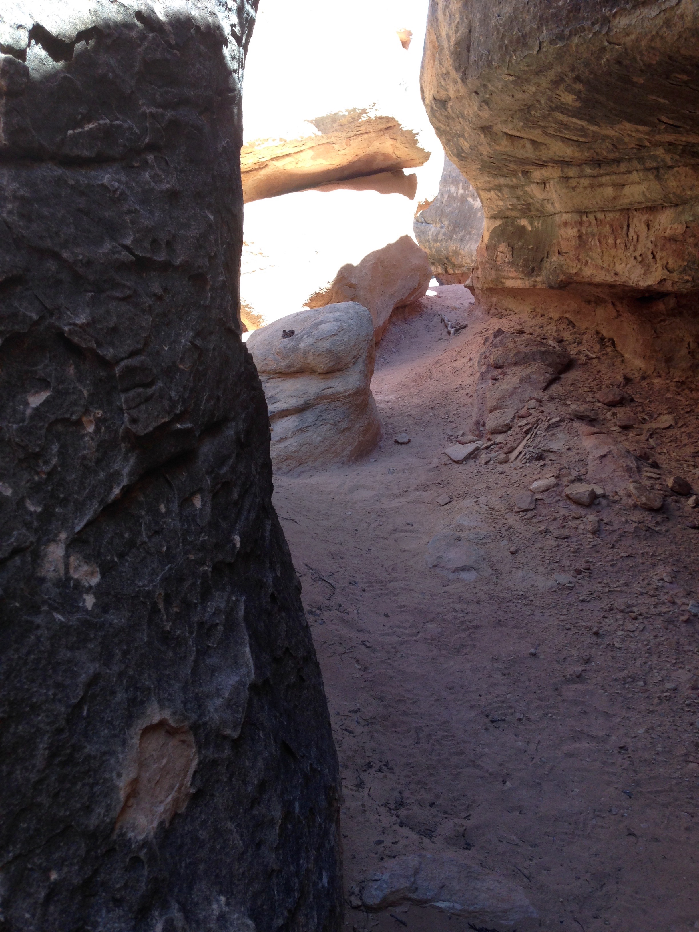
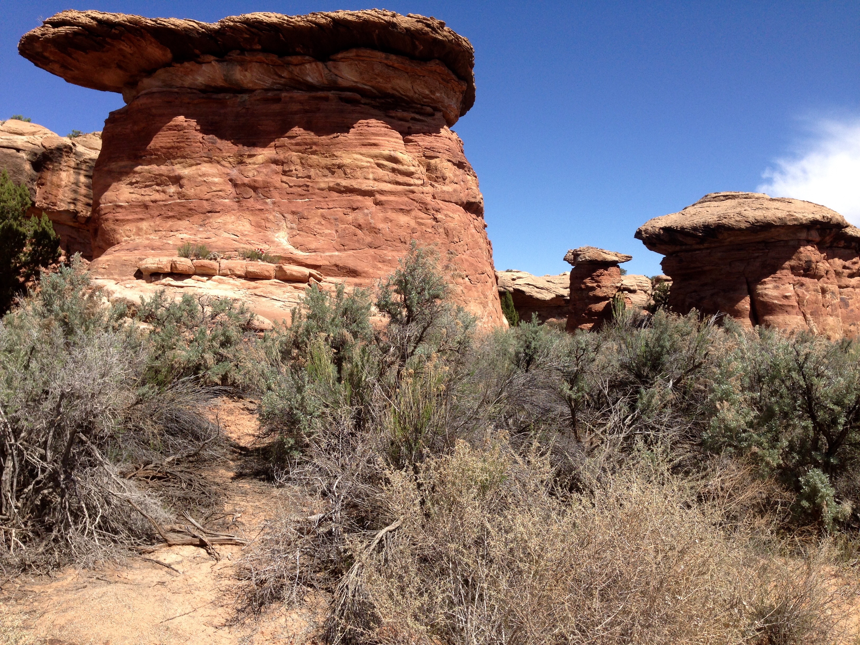
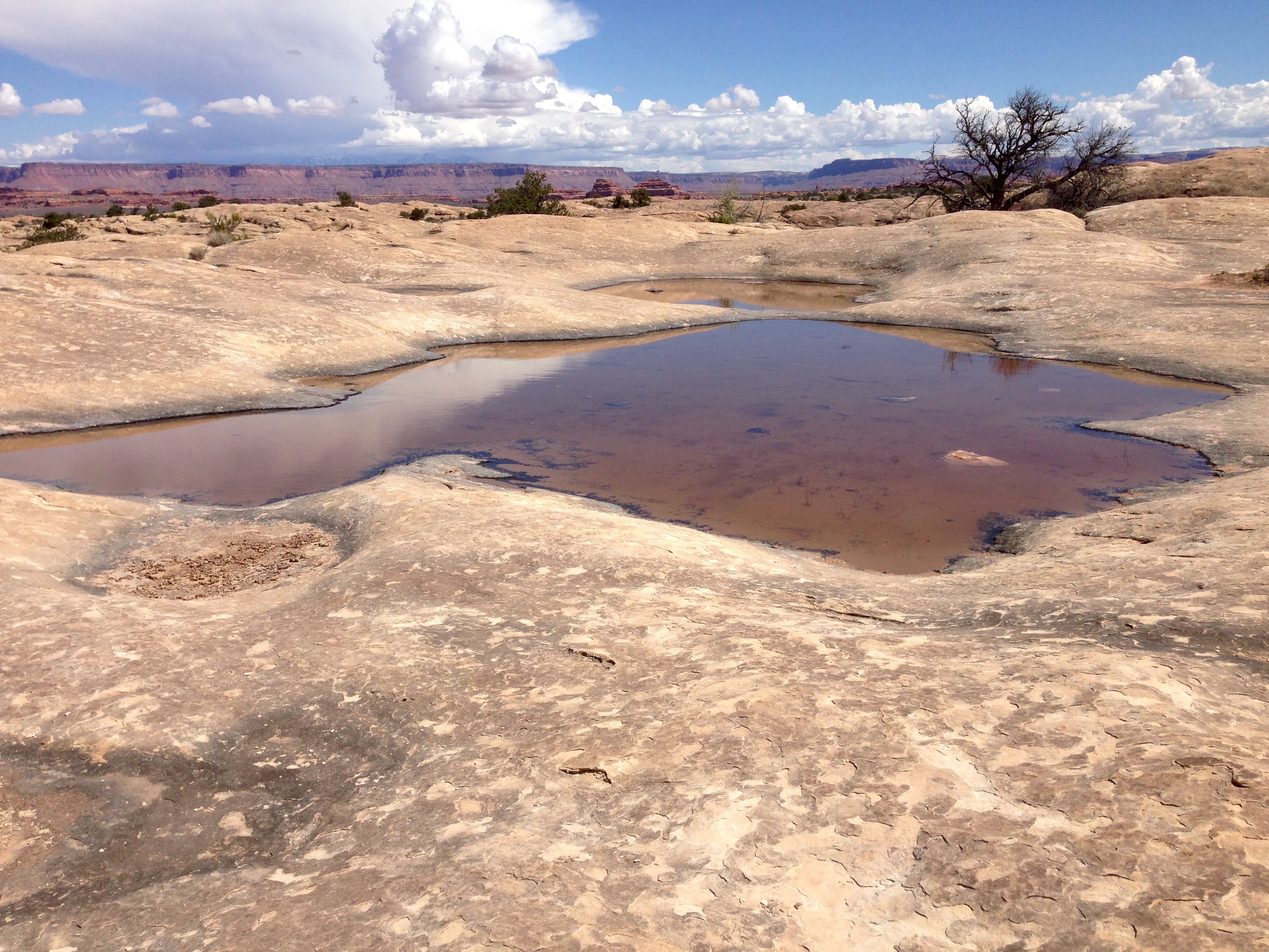
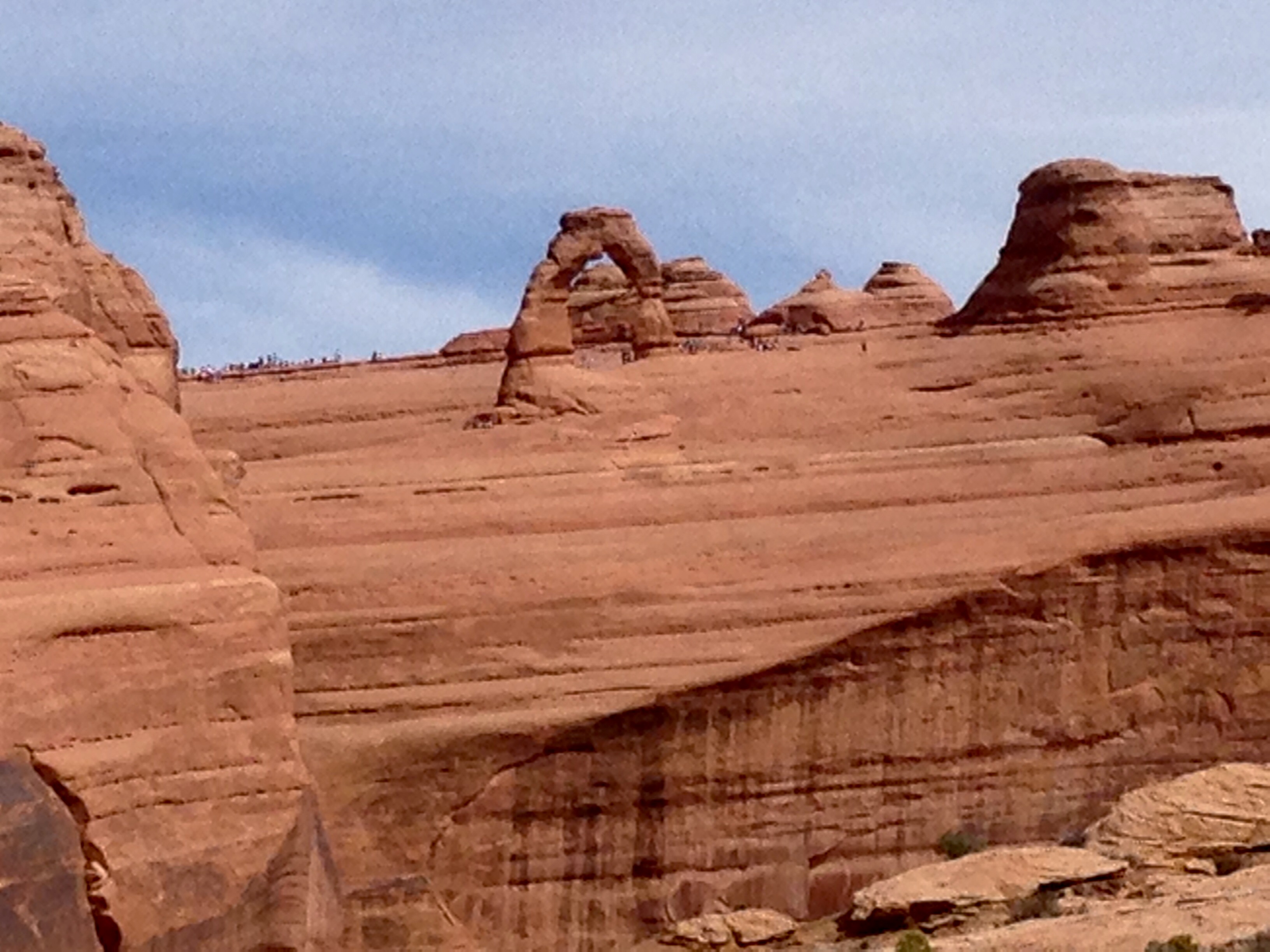
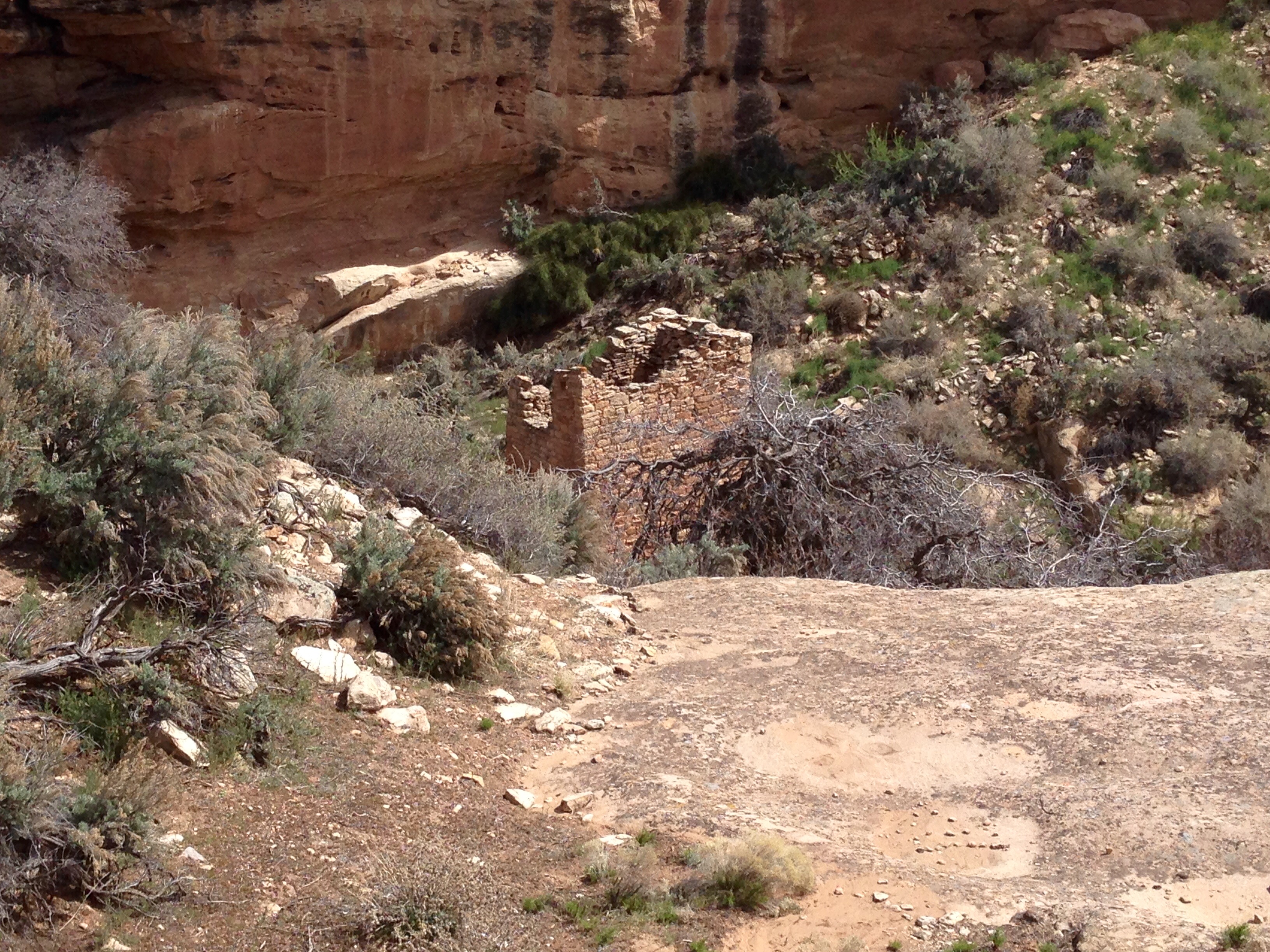
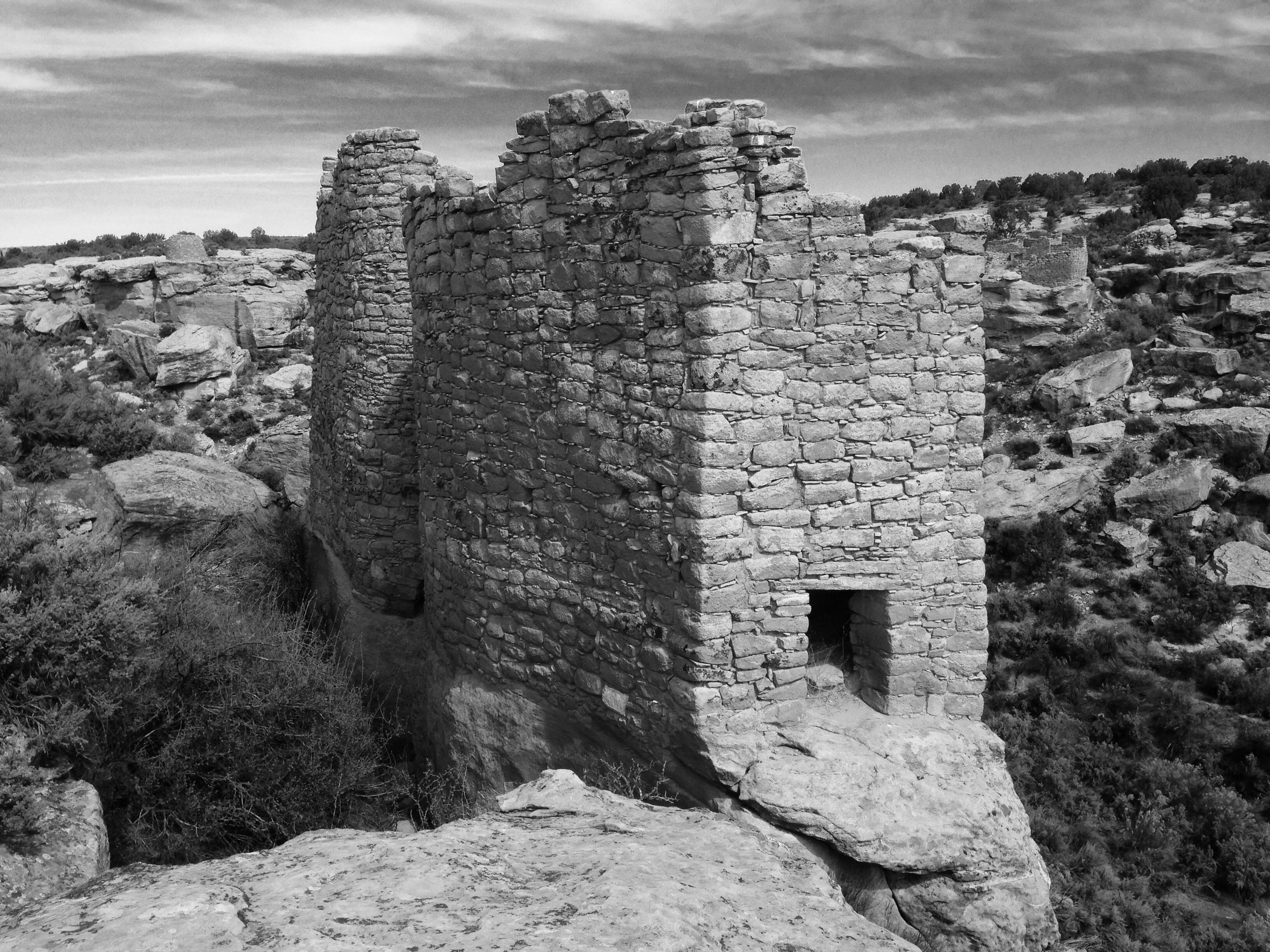
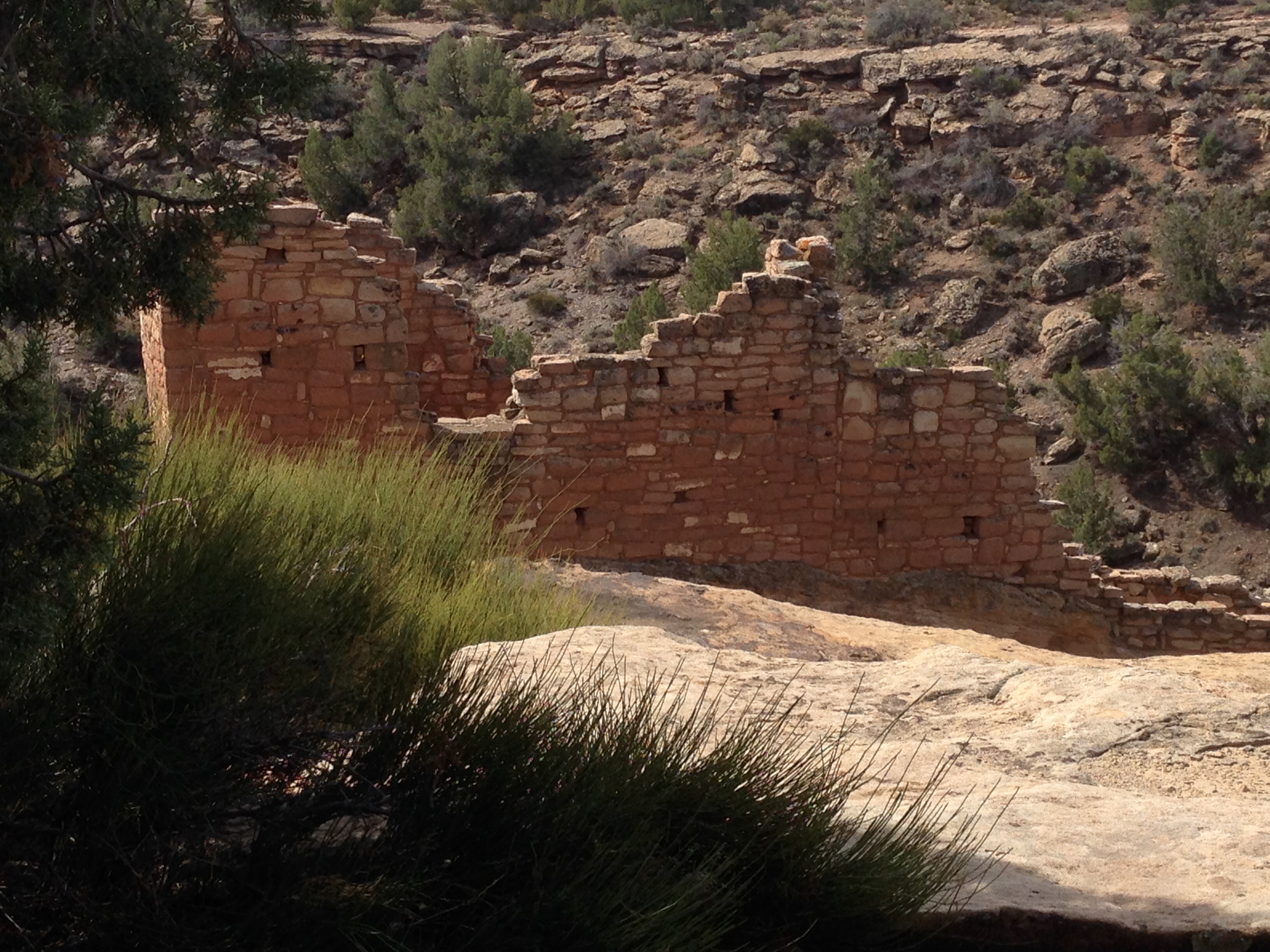
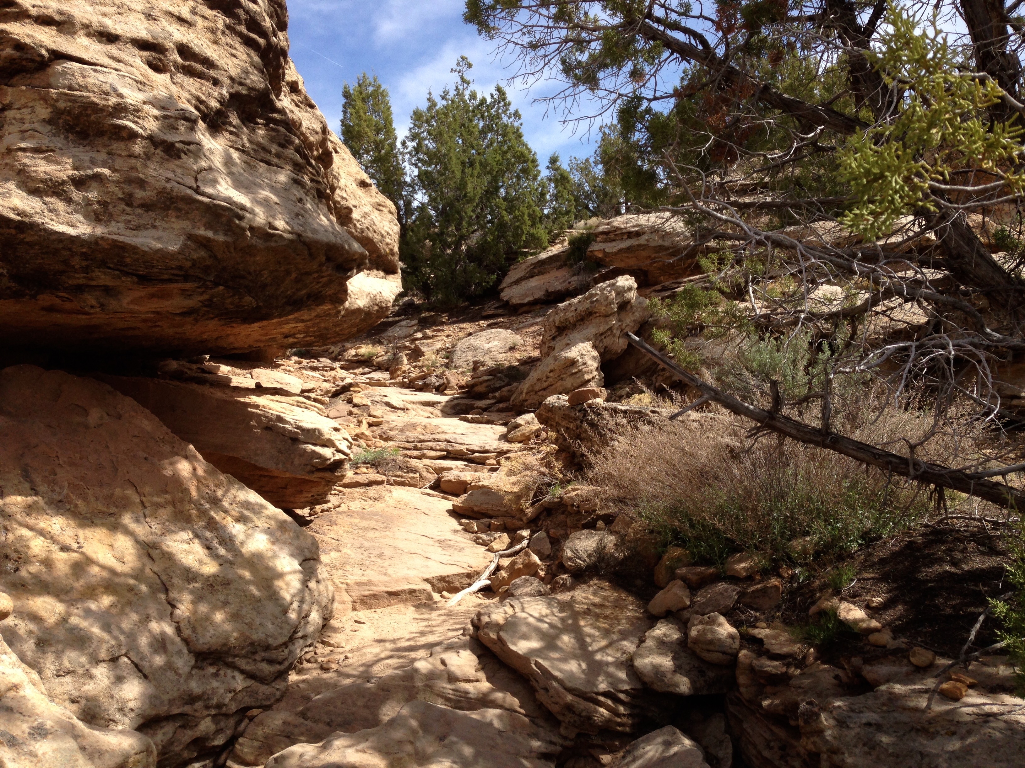
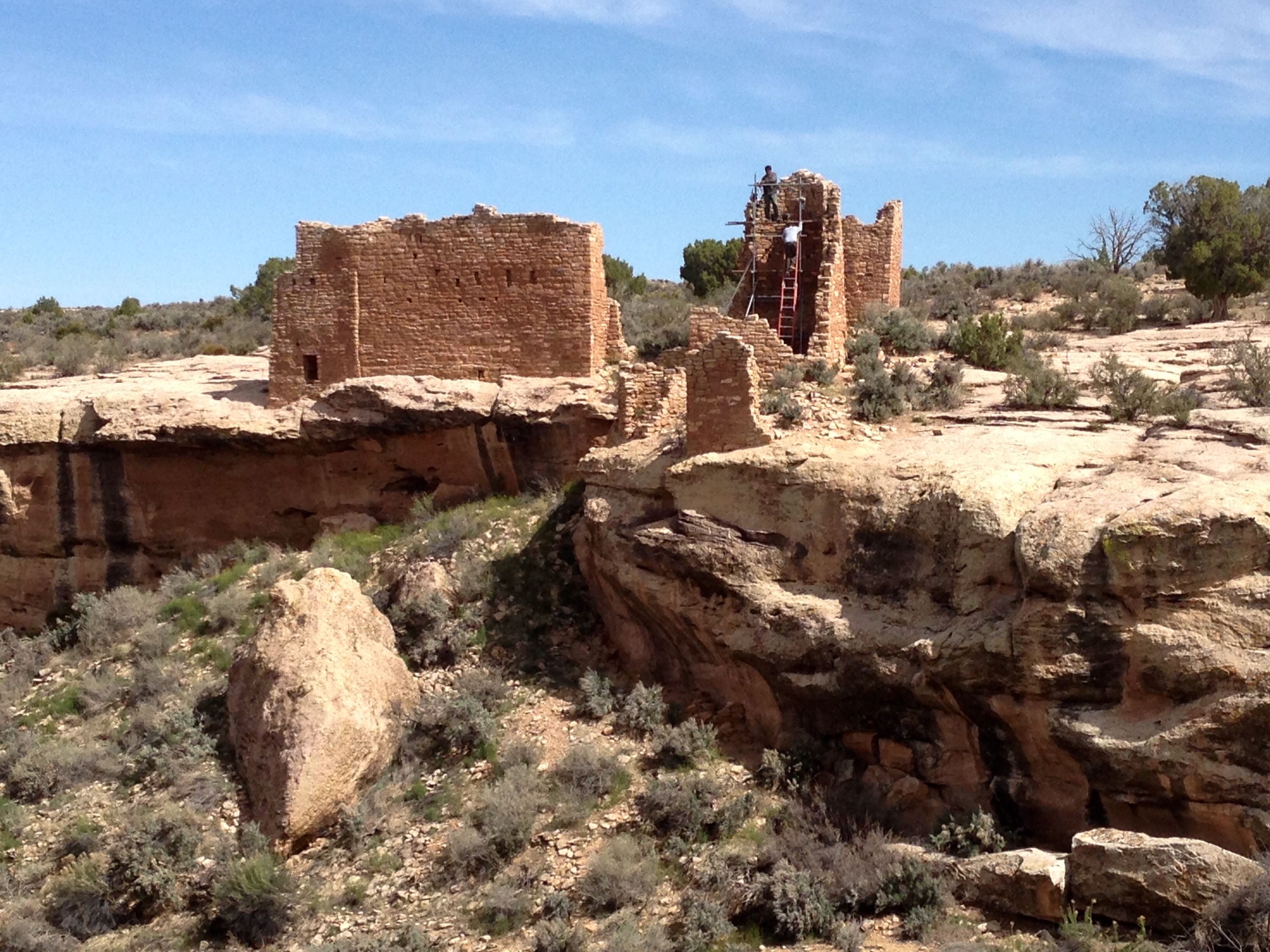
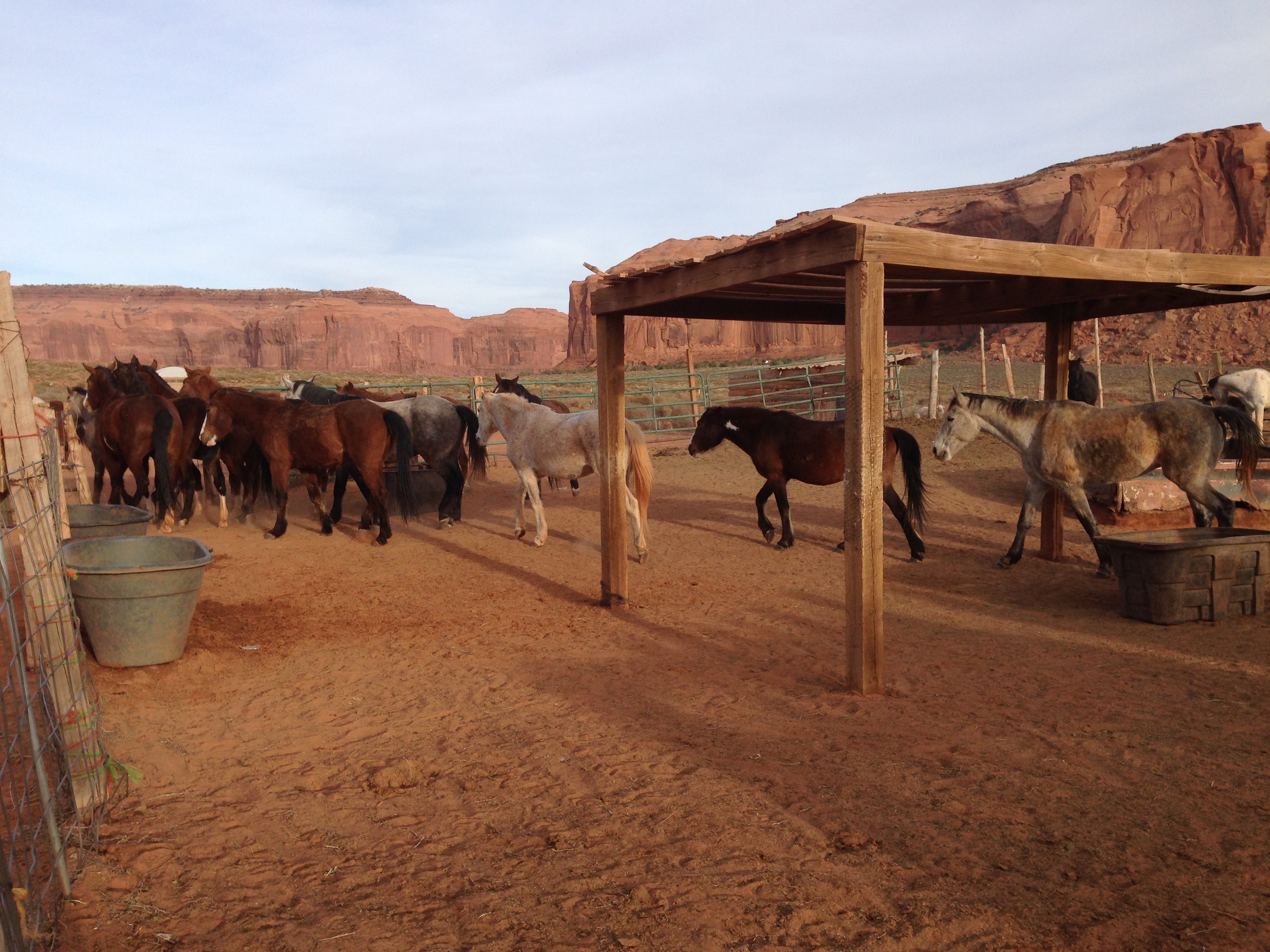
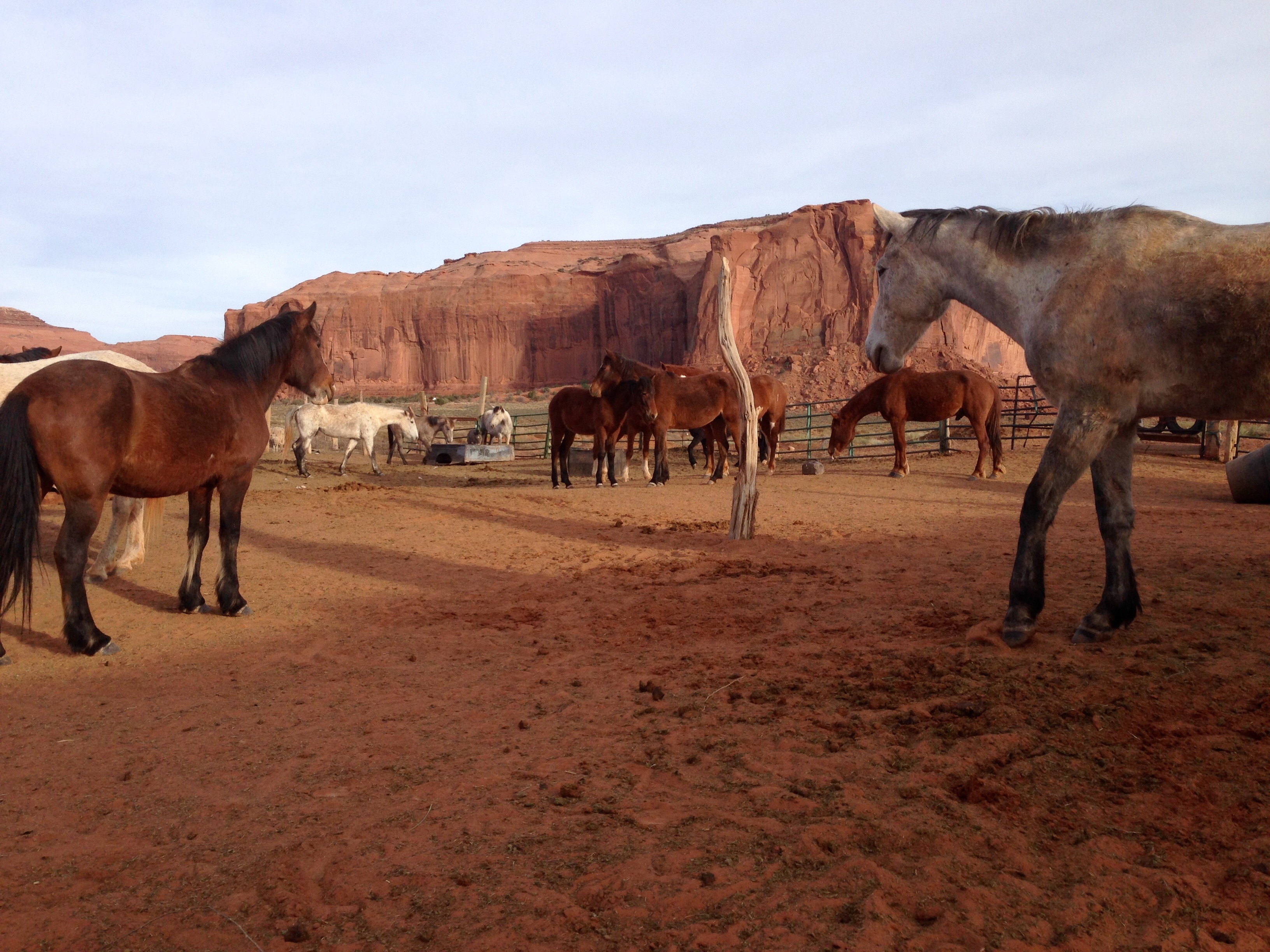
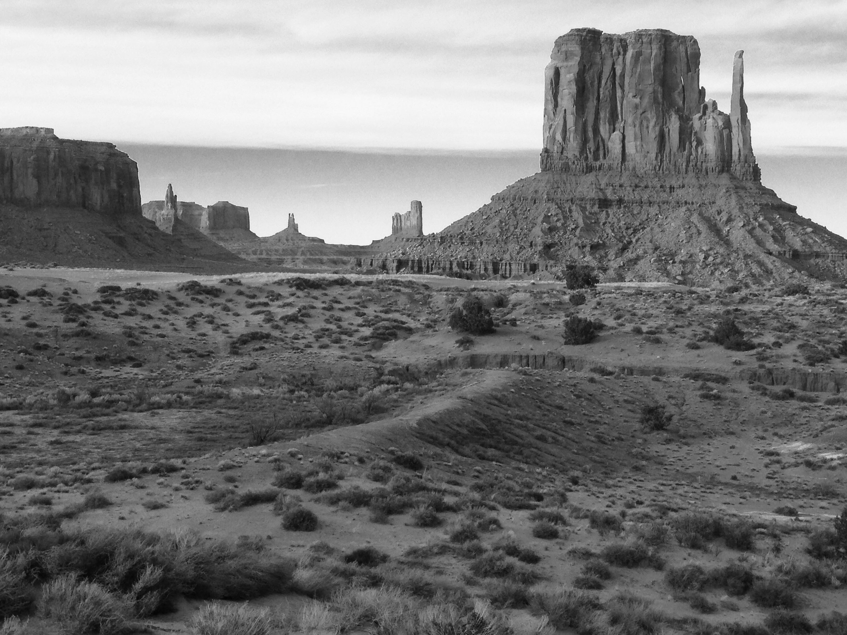
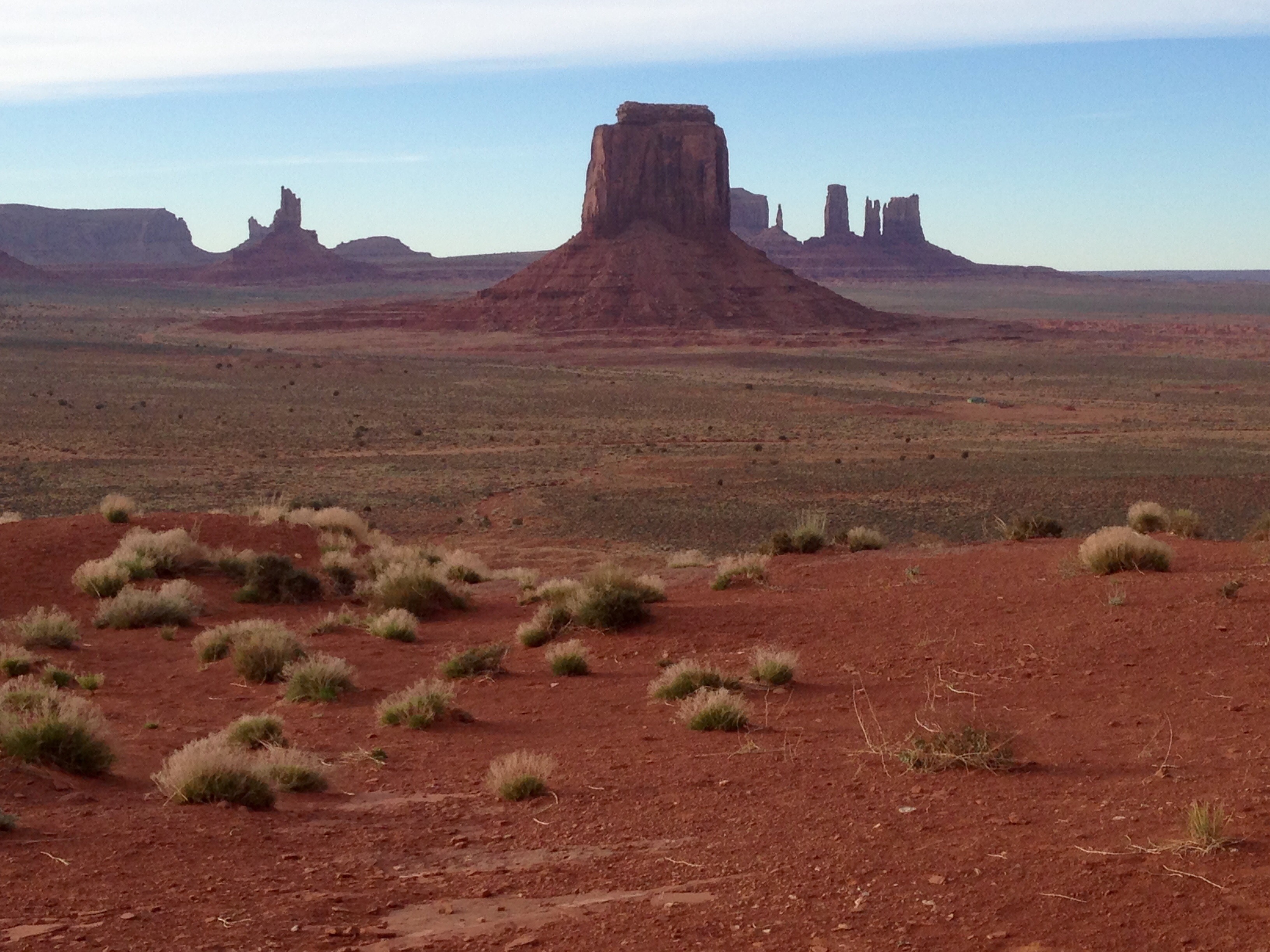
Monday, April 18th, Durango to Taos

On Sunday I texted my kids and told them it looked like the morning was shaping up to be a soggy pack up and leave.  Rain/mix was also in the forecast for Taos so I kinda knew I was in for it a bit.

It started out with some good fortune.  The precipitation held off ’til about 9:30 in the morning, just about the time I was all buttoned up and ready to hit the road.

alpenrose1

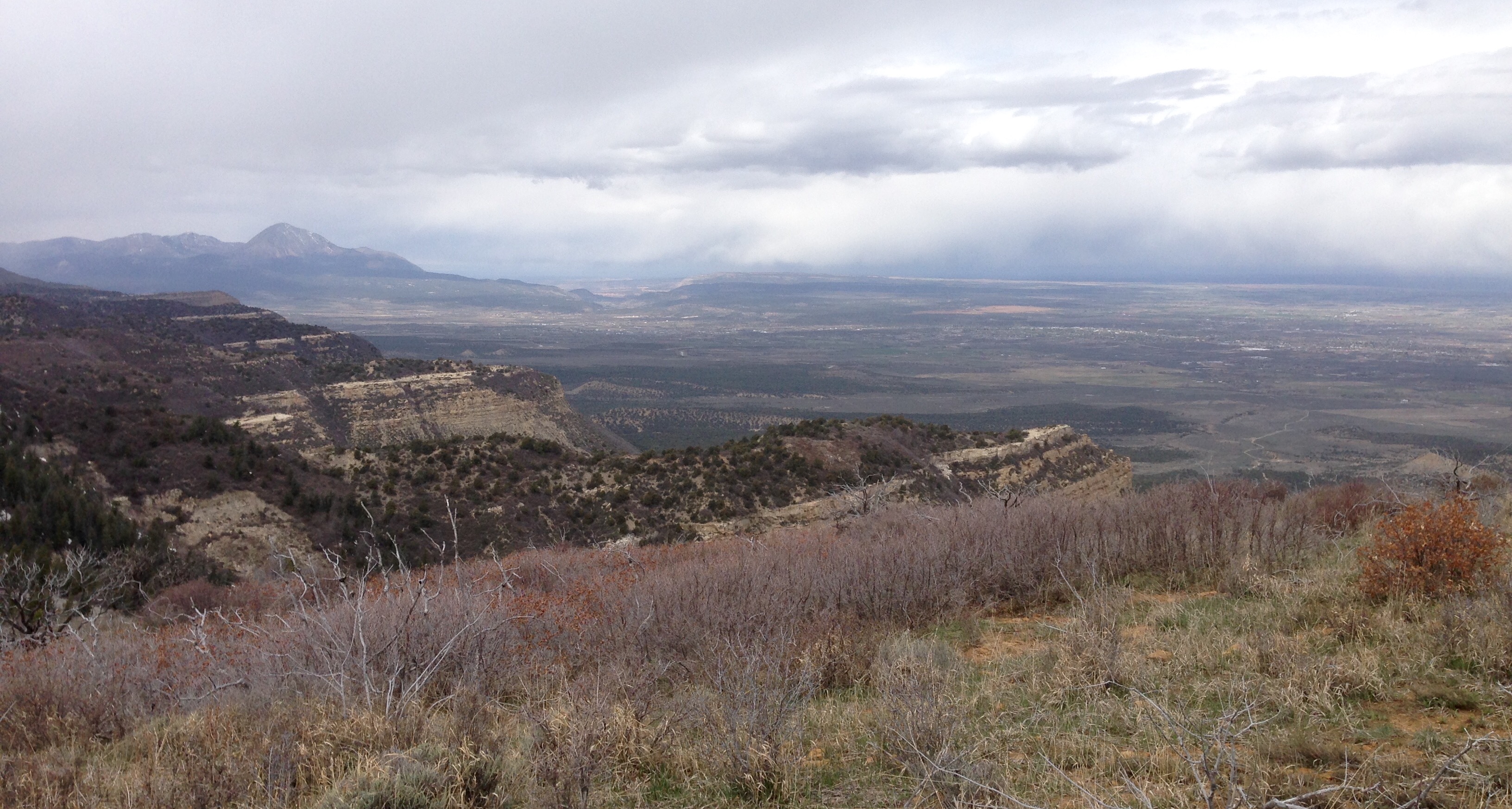
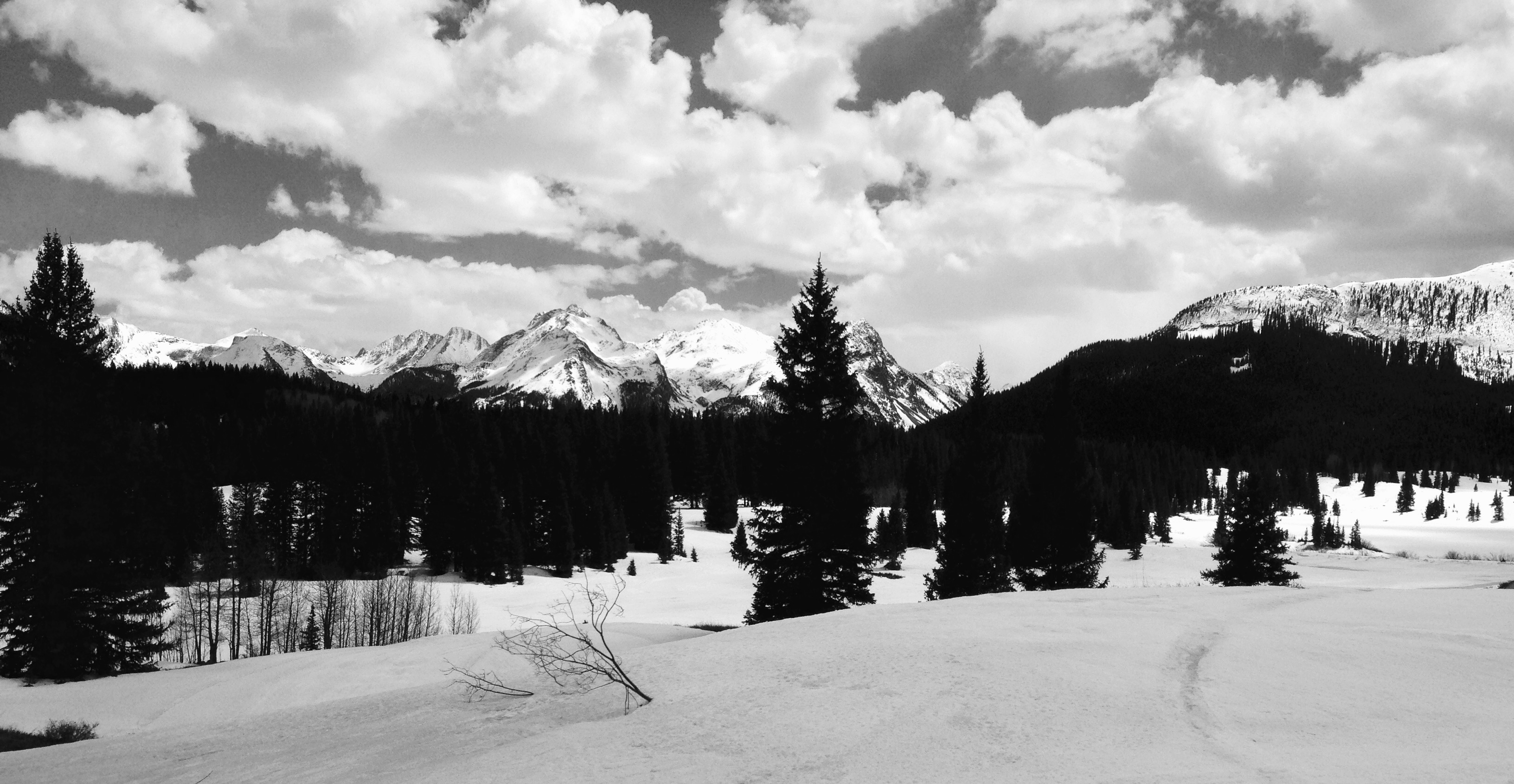
This is what it looked like looking out on the highway from the campground on Monday morning.  As I was leaving Durango a steady rain/snow mix was coming down.

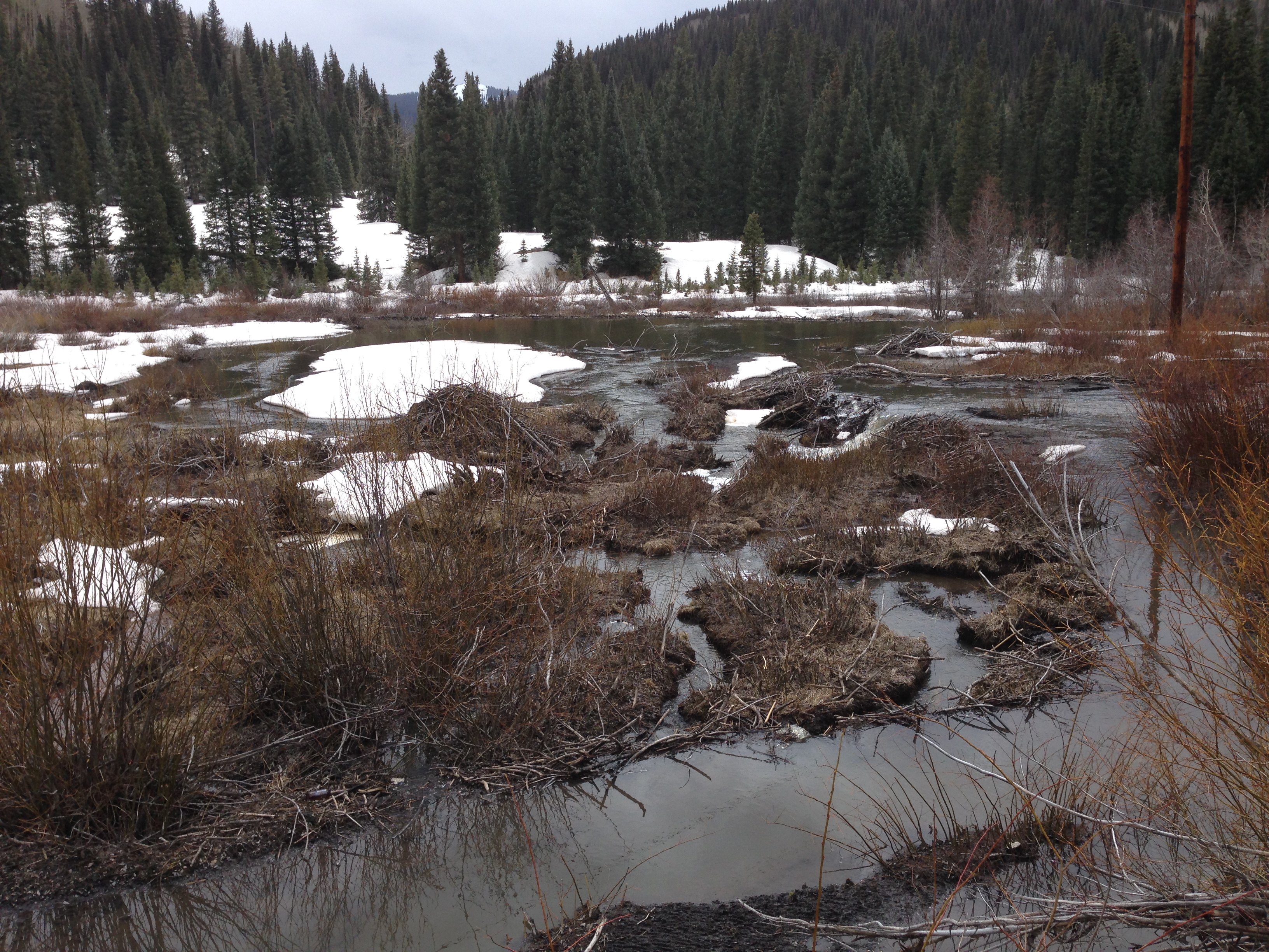
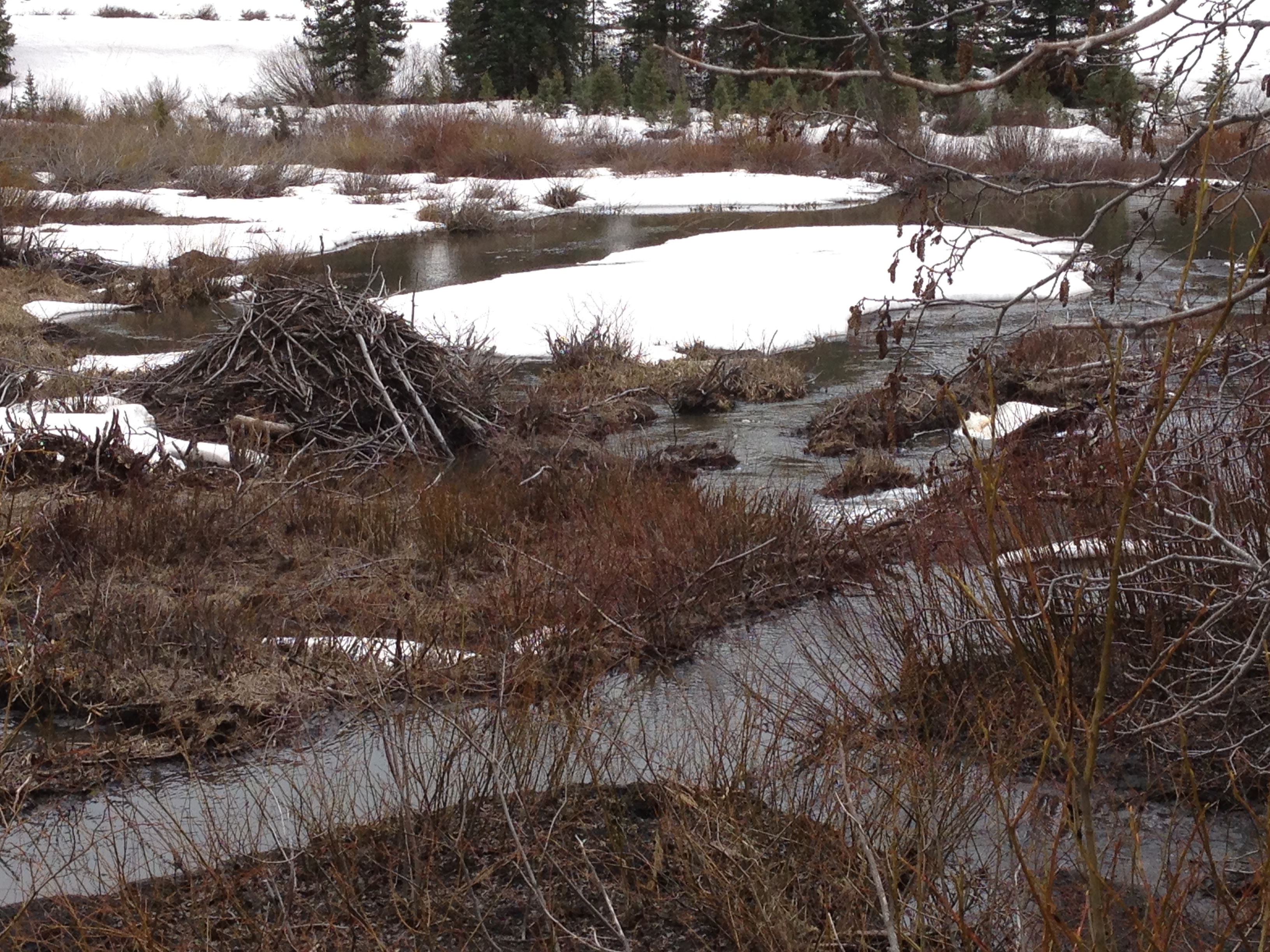
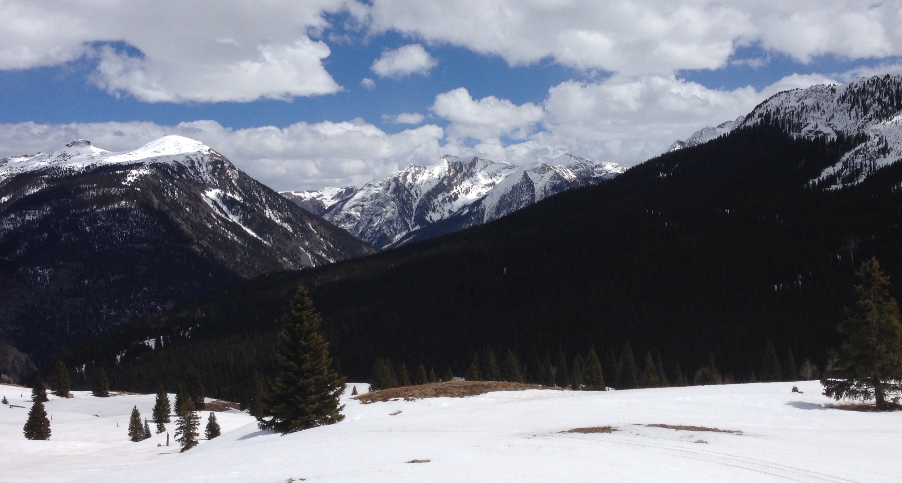
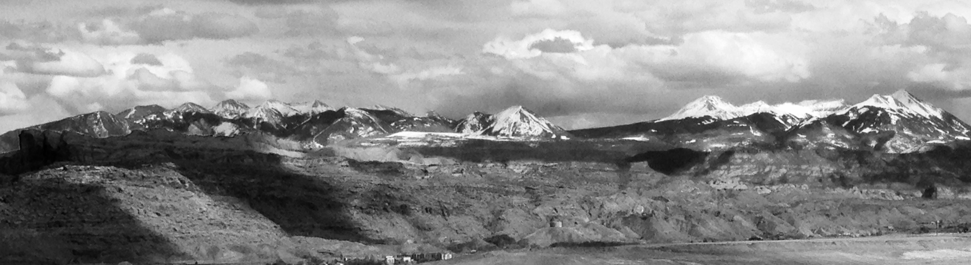
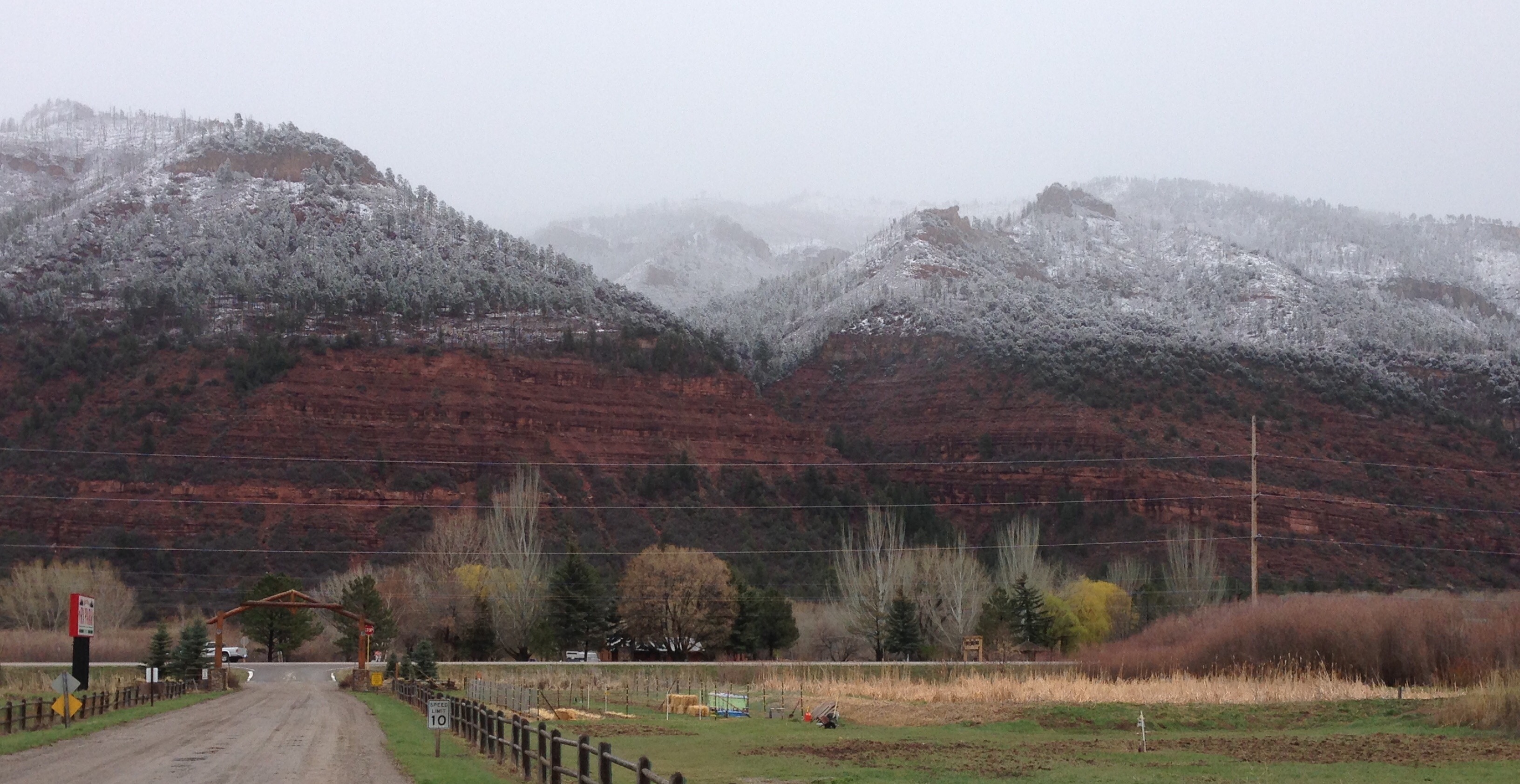
I’ve been living at altitude now for a number of weeks so doses of winter have become commonplace.  But now I’m starting to feel chased around by it.  I knew it had snowed in the high country along pretty much my whole route.  The “top” of this drive would occur between Pagosa Springs in Colorado and Chama in norther NM.  The road would be going up over 10,000 feet numerous times.  There was a lot of snow up high but the roads were clear and, wet to somewhat dry, almost all the way down to Chama.  When I got to Chama there wasn’t a light on in the town.  No power.  Heavy, wet snow all to the south and east.  South of Chama I turned east toward Taos.  By now it was early afternoon.

The snow had stopped but the road conditions east of Chama were less clear, much slushier.  I’d say about 6 or 7″ of heavy wet snow had fallen in the upper elevations.  I forge on, climbing, heading east.  The plowed track is fairly clear in a lot of areas but it is beginning to narrow.  I found myself climbing the mountains in a single plow track with no other choice but keep moving.  Trying to turn around and retreat was not an option.  There was too much snow to even consider leaving the track.  There was no one else.  A good thing because there was no real room to meet.  I began to think that the odds of meeting a snow plow coming towards me were increasing.  I was hoping it would be in an area where he could see me coming.  I went from my Divine Mercy Chaplet CD to my Rosary CD and back again.

After what seemed like an eternity I caught up to a snow plow going in my direction.  He was plowing and dropping grit on the road.  The snow was so wet and heavy that he could only take about a foot or two bite to widen the track.  I have no idea how long I followed him through the mountains .  We met two cars going west.  Easing past them was easy when I was right behind a plow.

On the descent into Tres Piedras we finally met a road grader coming up the hill and the pressure from driving in a narrow track  faded.  Shortly after going through Tres Piedras I drove out of the snow all together.  The truck and the camper were caked with reddish brown dirt from the plow and my nerves were shot.  I still had about 40 minutes left to Taos.  It had taken me all day to go about 160 miles.  I ended the day right where I began it, driving into Taos in a rain/snow mix.  I think it was 60 back home that day. 🙂


Saturday Morning, April 16th , and the Mesa Verde

This morning, as with yesterday morning, the highest peaks, and some of the lower ones, are shrouded in clouds. Yesterday it was cold and drizzly, today the world is powder sugared. Yesterday I thought about postponing my trip up to Mesa Verde, but after checking the weather, it seemed like it may be the best of the next three. So, to Mesa Verde National Park.

If you cut a fairly large tree off flat just above the ground, then roughed up the top of the stump with a chain saw until it’s covered with grooves, you’d have in a relative sense, Mesa Verde. Then if you had an Act of Congress and made some boundries you’d have Mesa Verde National Park.

sculpt2sculpt1

This sculpture, of a cliff dweller scaling a rock face with a basket, is in the entrance patio of the Park Visitor Center.  From this Wanderer’s point of view, this is very powerful work.

While driving the roads in Mesa Verde National Park sometimes you are driving up on the very top of the tabletop. At other times you are down in the canyons worn into the mesa over centuries. There are some stunning vistas from up on the mesa, I just don’t happen to think they make good photos, but that’s just me.

vista1vista2

The Ancestral Pueblo People, whom I’ve written about from site blogs all over the SW, were never more evident than on Mesa Verde. Many archeologists think that at the height, this area of SW Colorado, may have had more people living here then than there are today.

cliffmono

cliff2

Mesa Verde has some of the most extensive, and extensively preserved, ruin areas in the entire four corners area.  Archeological evidence clearly demonstrates an era with large Kiva communities on top of the mesa, and then moving down to become cliff dwellers.  On Mesa Verde the cliff dweller era lasted only about a couple of generations, 75 years give or take.  By 1300 they were all gone.  Sound familiar?

Some of the cliff dweller sections on Mesa Verde have trails that go down closer to the sites.  Unfortunately due to lack of Rangers, (these paths are Ranger guided only), or slippery conditions they weren’t open on this day.  Shortly before I took this last photo it was 45 degree sleet.

cliff3

Meanwhile, back on Saturday morning, ……  Remember, this post started on Saturday morning?  So, speaking of sleet, I’ve been doing laundry and working on this blog while the conditions outside have been moving through, drizzly, a snow shower, although that would imply just a little bit of sun, and light rain. There is no sun and it’s 38.  All in all, a great day for reading and napping. 🙂

Telluride, CO

To drive from Durango to Telluride and back pretty much kills a day.  Especially if you do it the way I do.  Checking out the campgrounds, taking some side roads, poking around on a dirt track for a bit, checking historical markers, you get the picture.

When you’re traveling in the mountains, your eye is naturally drawn to the peaks and the beauty of the canyons with full stream ahead.  But I love as much the ranch land valleys.  With clusters of ranch buildings, corrals, grazing cattle and horses, and the occasional elk, they are tranquility for the eyes.  On a trip to Telluride you are treated to several such feasts.

If Silverton is 3.2 beer, then Telluride is a nice cabernet.  What was once hippie heaven is now gentrified and new school.  There are no dirt streets in Telluride.  What was once just “the road that went up to the ski hill”, is now a town.  The lower sections of the runs are lined with villas.  There is no parking on any street in Mountain Village. Park in designated areas only.

telluride

Many mountain towns over in this part of Colorado can trace their story back to somewhere around 1850 to 1890.  Telluride is like that.  So is, Delores, Stoner, and Rico on the route up here in the Delores River Canyon/Valley.  In 1889 The Sundance Kid robbed the San Miguel Bank in Telluride making off with over $24,000.  It is marked as the “first major crime” of young Sundance’s criminal career.  Later publications noted as early as the following year, that there were already rumors that Robert Redford would play Sundance in the film version.

endofroadsigns

When you leave Telluride in one direction, the road ends.  At least this time of year it ends, and maybe most of it.  This is what you see.


bikeshopmono


In town you can see this, the local used and recycled bikes center. 🙂


The Delores River Valley is cool.  The Delores River flows SW out of these mountains, down to the town of Delores where it makes a right turn to the NNW and begins a long gradual descent to the Colorado River over in Utah.

beaver1beaver2

There are numerous river areas with beaver lodges and dams all down this valley.  No critters moving though.  I feel like today I could have taken a lot of pictures that would have been a lot like yesterday.

No pics from the best moment of the day.  I stopped about 20 minutes to watch a herd of elk grazing in the valley.  There were about 30 or so across the river from me.  Even from 300 yards away almost all of them took note of my stopping.  They took the requisite time to establish I wasn’t a threat, and went back to their grazing.  I could see them pretty well with my binocs.  I’m not overly versed in the language of elk, but I believe this would be a group of cows of different ages, and one and two year old calves.  And some of the cows would be pregnant??  Is that right, I’m not sure.  Somebody out there might know, so feel free.  Anyway, the bulls are all off doing bull things.

Twelve weeks ago today I left St. Paul.


Silverton, CO

My plan today was a drive up to Silverton, return, and then a bike ride down into the old part of Durango.  The old narrow gauge train doesn’t start to run up all the way to Silverton until “sometime in early May”.

In the Animas River Valley going north,  what I remember as mostly small ranch and grazing land has been supplanted by a couple of RV parks, one of which I’m camped in, a few mobile home courts, a couple of gated communities with golf courses, and a lot of yuppified homes scattered 20 miles up the valley from Durango.  There is one large grazing area still left right at the head of the valley.

vista2

It feels great to come off the high desert plateau of Utah and return to the forested mountains of SE Colorado.

animas3

And this time of year there is the added bonus of lots of water running everywhere.


falls2

falls

silverton

Silverton is an old mining town, one of the oldest in Colorado.  It’s a little quiet now.  Most of the busyness is people getting there shops ready for “the season”.  One of the reasons I’ve always been attached to Silverton is the only paved street in town is the main street.  All of the others, and there are only a few, are still dirt.  The back streets are an odd mixture of abandoned houses, new rustic looking ones, and junk yards.

mainoldsquare

animas2

The Animas River flows out of these mountains, through Silverton, down through Durango and into New Mexico where it joins with the San Juan River which joins the Colorado River in Utah.  newfavoritebar

It also flows right near my newest favorite bar, the Pickle Barrel.  And oh look, here he comes with my Italian sausage soup.


There are two mountain passes on the way to Silverton, Coal Bank and Molas.  Both are comparatively benign although Molas tops out at just a couple of feet under 11,000.  The next one, on the way to Ouray is Red Mountain Pass.  I didn’t drive all the way over to Ouray, but I did go up to the top of Red Mountain.  It was like visiting a friendly old rival.  I’ve seen the best and worst that Red Mountain can throw at you.  This road, as much as any, defines for me the phrase “not for the faint of heart”.  I have history with this road.  And it’s not so much the precipice sections as it is the weather and conditions it can throw at you without warning.  I don’t know if they still do it, but back in the day when the high avalanche fields would build, they might stop you on the mountain for a couple of hours while they shot artillery shells into the snow build up.

Today it’s very quiet.  Except for brief moments of passing vehicles there is no sound.  No wind, the clouds are barely moving.  That almost never happens at 11,000 feet.

Once I drove off Red Mountain down to Ouray entirely in first gear.  A trip of usually 20-25 minutes took me, if memory serves, almost two hours.  About one and half miles above Ouray I came upon a flatbed semi that was backing back down the mountain.  He had reached the limit of consistent traction he could get, and with no place to turn around, was returning to Ouray in reverse.  And folks he wasn’t backing down a straight road.  He and I were the only ones up there and I stopped to ask him if there was anything I could do to help.  He had been trying to raise someone on the radio and was hoping for a patrolman to come up.  I told him I’d find him one.  When I was almost there I met a highway dept. sand truck and a sheriff’s SUV on the way up to do a little escort work.  Yup, Red Mountain Pass and I have history and I’ve always kept most of it to myself.  But I digress.

vista

The mountains are beautiful.  I love them.


corral1corral2

And I didn’t forget the old wood.

I never did make that bike ride.  I stayed up on the mountain too long and besides, it was drizzling when I got back to camp.  So I went and had Mexican and margaritas instead.


Wednesday, Durango, CO

my officeThis is my office mentioned in the previous post.  I want to tell you about a couple of things in this picture.  That mason jar you see is actually a little light.  It’s a perfect night light.  It is a gift from Tim and Ro and has been a constant in my work space along with the other things you see.  (Well, the clip-on desk lamp you just barely see.)  Inside the light are a little notepad to record “close” moments, and a little green shiny rock.  I’ve used the notes a few times, but really anything I would have written there I wrote about here.

Joe and Karen, along with Karen’s granddaughter McKayla and her friend Haylee, were camped next to me most of the time I was camped in Kanab.  I mentioned they brought a dog visitor back with them from Best Friends.  McKayla and Haylee are 6th and 5th graders respectively.  During the late afternoon the day after they arrived, I thought I heard a barely audible knock on my door while I was reading.  When I looked, it was the two girls come to invite me over to their campfire that night.  I know, how’s that not the sweetest right?

The next day they had returned from Zion and again the little knock. This time they had found a shiny little green rock and they wanted to give it to me.  I know, I know, you can’t make up something this adorable.  So I showed them the light and told them my rock was going to go right inside.  They took it to show Grandma.  I told them about my blog and said I was going to write about my rock and about them.  When I left they asked me about the blog and wanted to know how to follow along.  I hope they are still out there and didn’t give up on me and think I had forgotten.  This became the moment to write about it.

I am well and hope you all are too.

Monday, Canyonlands National Park, The Needles

Canyonlands National Park is naturally divided into three sections by the Green and Colorado Rivers that both enter the park from the north and come to a confluence in the middle.  Until that point they are calmly flowing rivers.  Once joined, the Colorado becomes a lively little number careening down a canyon in a section called The Cataracts.  Upon my almost certain return to Moab I hope to one day do one of the raft trips through there.

The three sections of the park are The Needles, The Maze, and The Island in the Sky.  The Island area can be explored by entering the park road from the north, which I did Sunday, and The Needles area is entered from the east on a park road.  The two routes do not meet in the park.  The Maze is the most remote area of the park being accessible only by foot or the Green River.  There are two, high-clearence, 4×4 only, dirt tracks that enter The Maze from the west.

chrchrock

Right by the turn onto the road that goes into the Needles is Church Rock.  This formation is actually on private ranch land so, although there’s a dirt road going out to that intrigueing “entrance” at the base, one can’t drive to it.

petro

On the road in, before the park boundary, is another “Newspaper Rock”.  This one, unlike the one in the Painted Desert Park, can be viewed from just a few yards away.  This is a “pan” picture so it looks deceptively like I’m back from it a ways.  I was in awe, and so appreciative, of being able to walk right up to it. With the exception of a few modern day air heads who just had to deface this historical treasure, the youngest petroglyph is from about 1300.  Some analysts of this rock think the stories left here may span as many as 2000 years.

The hiking in all of these places is so incredible.  Deciding which ones to take is the hard part.  I had several picked out that I thought would be about four and a half to five hours of so.  That’s total. 🙂

ruincowcamp

The Cave Spring Trail has preserved sites from two distinctly different eras of inhabitants.  These are from an old cowboy camp.  It’s easy to see why people used this area extensively as “home”.  It has a spring and numerous shallow caves and overhangs to provide shelter from the weather.

cowcamp2sprcave

The Spring Cave overhang and pictographs.


pictos

ladder

slot

This trail had some interesting pitches to it.  There were two of these on this hike.

caprocks

There were also a lot of pedestal  formations that have harder rock perched on a more easily eroded sandstone.


pool1

I’m no biologist but these pools while they hold water are critical to the lives in the park.  When in these pothole areas it’s important to not walk in or touch any of these potholes, wet or dry.

pool3pool2

You can’t see them of course, but there are actually little marine lives moving across the sediment of this pool.  For most, their life cycles only last while this pothole has water.

rocksneedles

You can photograph unusual rock formations until the cows come home in this section of the park.  And here is the requisite picture of a vista section that gives this area it’s name.

hikert2

My final hike was the longest and most strenuous of the day.  I came up through this narrow canyon, and headed up to that cut you can see up above in this next pic.

hikert1

slot2

By the time I got through the cut those darker clouds you can see were looking grumpy.  The wind had picked up and the temp dropped enough so you noticed it.  It was time for a flash flood avoidance return to where I’d left my truck.

This is my last post from my time in Utah.  As I’m putting together this post I’m actually sitting in my camper, at my mobile office, in Durango, Co.  It’s a great feeling for me to be back in Durango, one of my favorite Colorado towns from my years working and traveling this area.


Sunday, April 10th, Moab, UT

I want to say right from the jump that I love Moab.  It’s a mountain town, it’s bustling, it’s not too big and not too small, and there seem to be about 20,000 bikes.  When I was through here the other day, the day I went to Arches National Park, I tried to move my camp up here from Blanding, but there was no room at the inn.  Did I mention earlier that Blanding should really be named Bland?  I checked with about three different campgrounds and they were all full, so I gave up.  The campground is not full in Bland.

I knew I would be back through here.  To get into Canyonlands National Park from the north, I would have to go through Moab.  I planned that second trip for Sunday ’cause Moab also has the only Catholic Church over in this part of the state, St. Pius X Catholic Church.  I was glad I did it that way because the Pastor, Father Bill Wheaton gave a great homily connecting love and service.  He went through a whole list of “love is this”, or “love is ……,” fill in your own.  He was of a mind that love is, in the end, about service.  Service is love in action. The Gospel was the story of Jesus asking Peter three times, “Peter, do you love me?”  Each time Peter proclaimed his love, Jesus challenged him to turn his love into action.  “Peter, feed my sheep.”  “Tend my flock”.  I liked Father Bill immensely.  Ok? …….

Change gears.

I woke up this morning thinking today is going to be selfie day.  Yup, I was going to turn over a new leaf.  Ha, had you goin’ there for a minute didn’t I?  I did however have this feeling that I wanted to take a day off from pictures.  That I just wanted to relax, give the sabbath it’s due, and enjoy the scenery, and not be giving great energy to photo results.  I did have this idea to make it a mono day.  That if I saw something that looked like it might render well in black and white, I would shoot it.  I also wanted to spend just a certain amount of time in the Park because I had my eye on this bike path in Moab along the Colorado River.

cl2

I’m not knocked out by the results, but here are a few I thought might be something.


cl4tree

Here I go with the wood again.


moab2moab4

And for those of you who are just not in to black and white, …………….

moab3

moabbrew


My reward after a couple of hours on that bike path I mentioned. 🙂

Arches National Park, Moab, UT

Arches turned out to be a bit of a mixed bag.  It was very crowded.  It was like Yellowstone on the 4th of July.  Cars everywhere.  Many of the view spots and trailheads had no place to park or even stop.  Many of the shots of arches were full of people.

The good news is, what that made me do, and others, was stop away from where everyone else was and look for my own shots.

moabvista2arch11arch12

Some areas of Arches Park is like a compact version of Monument Valley.  Monolithic rock faces, spires, and hoodoos with less open space between them.

arch8

arch9

arch2

There are over two thousand arches in the park area, the largest concentration of these type of erosion formations in the world.


arch3

arch5

Most are never seen by the people who visit the park each day and some are only rarely seen by the hikers that enjoy the remote treks.  Although I was off on my own when I took these shots, this isn’t really an example of that.  There was plenty of evidence that others had wandered off like me before.

The Park Service approach is to do things that minimize human impact in the park.  So they do discourage people from just going wherever they want.  But when it’s crowded, …………

arch4

Here’s a perfect example of the wisdom of the Park Service philosophy.  You probably have gotten the idea that I like old wood as picture subjects.  These ghost trees, (my name) are extremely fragile.  I would liken it to how fragile some coral is.  I walked up to this tree with the intent of shooting through it.  I accidentally snapped off a twig with a touch so light I didn’t even feel it.  I just heard it snap and then fall to the ground.  I had a momentary feeling of being where I didn’t belong.  I now give them more “room” or if I approach them I do it with great care.

arch1

Remember my whining at the beginning of this post?  Look closely, can you see all of those people up by the arch.  I felt no incentive to join them.

narrow1


This turned out to be my favorite spot of the day.


narrow2


Tight quarters.  Remember the story of the guy who had to cut off his trapped arm?  When I saw those rocks wedged in there I couldn’t help but think of him.


narrow3narrow4

When I return to this area on future trips, I will visit Arches National Park again.  But I will do it at the crack of dawn for the best light and thinner crowds.

Every day my lungs are taking the hiking better.  I am well and hope you all are too.

Hovenweep National Monument, SE Utah

hov2The first we know that there was structural ruins in this area came from an account in 1854 by a Mormon explorer named W.D. Huntington.  Some twenty years later when it was being surveyed and photographed, photographer Henry Jackson gave Hovenweep it’s name, which means “deserted valley” in the Ute/Paiute language.  The evidence was clear that someone had been here long ago but had also left long ago.

hov7

The ruins of several large communities are spread along an area of several miles.  These photos are of a community settled in a small canyon, thus it became known as Little Ruin Canyon.  Both rims have ruins and the distance from one rim to the other is never more than about 100 yards or so across.

hov5


The evidence is clear that all of these structures were built in a relatively short time period and these Puebloan people were no slackers as masons.  Most of the structures have walls that are two and three courses thick.  It is thought that some of the structures were residential, some defensive, and some purely ceremonial.

hov8

The Square Tower is the lowest ruin in the canyon and may have been three stories high.  This is one thought to be a ceremonial structure.


hov6hov1hov3


It is also thought that the protection of their water source was the motivation of the ruins that seem defensive in either their structure or their position.  The trail that takes you through the ruins area does go down to the bottom of the canyon and back up the other side.  There is not flowing water in the canyon floor, but water is there, and better described as seeping.

canyonfloorhov4Like many people of southwestern states that came and went from the great Colorado Plateau, it is believed that the last inhabitants left this area in the late 1200s.  They were here, they built homes and villages, and then they disappeared.

When I left Hovenweep I drove down to the Four Corners Monument and Navajo Tribal Park.  This seems like a place that you go to so you can say you were there.  I didn’t take any photos or even stand at the actual four corners spot.  It was too busy with people doing silly touristy things which was entertaining for a little while.  For my part, I would love to be here when a Navajo ceremony or celebration is taking place, and I had some great fry bread with apple butter.  I’d go back just for that. 🙂