I decided some time ago that this winter while in Guatemala I would limit my post writing to some travel within Guate and any other experiences that were different than the things I’ve written about in the past. Write or wrong, (see what I did there?), I figured I have written enough in the last couple of years about my daily life down here, Antigua, and The Processions during Lent.
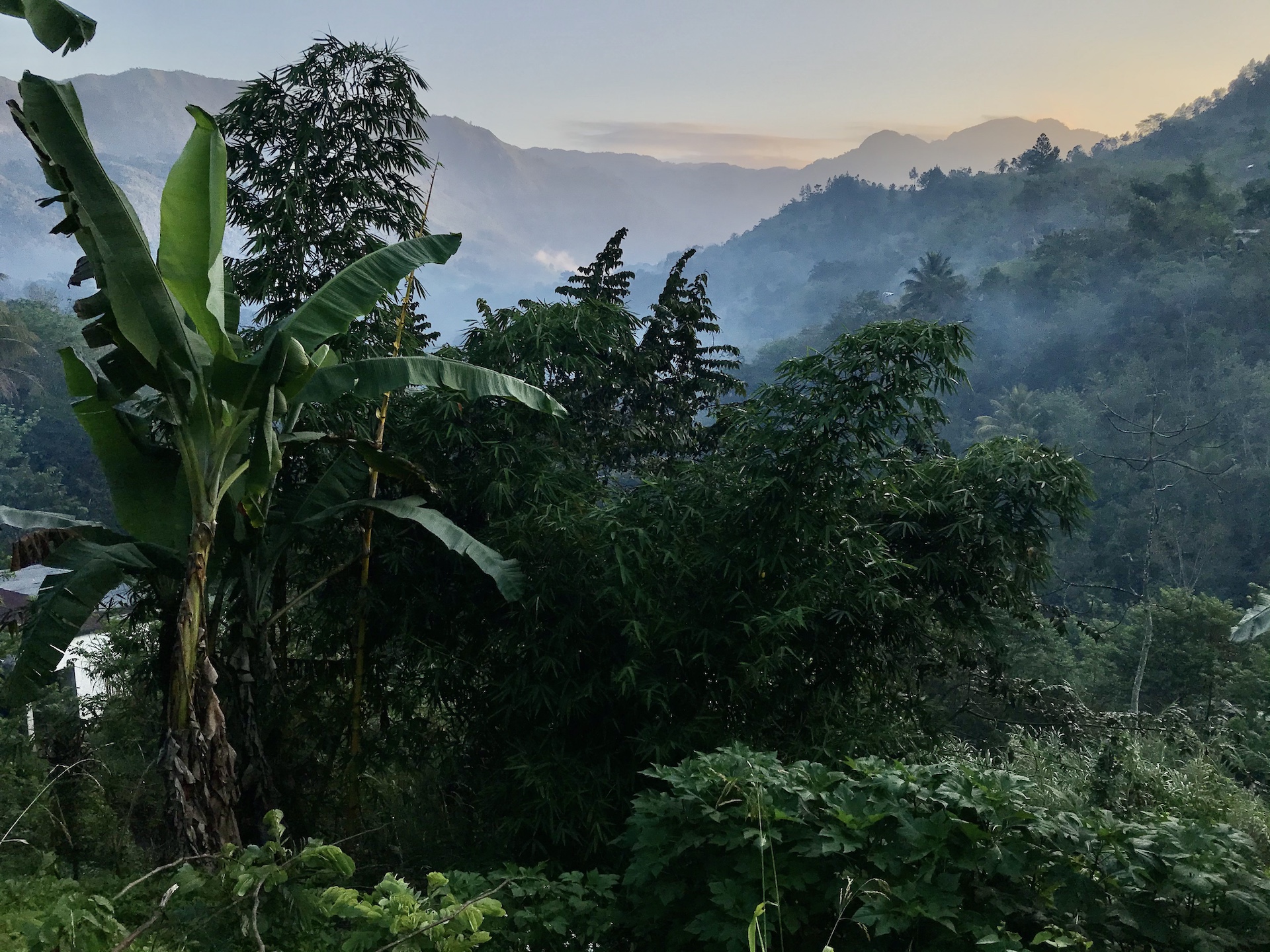
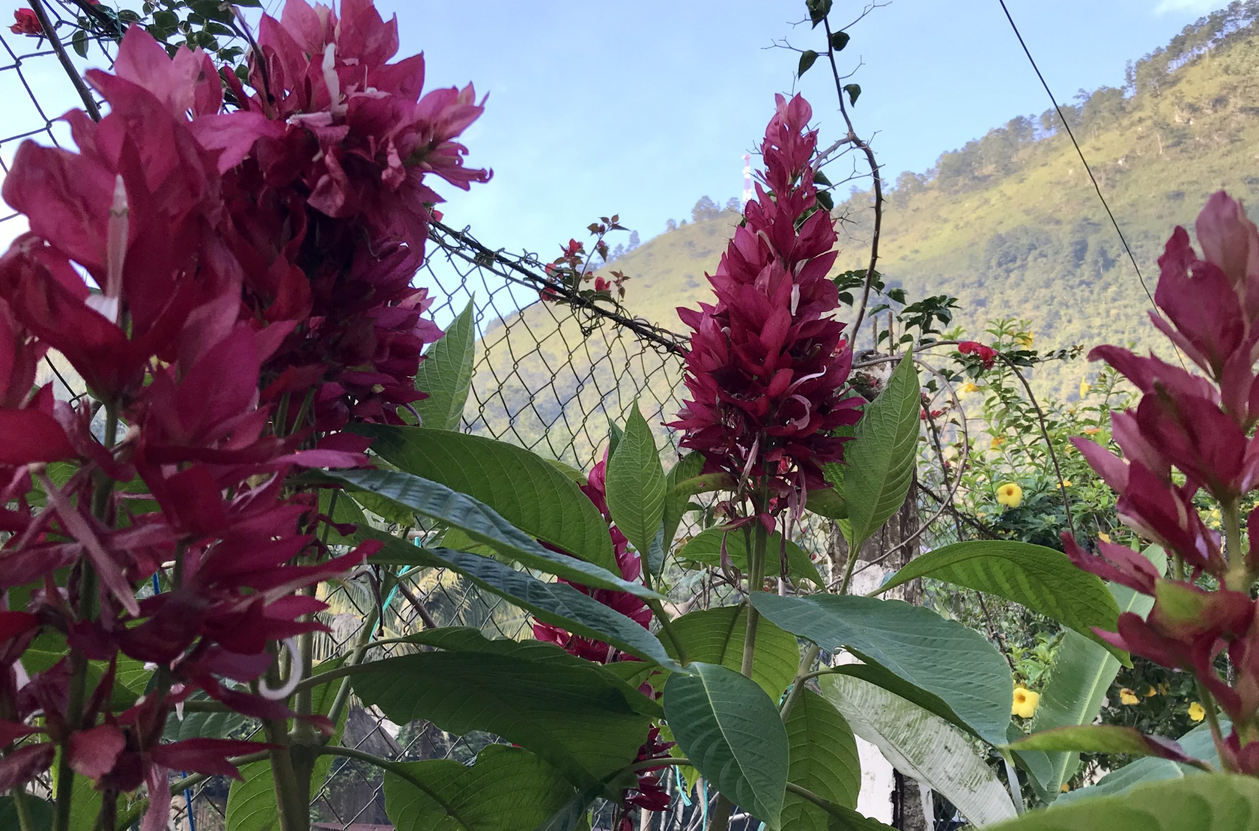
Semuc Champey is a National Park area, popular with trekky types, in the mountains of northern Guatemala. I say that because the trip is arduous, the hiking intense, and the beauty amazing. The mountains of Guatemala, especially in this area, are not at all like how we think of mountains in the US, with their jagged peaks and strung out in miles of ridge line ranges. Many of the mountainous areas here remind me of a table top full of jujubes and Hershey’s kisses all pushed together.
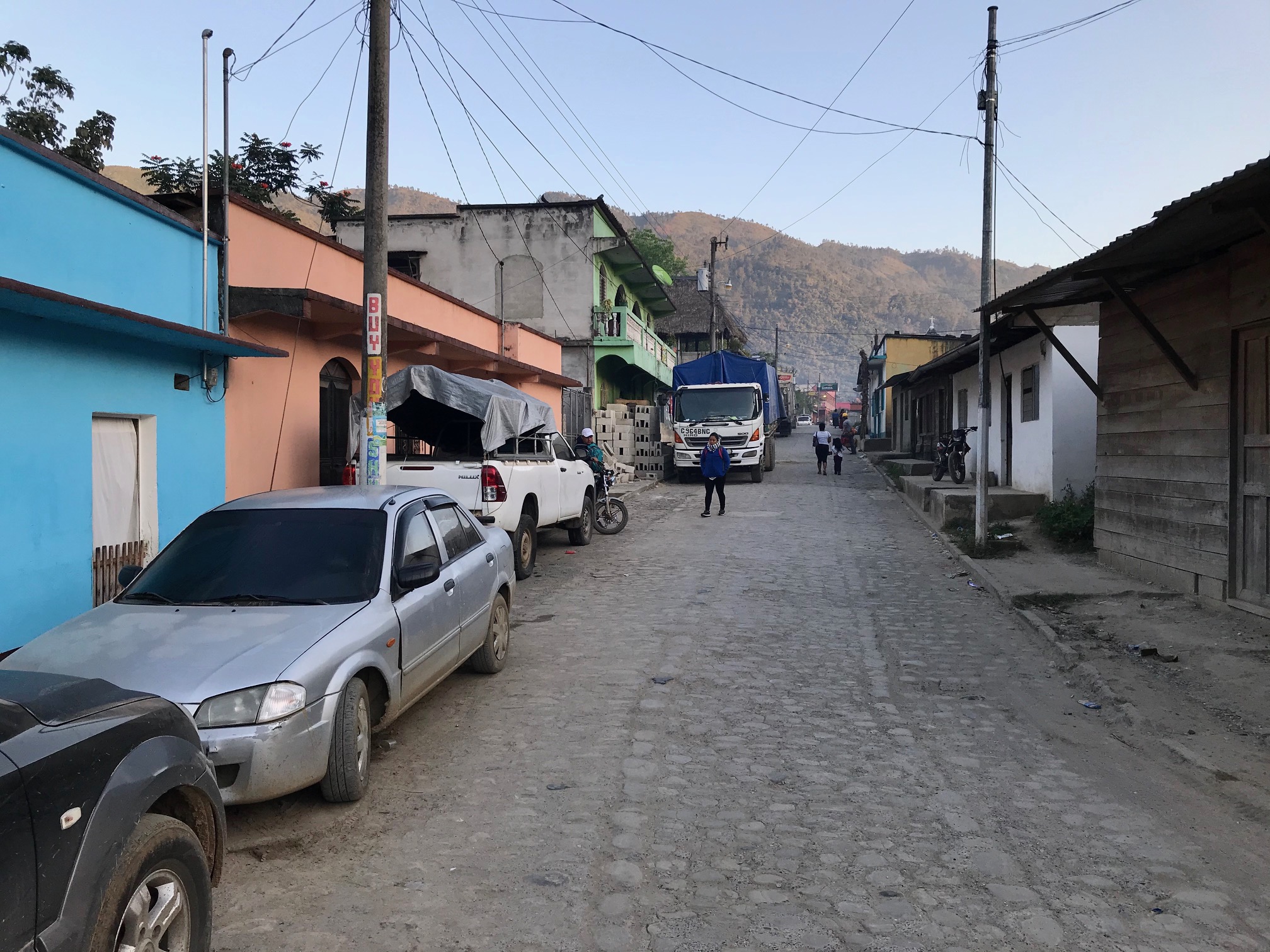
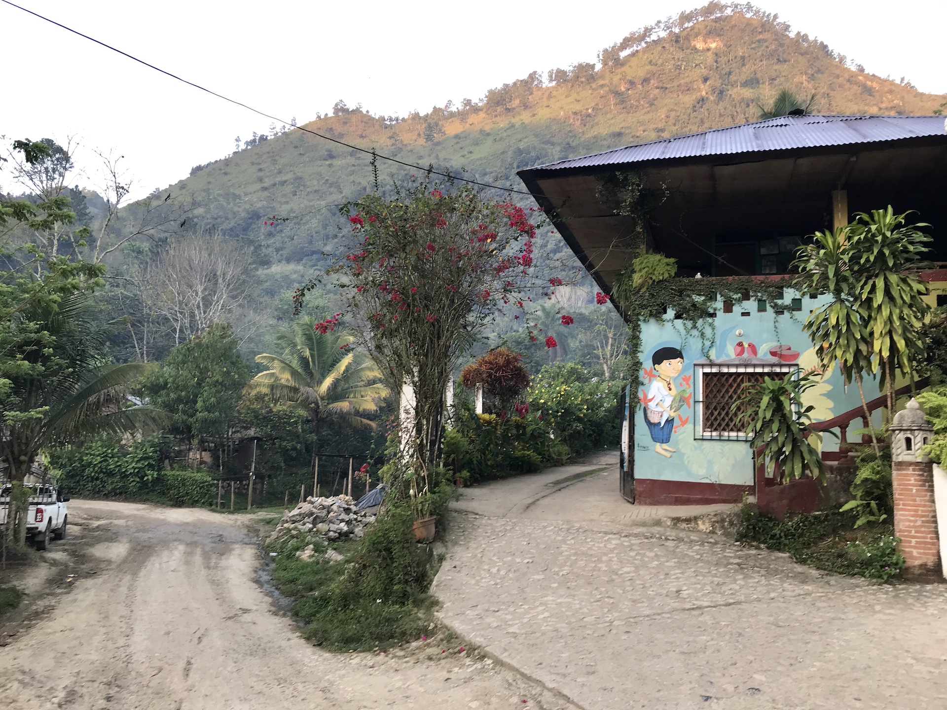
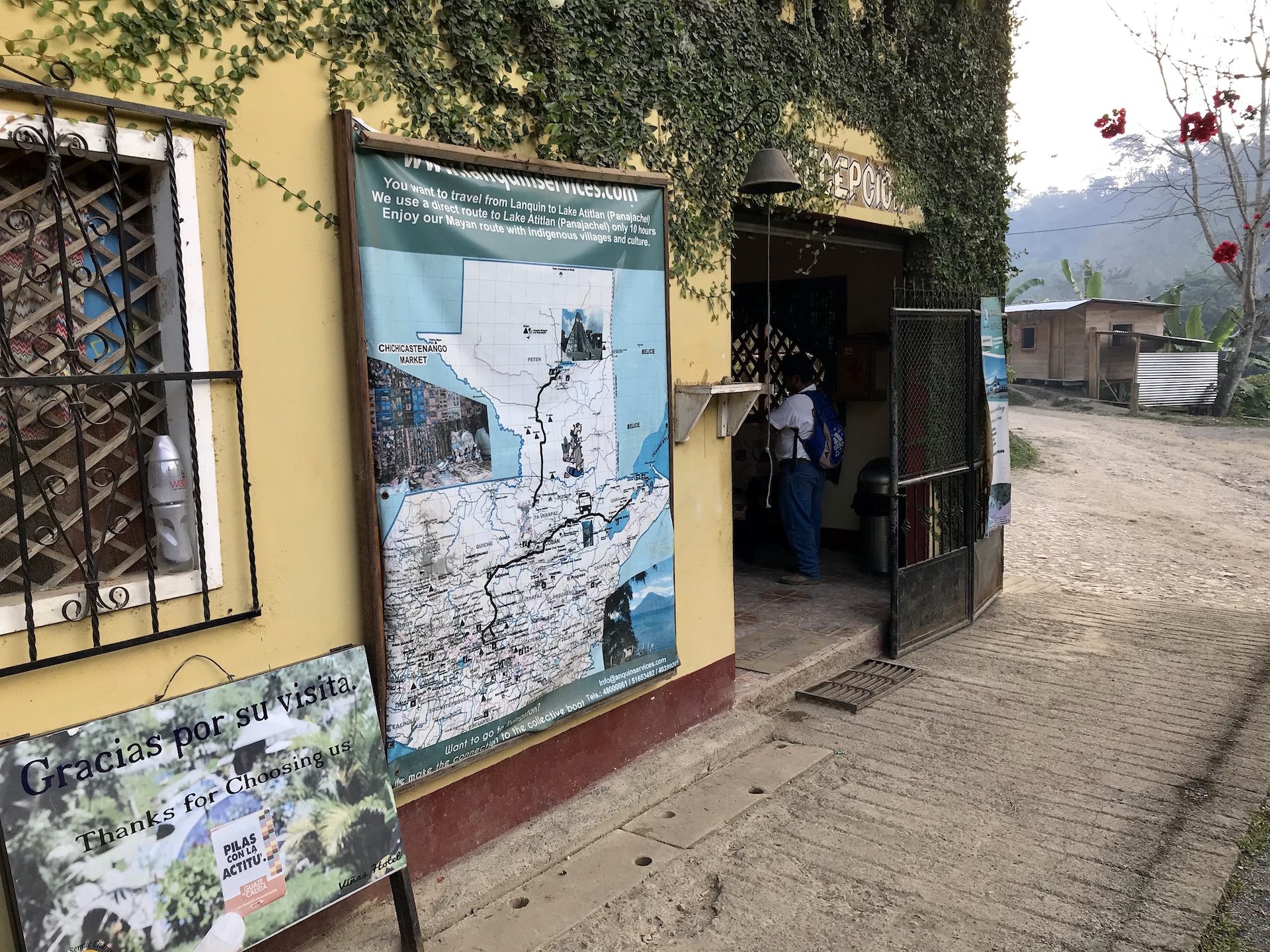
The end of the line village is a mountain valley community called Lanquin. Its size is limited by the geography with one or two main streets that run its length. Unlike many other mountain communities in Guatemala, Lanquin’s streets are mostly finished with pavers with some sections of strictly dirt. The town makes much of “its living” from its proximity to Semuc.
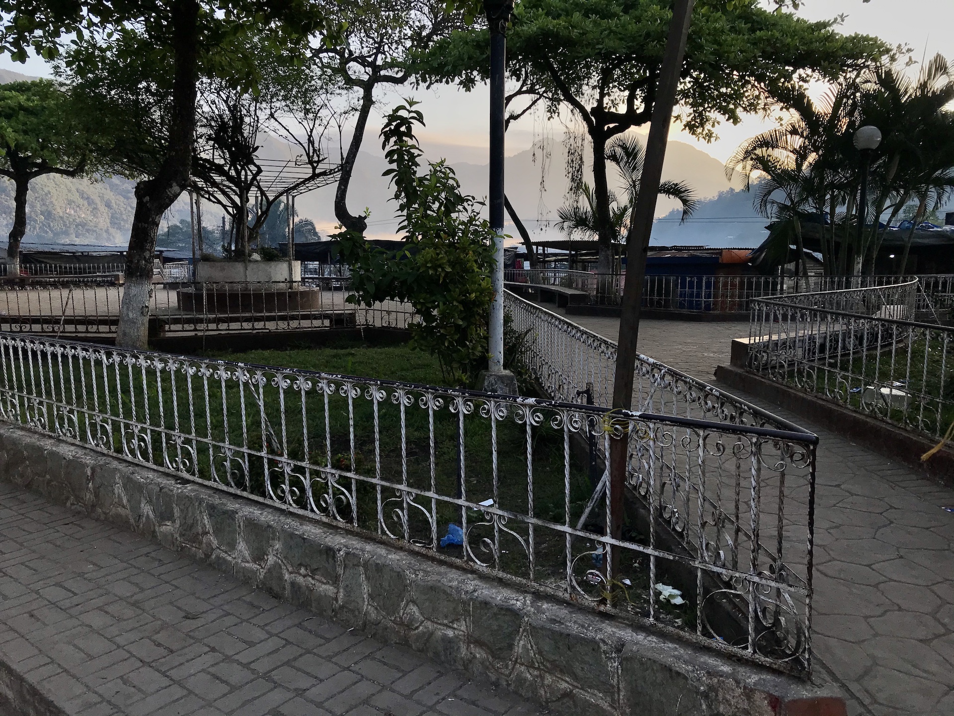
Here’s a few other shots I took in Lanquin with the last one in this group being the entrance to the hotel I stayed in.
The hotel was simple but nice. I chose it because it seemed to have the last private room in town for the dates I would be there. But it did not disappoint.
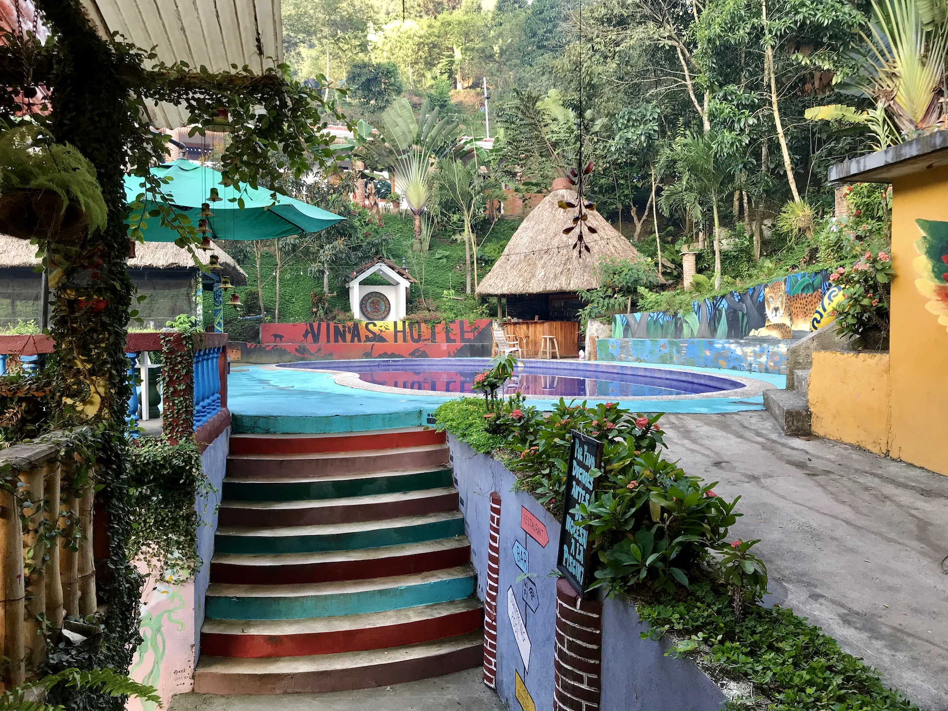
Most of the site energy seemed to be put into the pool area but it had a nice little restaurant and the food, all typical Guatemalan, was excellent. My room, seen below, was a two room bungalow building with a view of the driveway and parking lot. But it had everything I need, a nice firm bed and a good shower. Below that,the entrance to the hotel “lobby”.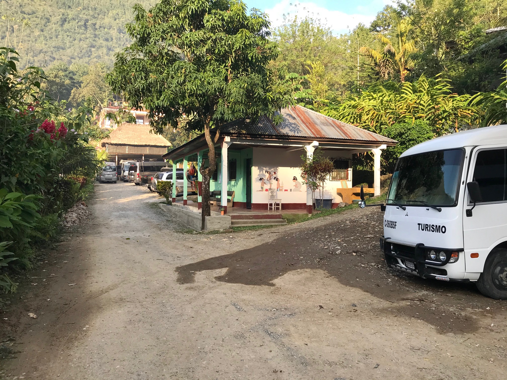
It sounds probably like I’m making a little fun of it, but I truly did like this place and the kids that worked here were really nice. If you want to go native, there are some hostels closer to the park entrance, but those are community living. Bunk rooms of six to twelve people, sometimes mixed gender, community dining, everyone eats the same thing at the same time, community bathrooms, and limited hours of electricity. Sign me up. 🙂
Before I show you some pics of my day in the park, let’s get back to that arduous journey part. You could describe any road trip, of any consequential length, as an endurance event. The little travel and tour companies, or the shuttle companies, will tell you that the trip from Antigua to Lanquin is seven or eight hours. Don’t you believe it. My trip was over ten each way. Two rest stops. Mountain roads, road construction, road condition, and old, under powered, and sometimes seriously overloaded vehicles, all make for trips that only occasionally involve any speed. If you’re lucky you’ll ride in one of the mid sized tour busses with big windows, a center isle, and fairly comfortable individual seats. If you’re not, then its your basic twelve passenger van. Either way don’t count on any leg room. If you’re 5’2 or 3″, you’ll be fine. Road construction areas can routinely involve twenty to thirty minute waits. I could go on and on about all the nuances that can make a shuttle trip a little slice of hell, but it would just turn me into a grumpy old man. Oh, and every trip seems to have at least one person who never, ever shuts up. You know the kind I mean; they think that everyone loves the sound of their voice as much as they do. The scenery by the way is always great and the villages interesting.
Having said all of that, I want to be sure to add this point. In the almost twenty years that I’ve been coming to Guatemala the road system has improved dramatically. And that’s an understatement. Any developing country that wants to promote tourism and improve the lives of its citizens knows that this has to be a focus of energy and resources. Guatemala continues to have lots of work on its horizon but it has come a long, long way. There is one unfortunate twist in all of that. The improvements are largely the result of national projects. The streets and roads that are strictly the responsibility of local municipalities often go unimproved because the resources just aren’t there.
Ok, to the park. The last leg of the journey between Lanquin and Semuc Champey can only be accomplished by four wheel drive truck. It takes about forty minutes. The trucks have a framework of steel pipe in the back for holding on for dear life. It’s a stand up trip. Sometimes packed like rush hour on a New York subway. I regret not getting a picture of this to give you the complete visual. Sometimes the truck has a backseat which sparks a feeding frenzy of “dibs” amongst the young travelers. I’m talking about the vagabond gringos and Europeans. Couldn’t find a thought process that seemed to think that offering it to an older person, or God forbid, a young Guatemalan mother with a baby, made the most sense. Oh well. The road is rugged, steeply and constantly up and down, and when I arrived at the end, my hands were cramped into a permanent death grip position. Just the ride was a workout equal to any I could put myself through at the Y.
Once inside the park there’s a fairly easy trail that follows the river. The river is the Semuc, an aqua clear mountain river that isn’t as cold as you might expect. The “pools” are the most popular spot along the river but there are also some caves. I did not venture in.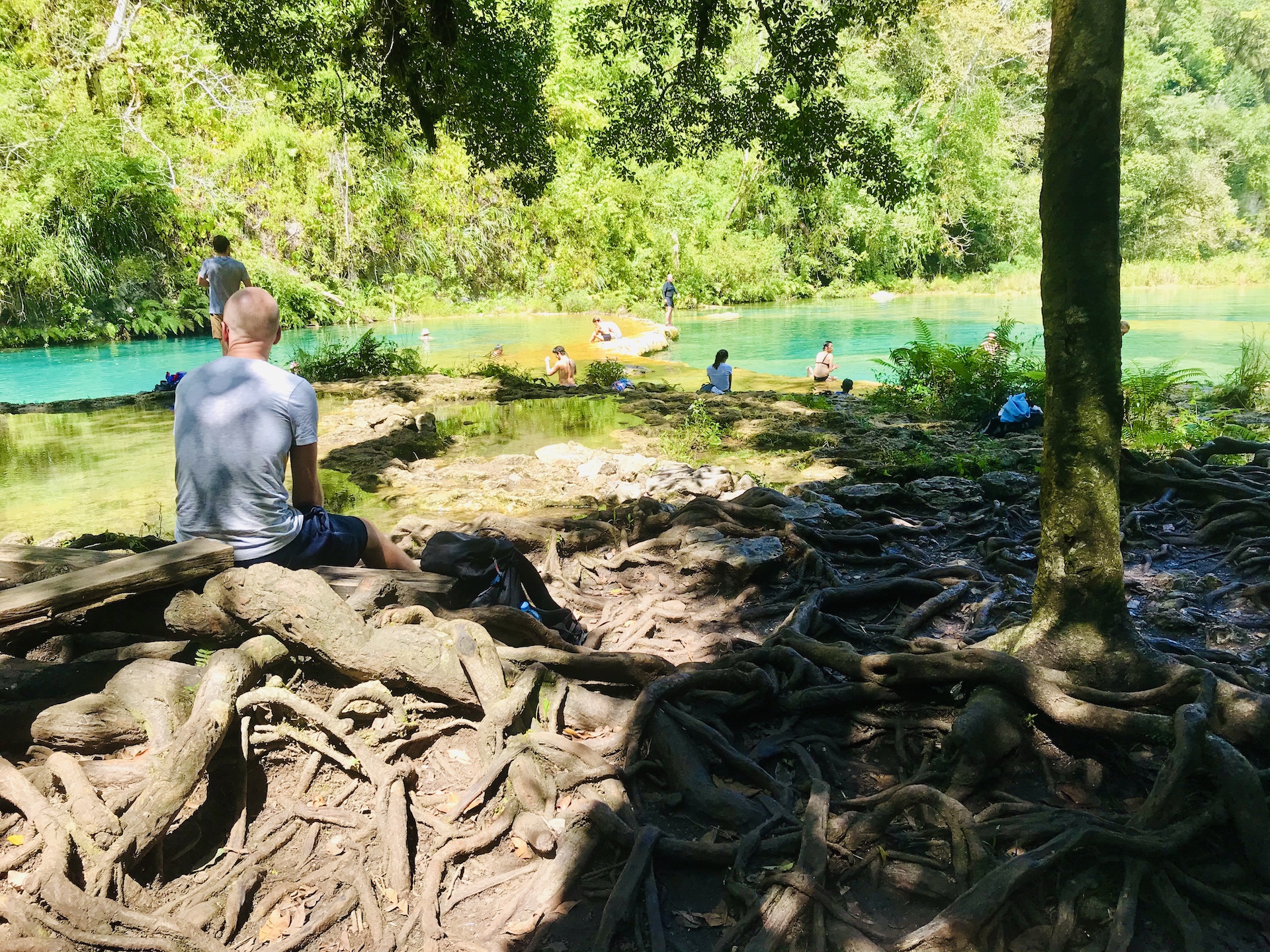
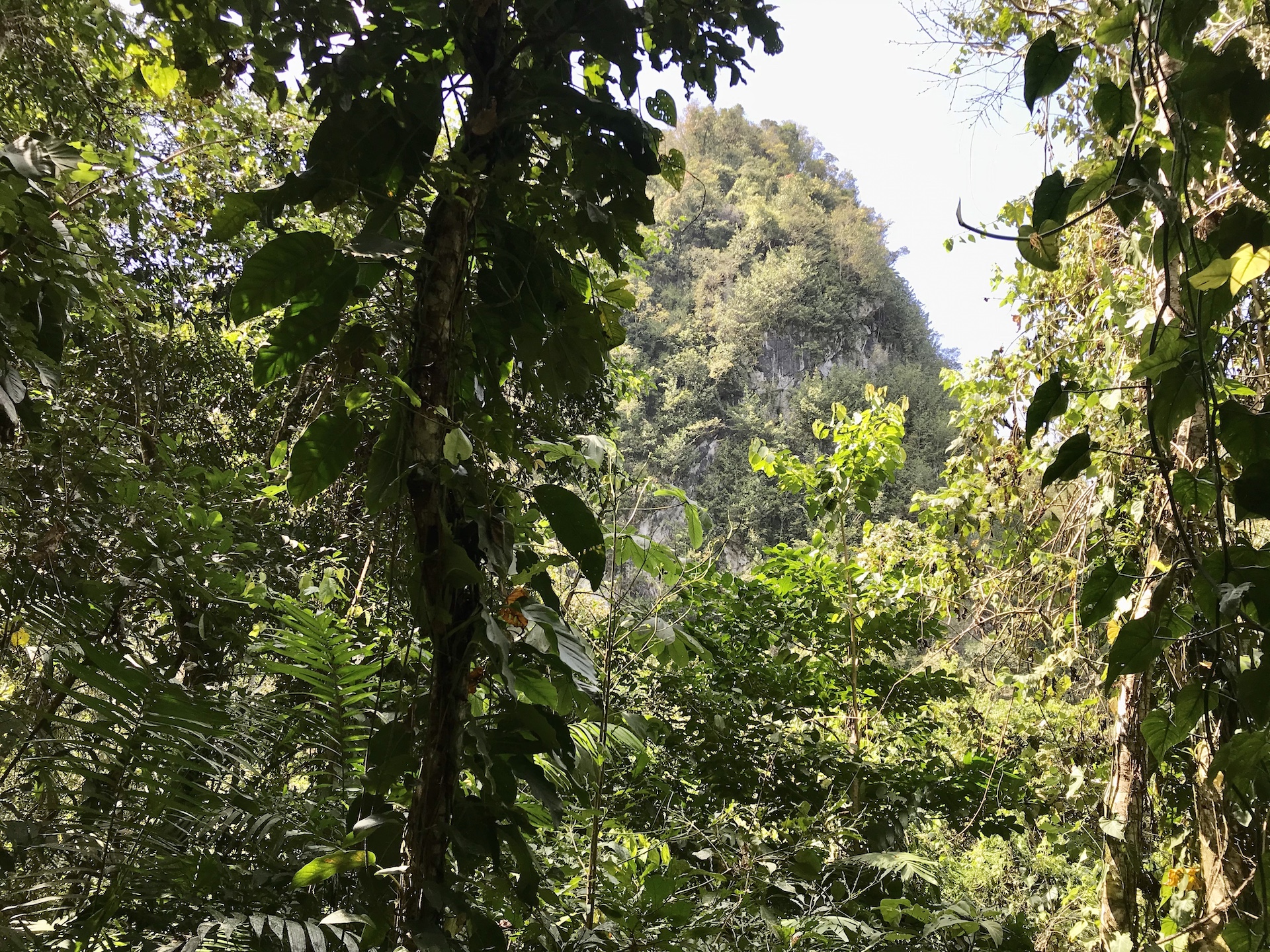
The trail system has a loop that goes up to Mirador. Mirador is a common name used in mountain areas, it’s Spanish for viewpoint or vista.
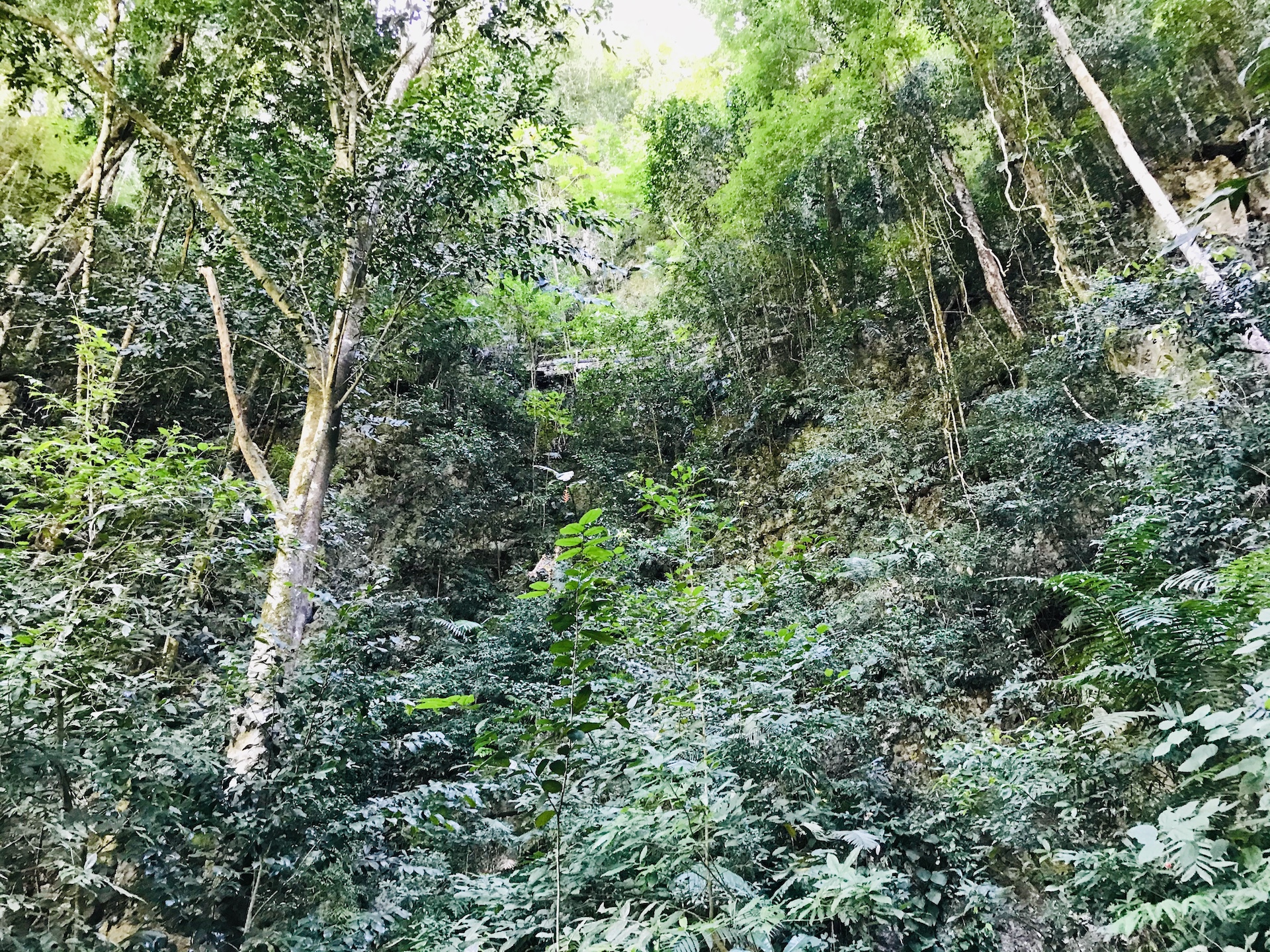
One section of the loop is the longer, and some might say “gentler” choice. The other is straight up. This pic is looking up and the angle of the trees gives you some sense of the steepness. If you look closely you can just make out a small walk way above that crosses this ravine. My trip up often involved using all fours. There are occasional sections of walkway or stairs which would make all of the blood drain from the face of any OSHA inspector worth his or her salt. 🙂 When I reached the summit my clothes were completely drenched. I was grateful to be wearing gear made with quick dry fabrics. My reward at the top was some fresh mango and coconut and a replenishment of fresh water. The resiliency and fortitude of Guatemalan women never ceases to amaze me. I know that sounds sexist but get over it. A few of them make this trip every day, carrying food, and being there to greet and nourish spent hikers. Oh, and the other reward was this. That’s the pools down there.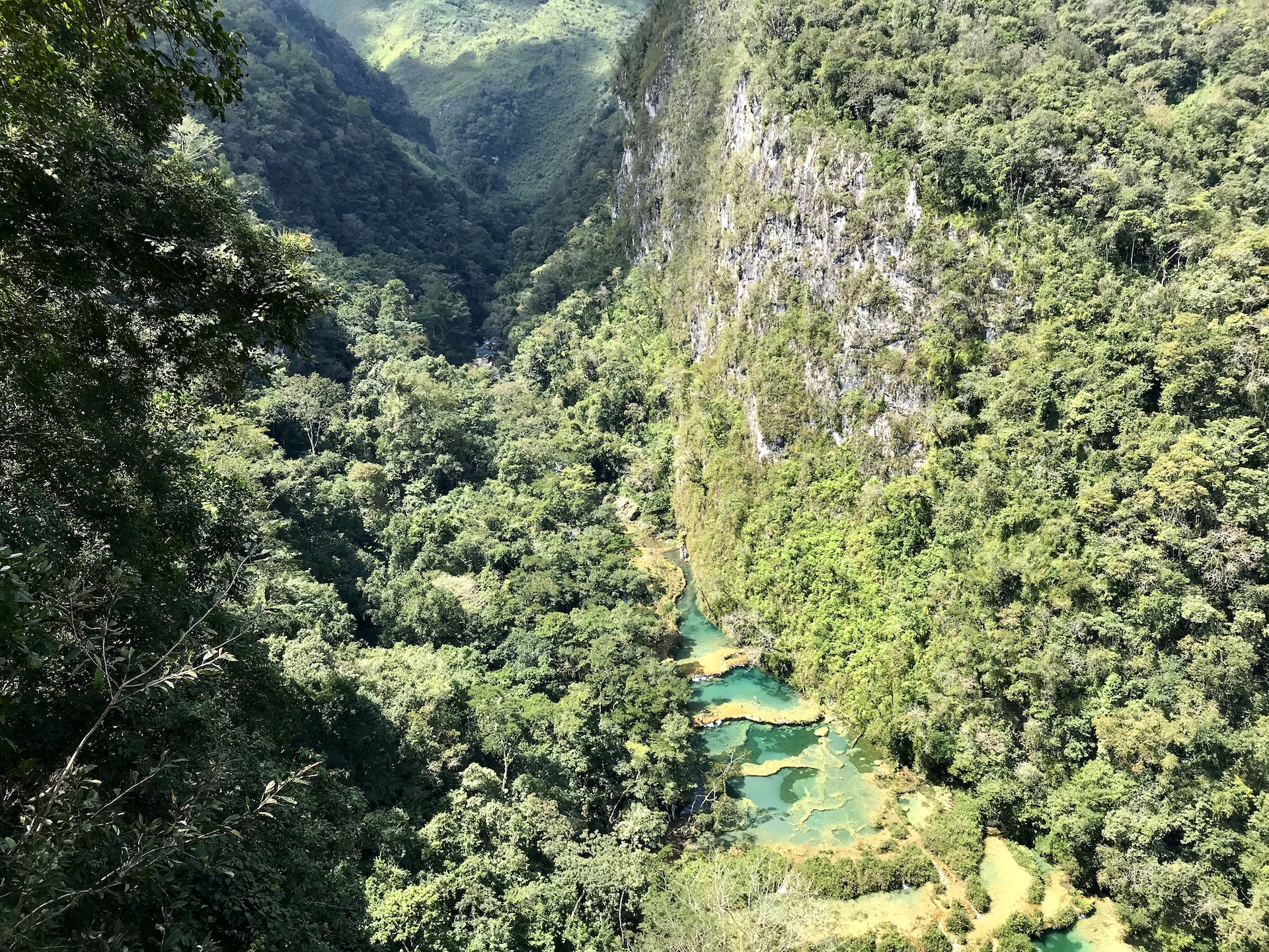
I gave myself a nice long rest at the top just enjoying the views. Picking my way back down on the “easy” part of the loop was for me very intimidating. And hard on my knees. Going slow, and more importantly staying focused, got me safely back down to the river. The whole thing was exhilarating.
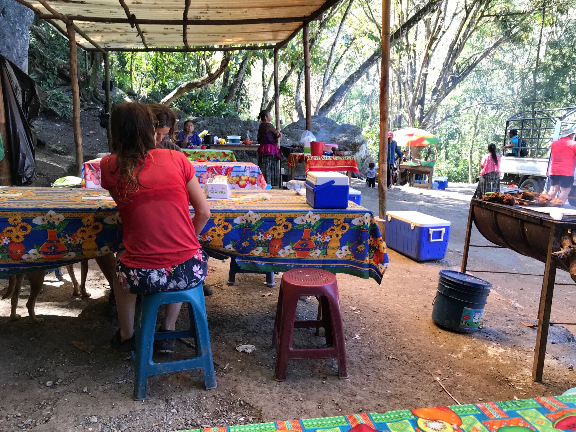
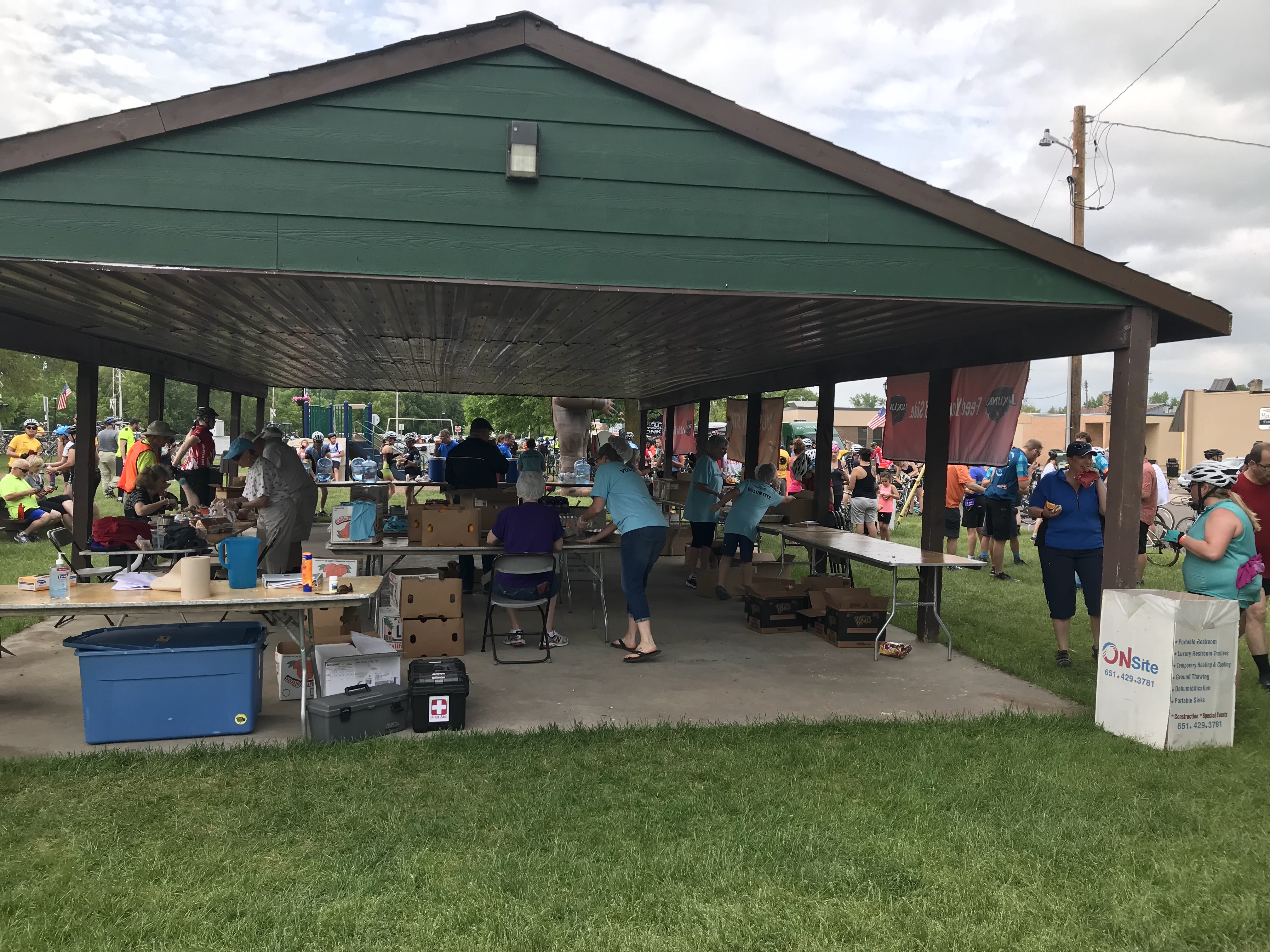
When I came out of the park in mid afternoon I thanked God for some cooks. Thousands and thousands of people in Guate scratch out a living serving meals along the roads, in the villages, or anywhere people are gathered. From the multiple choices, I approached what I presume was a mother and daughter that had several huge slabs of pork ribs on their grill. I had to ask her to give me a slightly smaller portion than she intended. The ribs, and the ever present rice, beans, and tortillas cost me 25Q. That’s three dollars people. I gave her 40Q and the food was muy rico.
At the risk of insulting your Intelligence, here’s a fun fact; the Quetzale is not only the national currency but also the national bird. Very beautiful, very rare. It’s worth taking a moment to Bing it, (or Google if you prefer), to look at some photos and videos.
So there you have it. My first actual travel post of this year. I have some other explorations planned so there will be more posts to come. Although probably not at the frequency of the past.
I am well and hope you all are too.